Old Maps of Taymouth Township, Michigan for Genealogy
Trace your family roots with 34 historic maps of Taymouth Township. These high-res maps reveal old neighborhoods, homesites, landmarks, and streets — helping you uncover where your ancestors lived and how the area evolved over time.
- Explore historic neighborhoods: Identify where your relatives may have lived in the 1800s or 1900s.
- Compare maps over time: Trace the changes in streets, buildings, and landmarks for multi-generational research.
- Perfect for genealogy & ancestry research: Used by family historians and researchers to map out lineage and migration.
These maps are an incredible resource for exploring your personal connection to Taymouth Township's past.
Taymouth Township, MI maps
(34)- 1919 Map of Saginaw
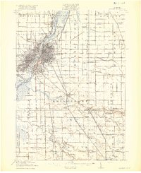 1919 Saginaw1919 Print · USGSSaginaw and its river-based industrial corridor are captured here at a peak of rail and water transport just after the Great War. Genealogists and researchers can locate dozens of country schools like Jewett School, the Whatcheer Mine, and local stops such as Frankenmuth Junction.3 unique versions available
 - 1919 Map of Burt, 1959 Print
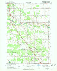
 1919 Burt1959 Print · USGSThe rural landscape between Saginaw and Flint is captured here in the years following the Great War. Genealogists can locate dozens of country schoolhouses like Marr School and Deneen School, or trace the path of the Michigan United Electric Railway.
 - 1921 Map of Burt
 1921 Burt1921 Print · USGSSaginaw and Genesee Counties are captured here at the end of the Great War, showing a landscape of tight-knit farming communities and early electric transit. Researchers can trace family roots through dozens of named sites like St Michaels Church, Marr School, and the Michigan Electric Railway.2 unique versions available
 - 1941 Map of Saginaw, 1958 Print
 1941 Saginaw1958 Print · USGSThe Saginaw River Valley in the early 1940s reveals a bustling network of river-and-rail industry and rural district schools. Genealogists can trace family landmarks like Frankentrost Sta, Birch Run, and the Crow Island Sch.2 unique versions available
 - 1943 Map of Burt
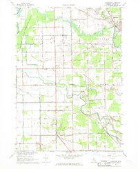
 1943 Burt1943 Print · USGSThe rural borders of Saginaw and Genesee counties come alive in the 1940s as the Flint River winds past growing farm towns. Genealogists and historians can trace dozens of family-named schoolhouses and crossroads, from St Michaels Ch to the rail hubs of Burt and Montrose.
 - 1943 Map of Saginaw
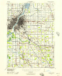
 1943 Saginaw1943 Print · USGSSaginaw and its surrounding river valleys are captured here during the wartime era, showing a landscape defined by heavy rail and branching waterways. Genealogists and historians can locate dozens of country schoolhouses like Frankentrost Sch and Popp Sch alongside rail stops at Fosters and Blackmar.
 - 1954 Map of Flint, 1968 Print
 1954 Flint1968 Print · USGSThe industrial corridor and fertile Thumb region of Michigan come alive in this mid-century survey. Genealogists and historians can trace the rail networks of the Grand Trunk, locate established settlements like Bad Axe and Sandusky, or explore the 1950s shoreline along Saginaw Bay.4 unique versions available
 - 1958 Map of Flint
 1958 Flint1958 Print · USGSThe Michigan Thumb and the Saginaw Valley are captured here during the height of the post-war industrial era. Researchers can trace the complex rail networks of the Grand Trunk Western or locate mid-century landmarks like Lakeport State Park and the port at Bay City.2 unique versions available
 - 1967 Map of Birch Run North, 1968 Print
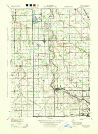
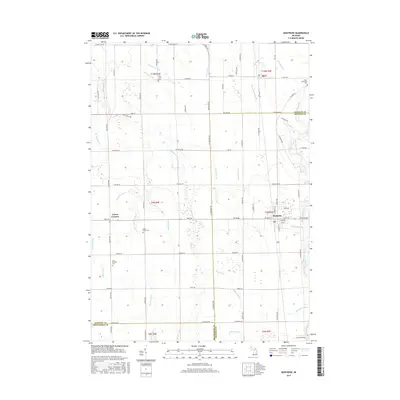
 1967 Birch Run North1968 Print · USGSSaginaw County during the late sixties shows a landscape defined by the Cass River and the rise of the motor age. Genealogists can trace family names along Roedel Road while finding landmarks like St Lorenz Ch and the Dixie Highway Racetrack.2 unique versions available
 - 1967 Map of Bridgeport, 1969 Print
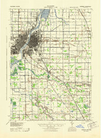
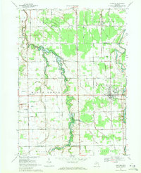
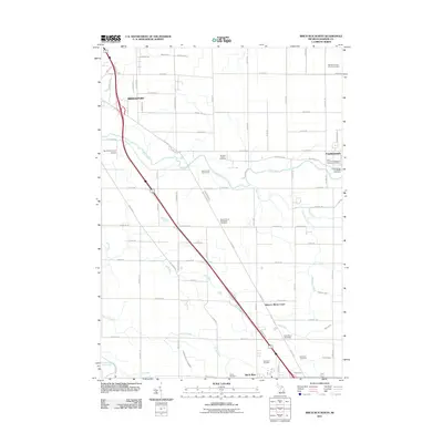
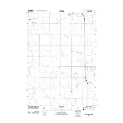
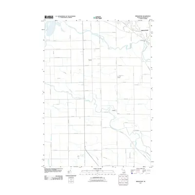
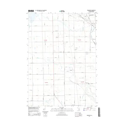
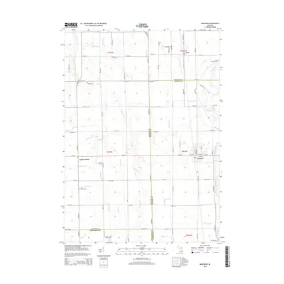
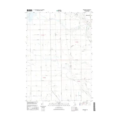
 1967 Bridgeport1969 Print · USGSSaginaw County’s river-bound lowlands are captured here in the late sixties, showing the transition from rural farming to mid-century development. Researchers can trace family roots at Taymouth Cem or locate local landmarks like White Sch and the Radio Towers (WKNX).2 unique versions available
 - 1969 Map of Montrose, 1971 Print
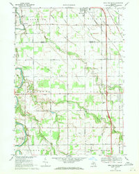
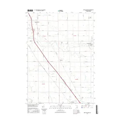
 1969 Montrose1971 Print · USGSThe agricultural borderlands of Saginaw and Genesee counties are captured here in the late sixties as traditional farming life centered around the Grand Trunk Western rail line. Researchers can trace family-named sites like Layton Corners, Indian Cem, and Cook Chapel.2 unique versions available
 - 1969 Map of Birch Run South, 1971 Print
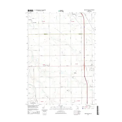
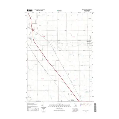
 1969 Birch Run South1971 Print · USGSThe rural borders of Saginaw and Genesee counties come into focus in the late sixties as agricultural lands meet growing townships. Researchers can trace family history through landmarks like Indian Cem, Taymouth Ch, and the Edgerton Sch near the Flint River.2 unique versions available
 - 1984 Map of Flint, 1985 Print
 1984 Flint1985 Print · USGSThe industrial corridor between Flint and Saginaw is captured here during the mid-1980s, showcasing a landscape of growing suburbs and preserved wildlands. Researchers can trace the Grand Trunk Western RR or locate local landmarks like St Johns Ch and Flint Memorial Park Cem.
 - 1990 Map of Flint, 1991 Print
 1990 Flint1991 Print · USGSThe Flint and Saginaw corridors are captured here in the early nineties, showing a landscape defined by heavy industry and rural expanses. Genealogists and historians can trace the rail lines of the Penn Central RR, visit Flint Memorial Park Cem, or explore the limits of Zilwaukee.
 - 2011 Map of Birch Run North, 2011 Print
 2011 Birch Run North2011 Print · USGSCovers Taymouth Township, including City of Frankenmuth, Birch Run, and other nearby areas
 - 2011 Map of Montrose, 2011 Print
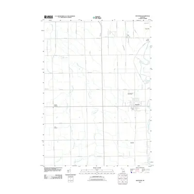 2011 Montrose2011 Print · USGSCovers Taymouth Township, including Montrose, Hazelton Township, and other nearby areas
 - 2011 Map of Birch Run South, 2011 Print
 2011 Birch Run South2011 Print · USGSCovers Taymouth Township, including Taymouth, Clio, and other nearby areas
 - 2011 Map of Bridgeport, 2011 Print
 2011 Bridgeport2011 Print · USGSCovers Taymouth Township, including Bridgeport Charter Township, Albee Township, and other nearby areas
 - 2014 Map of Bridgeport, 2014 Print
 2014 Bridgeport2014 Print · USGSCovers Taymouth Township, including Bridgeport Charter Township, Albee Township, and other nearby areas
 - 2014 Map of Birch Run South, 2014 Print
 2014 Birch Run South2014 Print · USGSCovers Taymouth Township, including Taymouth, Clio, and other nearby areas
 - 2014 Map of Montrose, 2014 Print
 2014 Montrose2014 Print · USGSCovers Taymouth Township, including Montrose, Hazelton Township, and other nearby areas
 - 2014 Map of Birch Run North, 2014 Print
 2014 Birch Run North2014 Print · USGSCovers Taymouth Township, including City of Frankenmuth, Birch Run, and other nearby areas
 - 2017 Map of Bridgeport, 2017 Print
 2017 Bridgeport2017 Print · USGSCovers Taymouth Township, including Bridgeport Charter Township, Albee Township, and other nearby areas
 - 2017 Map of Birch Run North, 2017 Print
 2017 Birch Run North2017 Print · USGSCovers Taymouth Township, including City of Frankenmuth, Birch Run, and other nearby areas
 - 2017 Map of Montrose, 2017 Print
 2017 Montrose2017 Print · USGSCovers Taymouth Township, including Montrose, Hazelton Township, and other nearby areas
Showing maps 1-25 of 34
Top cities near Taymouth Township
- Flint historical maps
- Saginaw historical maps
- Burton historical maps
- Flushing historical maps
- Frankenmuth historical maps
- City of Frankenmuth historical maps
See more
Top neighborhoods of Taymouth Township
Frequently asked questions
- What are the different types of historical maps available for Taymouth Township?
- What is the oldest map of Taymouth Township?
- Where can I purchase historical maps of Taymouth Township for my home or office?
- Where can I download high-res historical maps of Taymouth Township?
- Are there historical topographic maps available for Taymouth Township?
- Is there historical aerial imagery available for Taymouth Township?
- Where are historical maps of Taymouth Township sourced from?