2000s (21st Century) Maps of Tittabawassee Township, Michigan
Explore 20 historic maps of Tittabawassee Township from the 2000s (21st Century). These maps offer a rare glimpse into what life looked like during the 2000s — showing old roads, neighborhoods, homes, and landmarks that have changed or disappeared over time.
Whether you're researching your family's past, planning a metal detecting trip, or studying how Tittabawassee Township's landscape evolved across the 2000s, these high-resolution maps are a powerful tool for exploring the history of this region.
- Focus on a specific era: All maps on this page are from the 2000s, giving you a focused view of this time period.
- See what’s changed: Compare century-old streets, trails, and buildings to today's modern landscape using overlays and satellite layers.
- Research with precision: Use these maps for genealogy, historical research, land use analysis, or educational projects.
- View, download, or print: Maps are fully viewable online in high resolution, and can be downloaded or printed for your own records.
Start exploring Tittabawassee Township's history through authentic maps from the 2000s. This is your window into the past.
Tittabawassee Township, MI maps
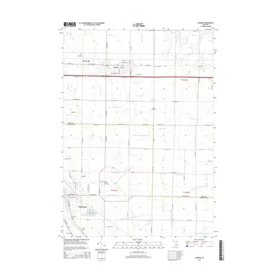
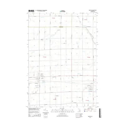
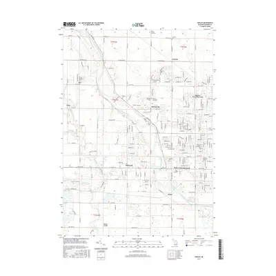
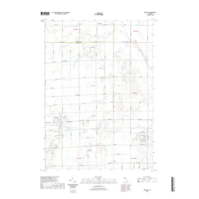
(20)- 2011 Map of Hemlock, 2011 Print
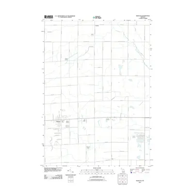 2011 Hemlock2011 Print · USGSCovers Tittabawassee Township, including Hemlock, Fremont Township, and other nearby areas
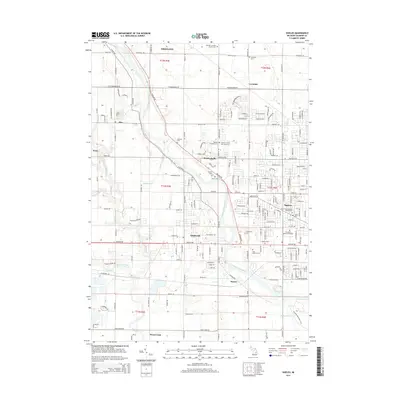
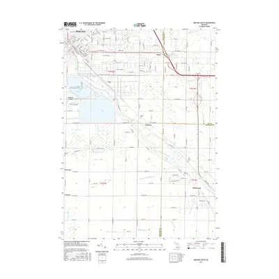
 - 2011 Map of Shields, 2011 Print
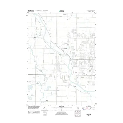 2011 Shields2011 Print · USGSCovers Tittabawassee Township, including Swan Creek, Kochville Township, and other nearby areas
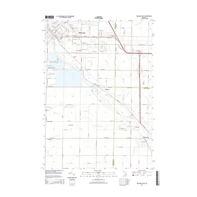
 - 2011 Map of Midland South, 2011 Print
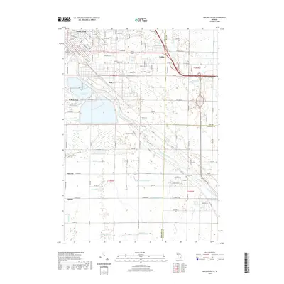
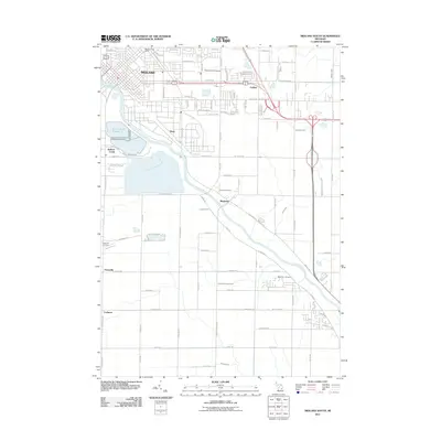 2011 Midland South2011 Print · USGSCovers Tittabawassee Township, including Midland, Midland Charter Township, and other nearby areas
 - 2011 Map of Auburn, 2011 Print
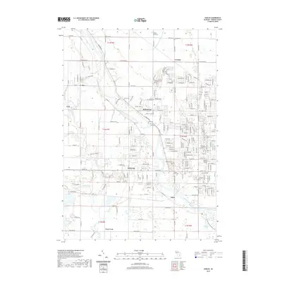
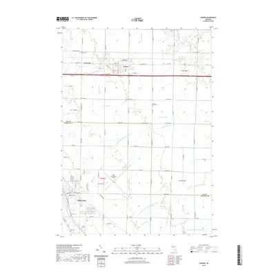
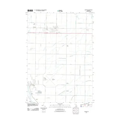 2011 Auburn2011 Print · USGSCovers Tittabawassee Township, including Auburn, Kochville Township, and other nearby areas
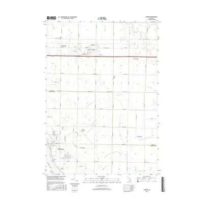
 - 2014 Map of Auburn, 2014 Print
 2014 Auburn2014 Print · USGSCovers Tittabawassee Township, including Auburn, Kochville Township, and other nearby areas
 - 2014 Map of Shields, 2014 Print
 2014 Shields2014 Print · USGSCovers Tittabawassee Township, including Swan Creek, Kochville Township, and other nearby areas
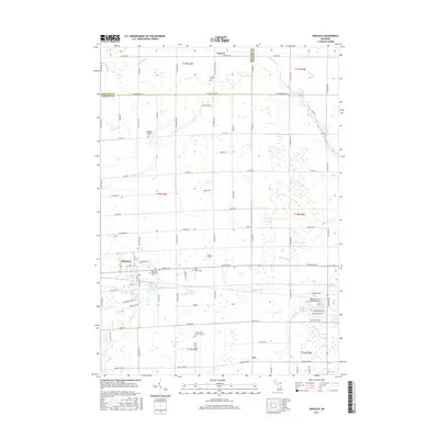
 - 2014 Map of Hemlock, 2014 Print
 2014 Hemlock2014 Print · USGSCovers Tittabawassee Township, including Hemlock, Fremont Township, and other nearby areas
 - 2014 Map of Midland South, 2014 Print
 2014 Midland South2014 Print · USGSCovers Tittabawassee Township, including Midland, Midland Charter Township, and other nearby areas
 - 2017 Map of Shields, 2017 Print
 2017 Shields2017 Print · USGSCovers Tittabawassee Township, including Swan Creek, Kochville Township, and other nearby areas
 - 2017 Map of Midland South, 2017 Print
 2017 Midland South2017 Print · USGSCovers Tittabawassee Township, including Midland, Midland Charter Township, and other nearby areas
 - 2017 Map of Hemlock, 2017 Print
 2017 Hemlock2017 Print · USGSCovers Tittabawassee Township, including Hemlock, Fremont Township, and other nearby areas
 - 2017 Map of Auburn, 2017 Print
 2017 Auburn2017 Print · USGSCovers Tittabawassee Township, including Auburn, Kochville Township, and other nearby areas
 - 2019 Map of Shields, 2019 Print
 2019 Shields2019 Print · USGSCovers Tittabawassee Township, including Swan Creek, Kochville Township, and other nearby areas
 - 2019 Map of Hemlock, 2019 Print
 2019 Hemlock2019 Print · USGSCovers Tittabawassee Township, including Hemlock, Fremont Township, and other nearby areas
 - 2019 Map of Auburn, 2019 Print
 2019 Auburn2019 Print · USGSCovers Tittabawassee Township, including Auburn, Kochville Township, and other nearby areas
 - 2019 Map of Midland South, 2019 Print
 2019 Midland South2019 Print · USGSCovers Tittabawassee Township, including Midland, Midland Charter Township, and other nearby areas
 - 2023 Map of Hemlock, 2023 Print
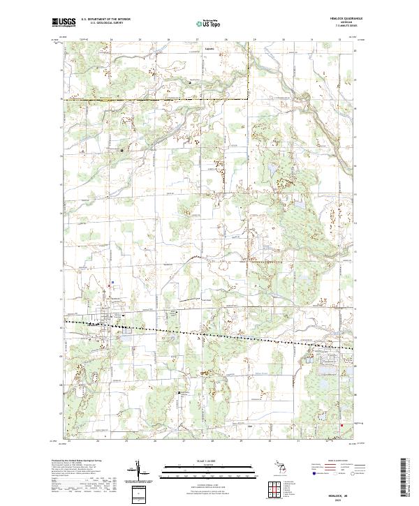 2023 Hemlock2023 Print · USGSSaginaw County rural life is documented here during the early 2020s, showcasing the intricate web of agricultural drainage and small-town centers. Genealogists can locate several historic burial grounds, including Laporte Cem and Richland Lutheran Cem.
 - 2023 Map of Shields, 2023 Print
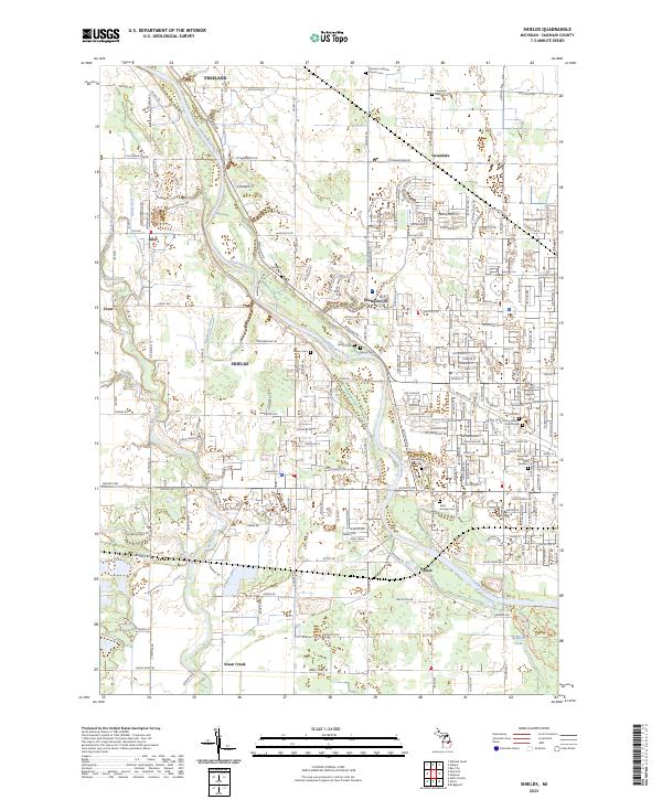 2023 Shields2023 Print · USGSThe Tittabawassee River valley comes into focus in this contemporary survey of central Michigan. Researchers can locate numerous family burial sites such as McCarty Cem, Owen Cem, and Saint Andrew Cem.
 - 2023 Map of Midland South, 2023 Print
 2023 Midland South2023 Print · USGSThe Tittabawassee River valley comes into focus during this contemporary survey of the Midland and Freeland areas. Genealogists can trace family heritage through the Arrance Family Cem and West Side Cem or locate old community hubs like Poseyville and Mapleton.
 - 2023 Map of Auburn, 2023 Print
 2023 Auburn2023 Print · USGSBay and Saginaw counties appear in this detailed survey, showing the region's vital transport and drainage networks at the start of the 2020s. Genealogists can trace numerous local burial sites including Lutheran Home Cem, Chapel Hill Cem, and Jacquith Cem.
End of results
Showing maps 1-20 of 20
Top cities near Tittabawassee Township
- Saginaw historical maps
- Midland historical maps
- Bay City historical maps
- Kawkawlin historical maps
- Kochville historical maps
- Beaver historical maps
See more
Top neighborhoods of Tittabawassee Township
Frequently asked questions
- What are the different types of historical maps available for Tittabawassee Township?
- What is the oldest map of Tittabawassee Township?
- Where can I purchase historical maps of Tittabawassee Township for my home or office?
- Where can I download high-res historical maps of Tittabawassee Township?
- Are there historical topographic maps available for Tittabawassee Township?
- Is there historical aerial imagery available for Tittabawassee Township?
- Where are historical maps of Tittabawassee Township sourced from?