Old Maps of Lynn Township, Michigan
Explore 27 old maps of Lynn Township, spanning from 1954 to today. These high-resolution historic maps reveal how streets, neighborhoods, landmarks, and natural features evolved over time — perfect for genealogy, metal detecting, research, and local history exploration.
What you can do with these maps:
- See how Lynn Township changed over time: Compare historical maps to modern-day views to trace roads, homesites, rail lines & more.
- View detailed metadata: Each map includes creators, publishers, year, scale, and archive source.
- Overlay maps with satellite & LiDAR: Visualize the past alongside modern tools to explore terrain & human change.
- Trusted historical sources: Maps sourced from the USGS, Library of Congress, and other archives.
- Access maps your way: View online, download high-res files, or order prints for personal or research use.
Start exploring old maps of Lynn Township to uncover forgotten places, hidden landmarks, and the deep history beneath your feet.
Lynn Township, MI maps
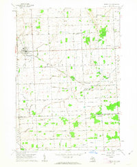
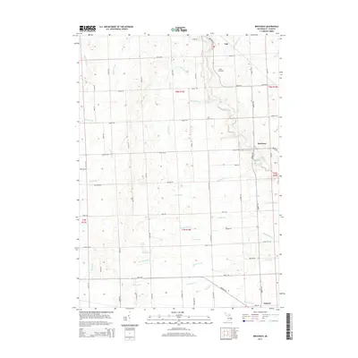
(27)- 1954 Map of Flint, 1968 Print
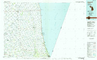
 1954 Flint1968 Print · USGSThe industrial corridor and fertile Thumb region of Michigan come alive in this mid-century survey. Genealogists and historians can trace the rail networks of the Grand Trunk, locate established settlements like Bad Axe and Sandusky, or explore the 1950s shoreline along Saginaw Bay.4 unique versions available
 - 1958 Map of Flint
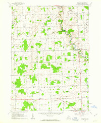
 1958 Flint1958 Print · USGSThe Michigan Thumb and the Saginaw Valley are captured here during the height of the post-war industrial era. Researchers can trace the complex rail networks of the Grand Trunk Western or locate mid-century landmarks like Lakeport State Park and the port at Bay City.2 unique versions available
 - 1961 Map of Brown City, 1963 Print
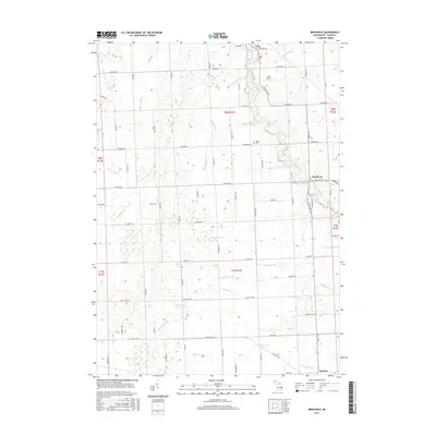
 1961 Brown City1963 Print · USGSThe rural borderlands of Sanilac, Lapeer, and St. Clair counties come alive in this early 1960s survey of the Michigan thumb's farming heartland. Trace the paths of the Chesapeake and Ohio railroad through Brown City or find ancestral sites like Valley Center Cem and Odelville Sch.2 unique versions available
 - 1961 Map of Brockway, 1963 Print
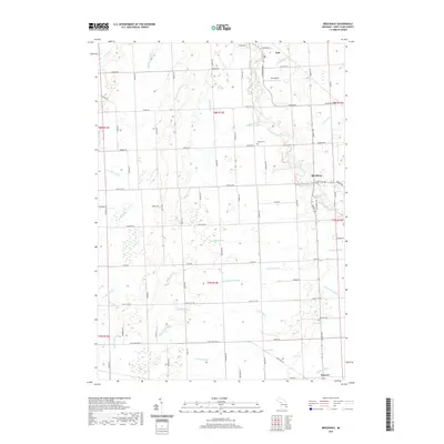
 1961 Brockway1963 Print · USGSSt. Clair County's rural townships are captured here in the early 1960s as a network of agricultural drains and small rail-side settlements. Genealogists can trace property near Yale, find Moore Cem, or locate family landmarks like Cole Ch and Meharg Drain.2 unique versions available
 - 1961 Map of Yale, 1963 Print
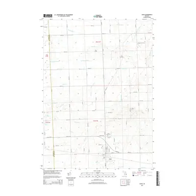
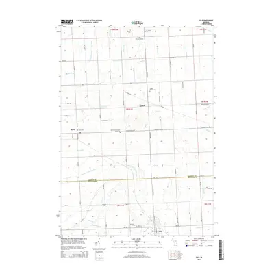
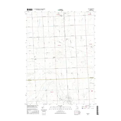
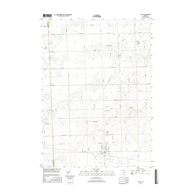
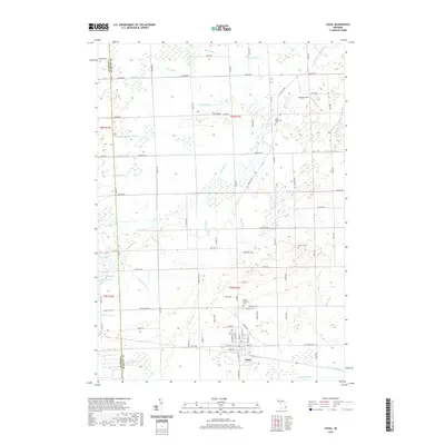
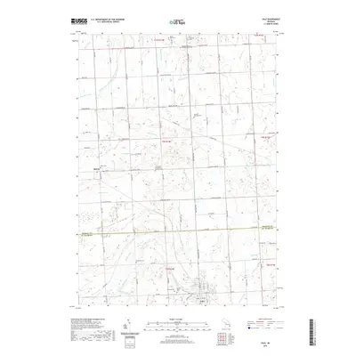
 1961 Yale1963 Print · USGSThe agricultural landscape of St. Clair and Sanilac Counties is captured here in the early sixties, centered on the railroad hub of Yale. Genealogists can locate rural landmarks like Sacred Heart Cem, McFadden Cem, and North School.
 - 1961 Map of Capac, 1963 Print
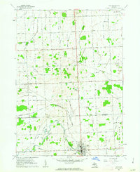
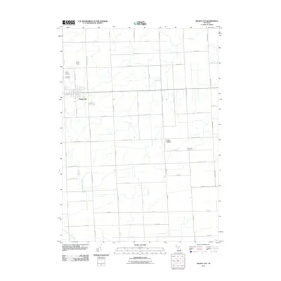
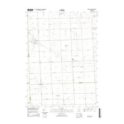
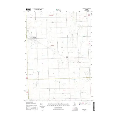
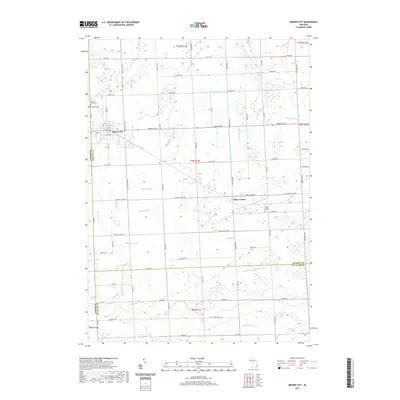
 1961 Capac1963 Print · USGSAgricultural life in St. Clair County during the early sixties centers on the village of Capac and its extensive drainage network. Genealogists can trace local landmarks like Pine Hill Cem, the Lynn Corner Sch, and the Grand Trunk rail line.2 unique versions available
 - 1984 Map of Croswell, 1985 Print
 1984 Croswell1985 Print · USGSThe Michigan Thumb region and the Lake Huron shoreline appear here in the mid-1980s, showcasing a landscape of drainage-fed farmland and coastal retreats. Researchers can trace the Chesapeake rail route and explore shoreline communities from Lexington Heights to Keewahdin.2 unique versions available
 - 2011 Map of Capac, 2011 Print
 2011 Capac2011 Print · USGSCovers Lynn Township, including Capac, Goodland Township, and other nearby areas
 - 2011 Map of Brockway, 2011 Print
 2011 Brockway2011 Print · USGSCovers Lynn Township, including Brockway, Yale, and other nearby areas
 - 2011 Map of Yale, 2011 Print
 2011 Yale2011 Print · USGSCovers Lynn Township, including Yale, Speaker, and other nearby areas
 - 2011 Map of Brown City, 2011 Print
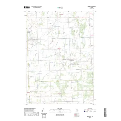
 2011 Brown City2011 Print · USGSCovers Lynn Township, including Brown City, Goodland Township, and other nearby areas
 - 2014 Map of Brown City, 2014 Print
 2014 Brown City2014 Print · USGSCovers Lynn Township, including Brown City, Goodland Township, and other nearby areas
 - 2014 Map of Capac, 2014 Print
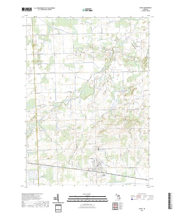
 2014 Capac2014 Print · USGSCovers Lynn Township, including Capac, Goodland Township, and other nearby areas
 - 2014 Map of Yale, 2014 Print
 2014 Yale2014 Print · USGSCovers Lynn Township, including Yale, Speaker, and other nearby areas
 - 2014 Map of Brockway, 2014 Print
 2014 Brockway2014 Print · USGSCovers Lynn Township, including Brockway, Yale, and other nearby areas
 - 2017 Map of Yale, 2017 Print
 2017 Yale2017 Print · USGSCovers Lynn Township, including Yale, Speaker, and other nearby areas
 - 2017 Map of Capac, 2017 Print
 2017 Capac2017 Print · USGSCovers Lynn Township, including Capac, Goodland Township, and other nearby areas
 - 2017 Map of Brown City, 2017 Print
 2017 Brown City2017 Print · USGSCovers Lynn Township, including Brown City, Goodland Township, and other nearby areas
 - 2017 Map of Brockway, 2017 Print
 2017 Brockway2017 Print · USGSCovers Lynn Township, including Brockway, Yale, and other nearby areas
 - 2019 Map of Capac, 2019 Print
 2019 Capac2019 Print · USGSCovers Lynn Township, including Capac, Goodland Township, and other nearby areas
 - 2019 Map of Brockway, 2019 Print
 2019 Brockway2019 Print · USGSCovers Lynn Township, including Brockway, Yale, and other nearby areas
 - 2019 Map of Yale, 2019 Print
 2019 Yale2019 Print · USGSCovers Lynn Township, including Yale, Speaker, and other nearby areas
 - 2019 Map of Brown City, 2019 Print
 2019 Brown City2019 Print · USGSCovers Lynn Township, including Brown City, Goodland Township, and other nearby areas
 - 2023 Map of Capac, 2023 Print
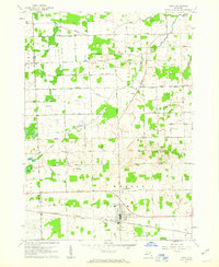
 2023 Capac2023 Print · USGSCapac and the surrounding townships of St. Clair County are shown in this contemporary topographical survey. Researchers can locate family landmarks like Gavagan Field or trace lineages through the Mussey Township Cem, Pine Hill Cem, and United Brethren Cem.
 - 2023 Map of Brown City, 2023 Print
 2023 Brown City2023 Print · USGSThe borderlands of Sanilac and St. Clair counties are shown here in the 2020s, dominated by a vast agricultural drainage network. Researchers can pinpoint Evergreen Cem, Valley Center Cem, and the small community of Valley Center.
Showing maps 1-25 of 27
Top cities near Lynn Township
- Addison Township historical maps
- Columbus Township historical maps
- Imlay City historical maps
- Almont historical maps
- Burnside historical maps
- Capac historical maps
See more
Frequently asked questions
- What are the different types of historical maps available for Lynn Township?
- What is the oldest map of Lynn Township?
- Where can I purchase historical maps of Lynn Township for my home or office?
- Where can I download high-res historical maps of Lynn Township?
- Are there historical topographic maps available for Lynn Township?
- Is there historical aerial imagery available for Lynn Township?
- Where are historical maps of Lynn Township sourced from?