2000s (21st Century) Maps of White Pigeon Township, Michigan
Explore 10 historic maps of White Pigeon Township from the 2000s (21st Century). These maps offer a rare glimpse into what life looked like during the 2000s — showing old roads, neighborhoods, homes, and landmarks that have changed or disappeared over time.
Whether you're researching your family's past, planning a metal detecting trip, or studying how White Pigeon Township's landscape evolved across the 2000s, these high-resolution maps are a powerful tool for exploring the history of this region.
- Focus on a specific era: All maps on this page are from the 2000s, giving you a focused view of this time period.
- See what’s changed: Compare century-old streets, trails, and buildings to today's modern landscape using overlays and satellite layers.
- Research with precision: Use these maps for genealogy, historical research, land use analysis, or educational projects.
- View, download, or print: Maps are fully viewable online in high resolution, and can be downloaded or printed for your own records.
Start exploring White Pigeon Township's history through authentic maps from the 2000s. This is your window into the past.
White Pigeon Township, MI maps
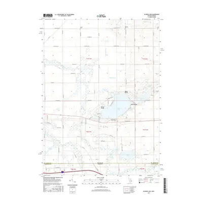
(10)- 2011 Map of Klinger Lake, 2011 Print
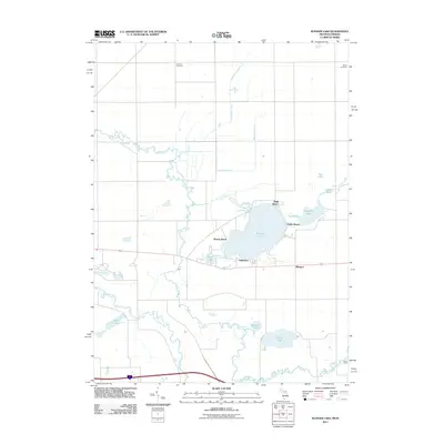 2011 Klinger Lake2011 Print · USGSCovers White Pigeon Township, including Bluff Beach, Breezy Beach, and other nearby areas
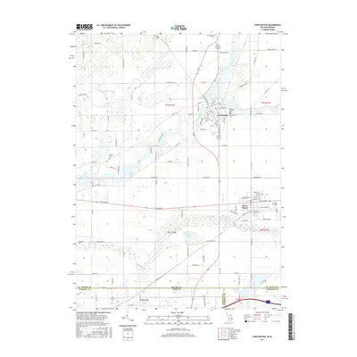
 - 2011 Map of Constantine, 2011 Print
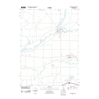 2011 Constantine2011 Print · USGSCovers White Pigeon Township, including Constantine, White Pigeon, and other nearby areas
 - 2014 Map of Klinger Lake, 2014 Print
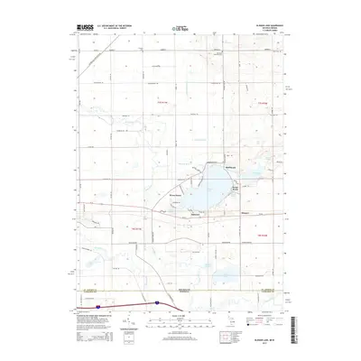 2014 Klinger Lake2014 Print · USGSCovers White Pigeon Township, including Bluff Beach, Breezy Beach, and other nearby areas
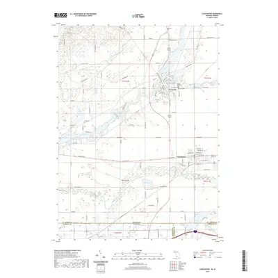
 - 2014 Map of Constantine, 2014 Print
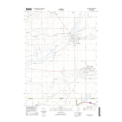 2014 Constantine2014 Print · USGSCovers White Pigeon Township, including Constantine, White Pigeon, and other nearby areas
 - 2017 Map of Klinger Lake, 2017 Print
 2017 Klinger Lake2017 Print · USGSCovers White Pigeon Township, including Bluff Beach, Breezy Beach, and other nearby areas
 - 2017 Map of Constantine, 2017 Print
 2017 Constantine2017 Print · USGSCovers White Pigeon Township, including Constantine, White Pigeon, and other nearby areas
 - 2019 Map of Constantine, 2019 Print
 2019 Constantine2019 Print · USGSCovers White Pigeon Township, including Constantine, White Pigeon, and other nearby areas
 - 2019 Map of Klinger Lake, 2019 Print
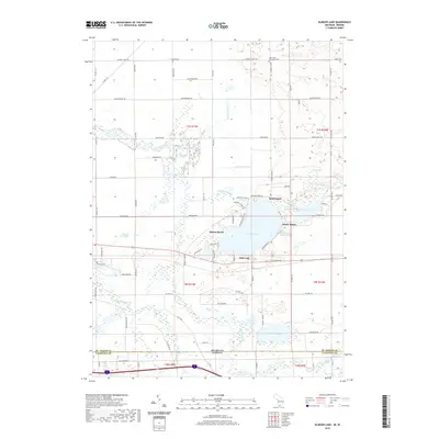 2019 Klinger Lake2019 Print · USGSCovers White Pigeon Township, including Bluff Beach, Breezy Beach, and other nearby areas
 - 2023 Map of Constantine, 2023 Print
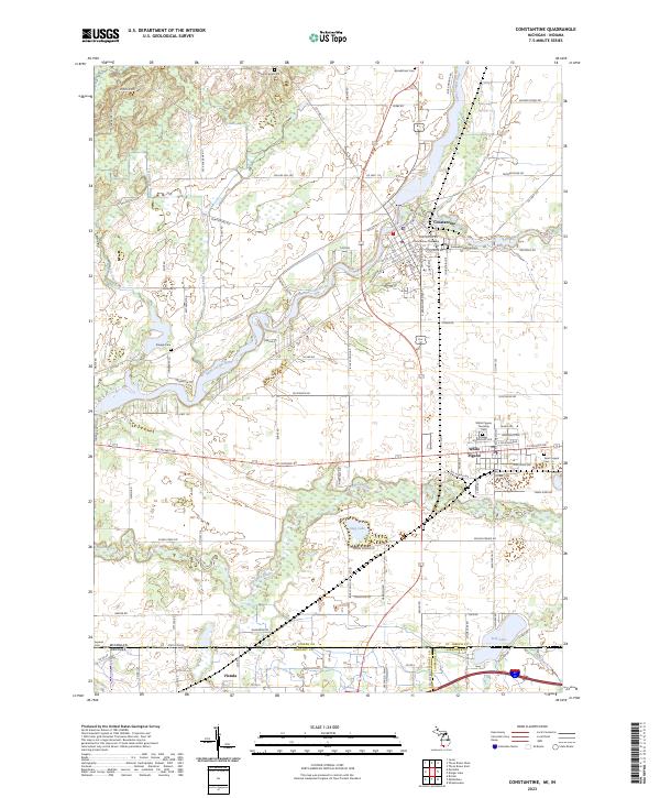 2023 Constantine2023 Print · USGSThe Saint Joseph River valley in St. Joseph County comes to life in this recent survey of the Michigan-Indiana borderlands. Genealogists and local historians can trace family roots through numerous sites like Pioneer Memorial Cem, Aurand Cem, and the streets of White Pigeon.
 - 2023 Map of Klinger Lake, 2023 Print
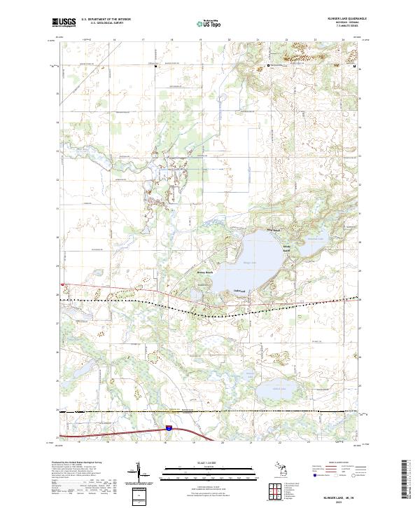 2023 Klinger Lake2023 Print · USGSThe Michigan-Indiana state line divides this lake-country landscape as it appeared in the early 2020s. Local researchers can trace the developed shorelines of Bluff Beach and Oakwood or locate family burial sites at Oak Grove Mennonite Cem and Calhoun Cem.
End of results
Showing maps 1-10 of 10
Top cities near White Pigeon Township
- Goshen historical maps
- Sturgis historical maps
- Three Rivers historical maps
- Nottawa historical maps
- Fabius historical maps
- Middlebury historical maps
See more
Top neighborhoods of White Pigeon Township
- Klingers historical maps
- Oakwood historical maps
- Bluff Beach historical maps
- Breezy Beach historical maps
- Sandy Beach historical maps
- White Pigeon historical maps
Frequently asked questions
- What are the different types of historical maps available for White Pigeon Township?
- What is the oldest map of White Pigeon Township?
- Where can I purchase historical maps of White Pigeon Township for my home or office?
- Where can I download high-res historical maps of White Pigeon Township?
- Are there historical topographic maps available for White Pigeon Township?
- Is there historical aerial imagery available for White Pigeon Township?
- Where are historical maps of White Pigeon Township sourced from?