Old Maps of Bancroft, Shiawassee Township for Genealogy
Trace your family roots with 19 historic maps of Bancroft. These high-res maps reveal old neighborhoods, homesites, landmarks, and streets — helping you uncover where your ancestors lived and how the area evolved over time.
- Explore historic neighborhoods: Identify where your relatives may have lived in the 1800s or 1900s.
- Compare maps over time: Trace the changes in streets, buildings, and landmarks for multi-generational research.
- Perfect for genealogy & ancestry research: Used by family historians and researchers to map out lineage and migration.
These maps are an incredible resource for exploring your personal connection to Bancroft's past.
Bancroft, Shiawassee Township maps
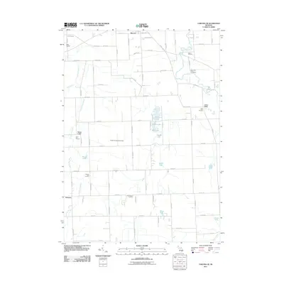
(19)- 1926 Map of Corunna, 1958 Print
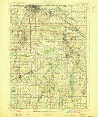
 1926 Corunna1958 Print · USGSShiawassee County in the mid-twenties shows a landscape of busy rail junctions and productive farmland. Genealogists can trace family roots through numerous rural schools like Eddy Sch and settlements including Bancroft and Shiawasseetown.2 unique versions available
 - 1929 Map of Corunna
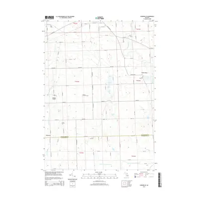
 1929 Corunna1929 Print · USGSShiawassee County thrives as a rail and industrial hub during the late twenties, centered on the growing cities of Owosso and Corunna. Genealogists can trace family roots through dozens of rural landmarks like Bennington No 1 School, Shiawasseetown, and the Electric Railway route.3 unique versions available
 - 1944 Map of Corunna
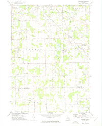
 1944 Corunna1944 Print · USGSMid-Michigan farming and industry converge in the 1940s as major rail lines like the Ann Arbor and Grand Trunk link the countryside. Researchers can trace dozens of rural school sites, from Octagon Sch to Hawkins Sch, alongside the waters of the Shiawassee River.
 - 1958 Map of Grand Rapids, 1973 Print
 1958 Grand Rapids1973 Print · USGSSouthern Michigan at the peak of the postwar era shows a landscape of burgeoning cities and new interstate highways. Trace family roots and regional growth in Grand Rapids, Battle Creek, and the glacial lake country around Gun Lake or Gull Lake.2 unique versions available
 - 1961 Map of Grand Rapids
 1961 Grand Rapids1961 Print · USGSSouthern Michigan at the dawn of the 1960s reveals a region shaped by major river systems and a robust rail network. Trace mid-century industrial growth and land use from Grand Rapids to the Fort Custer Military Reservation and Gun Lake.
 - 1962 Map of Grand Rapids
 1962 Grand Rapids1962 Print · USGSMid-century Southern Michigan is mapped here at a time of massive growth, showing the expanding urban footprints of Grand Rapids and Lansing. Researchers can trace the legacy of the Grand Trunk Western RR, find historic boundaries of the Fort Custer Military Reservation, or locate sporting camps around Gun Lake.2 unique versions available
 - 1972 Map of Corunna SE, 1975 Print
 1972 Corunna SE1975 Print · USGSSoutheastern Shiawassee County is captured here in the early seventies, showing a landscape of small agricultural settlements and winding river valleys. Family historians can trace the locations of the Gaylord Cem, the community at Antrim Center, and the rural Antrim Ch.
 - 1972 Map of Corunna, 1975 Print
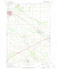 1972 Corunna1975 Print · USGSShiawassee County's river-valley settlements and rail corridors are captured in detail in the early 1970s. Researchers can trace the legacy of coal mining at the Strip Mine or locate family roots at rural sites like Hawkins Cem and Shiawasseetown.
 - 1983 Map of Lansing, 1984 Print
 1983 Lansing1984 Print · USGSThe Lansing area and its surrounding river valleys are captured here in the early eighties. Genealogists and historians can trace the rail corridors of the Conrail or locate local landmarks like St Johns Ch and Greenwood Cem.
 - 2011 Map of Corunna, 2011 Print
 2011 Corunna2011 Print · USGSCovers Bancroft, including Durand, Corunna, and other nearby areas
 - 2011 Map of Corunna SE, 2011 Print
 2011 Corunna SE2011 Print · USGSCovers Bancroft, including Conway Township, Cohoctah Township, and other nearby areas
 - 2014 Map of Corunna SE, 2014 Print
 2014 Corunna SE2014 Print · USGSCovers Bancroft, including Conway Township, Cohoctah Township, and other nearby areas
 - 2014 Map of Corunna, 2014 Print
 2014 Corunna2014 Print · USGSCovers Bancroft, including Durand, Corunna, and other nearby areas
 - 2017 Map of Corunna, 2017 Print
 2017 Corunna2017 Print · USGSCovers Bancroft, including Durand, Corunna, and other nearby areas
 - 2017 Map of Corunna SE, 2017 Print
 2017 Corunna SE2017 Print · USGSCovers Bancroft, including Conway Township, Cohoctah Township, and other nearby areas
 - 2019 Map of Corunna SE, 2019 Print
 2019 Corunna SE2019 Print · USGSCovers Bancroft, including Conway Township, Cohoctah Township, and other nearby areas
 - 2019 Map of Corunna, 2019 Print
 2019 Corunna2019 Print · USGSCovers Bancroft, including Durand, Corunna, and other nearby areas
 - 2023 Map of Corunna SE, 2023 Print
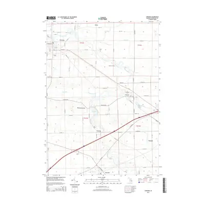
 2023 Corunna SE2023 Print · USGSShiawassee and Livingston Counties are captured in this recent survey, showing the rural landscape surrounding Bancroft and Antrim Center. Researchers can locate several historic burial sites, including the Union Plains Cemetery and Scribner Road Cemetery, alongside landmarks like Pingston Aeroworks Airport.
 - 2023 Map of Corunna, 2023 Print
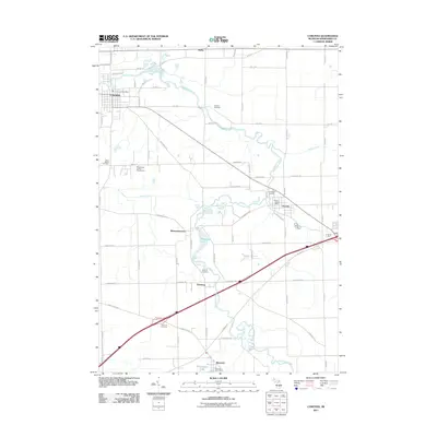
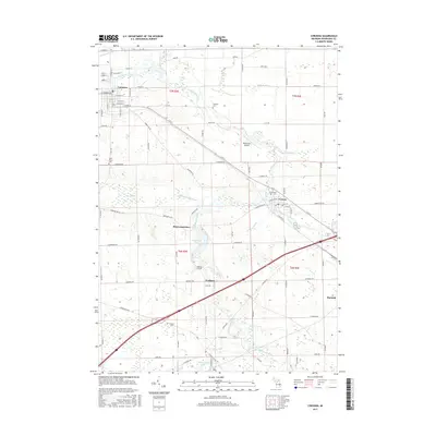
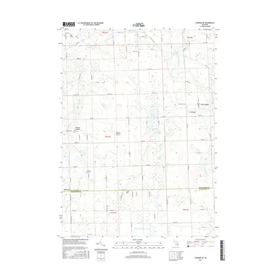
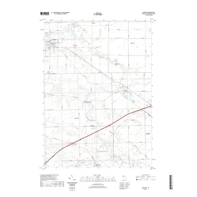
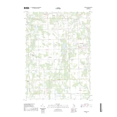
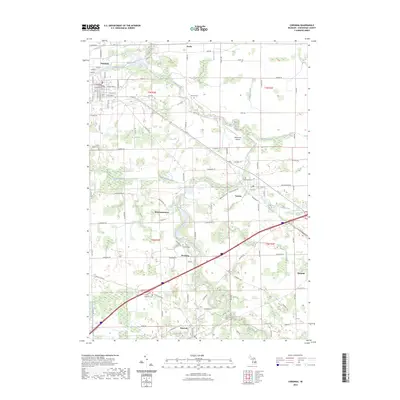 2023 Corunna2023 Print · USGSShiawassee County in the early 2020s remains a landscape shaped by its river systems and historic town centers. Researchers can trace family sites at Greenwood Cem or Fremont Cem while following the path of the Great Lakes Central RR through Bancroft and Vernon.
End of results
Showing maps 1-19 of 19
Top cities near Bancroft
- Owosso historical maps
- Oceola Township historical maps
- Flushing historical maps
- Handy Township historical maps
- Argentine historical maps
- Howell Township historical maps
See more
Frequently asked questions
- What are the different types of historical maps available for Bancroft?
- What is the oldest map of Bancroft?
- Where can I purchase historical maps of Bancroft for my home or office?
- Where can I download high-res historical maps of Bancroft?
- Are there historical topographic maps available for Bancroft?
- Is there historical aerial imagery available for Bancroft?
- Where are historical maps of Bancroft sourced from?