2000s (21st Century) Maps of Vassar, Michigan
Explore 10 historic maps of Vassar from the 2000s (21st Century). These maps offer a rare glimpse into what life looked like during the 2000s — showing old roads, neighborhoods, homes, and landmarks that have changed or disappeared over time.
Whether you're researching your family's past, planning a metal detecting trip, or studying how Vassar's landscape evolved across the 2000s, these high-resolution maps are a powerful tool for exploring the history of this region.
- Focus on a specific era: All maps on this page are from the 2000s, giving you a focused view of this time period.
- See what’s changed: Compare century-old streets, trails, and buildings to today's modern landscape using overlays and satellite layers.
- Research with precision: Use these maps for genealogy, historical research, land use analysis, or educational projects.
- View, download, or print: Maps are fully viewable online in high resolution, and can be downloaded or printed for your own records.
Start exploring Vassar's history through authentic maps from the 2000s. This is your window into the past.
Vassar, MI maps
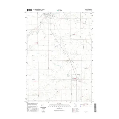
(10)- 2011 Map of Vassar, 2011 Print
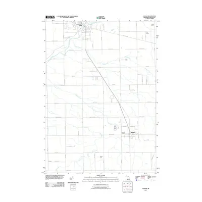 2011 Vassar2011 Print · USGSCovers Vassar, including Millington, Tuscola Township, and other nearby areas
 - 2011 Map of Gilford, 2011 Print
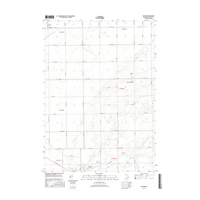
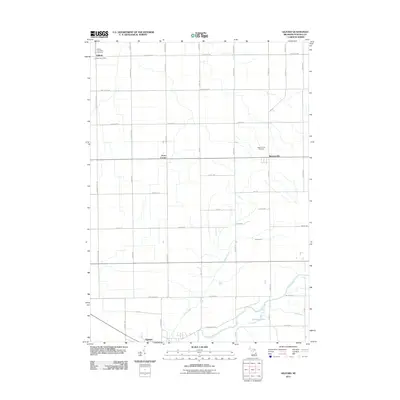 2011 Gilford2011 Print · USGSCovers Vassar, including Gilford, Gilford Township, and other nearby areas
 - 2014 Map of Gilford, 2014 Print
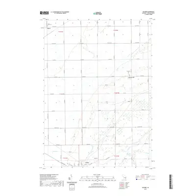
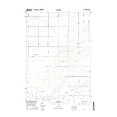 2014 Gilford2014 Print · USGSCovers Vassar, including Gilford, Gilford Township, and other nearby areas
 - 2014 Map of Vassar, 2014 Print
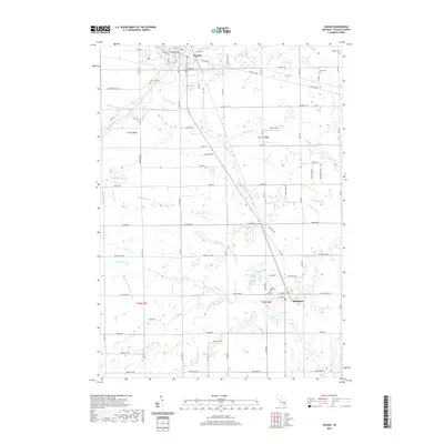
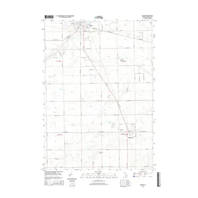 2014 Vassar2014 Print · USGSCovers Vassar, including Millington, Tuscola Township, and other nearby areas
 - 2017 Map of Vassar, 2017 Print
 2017 Vassar2017 Print · USGSCovers Vassar, including Millington, Tuscola Township, and other nearby areas
 - 2017 Map of Gilford, 2017 Print
 2017 Gilford2017 Print · USGSCovers Vassar, including Gilford, Gilford Township, and other nearby areas
 - 2019 Map of Vassar, 2019 Print
 2019 Vassar2019 Print · USGSCovers Vassar, including Millington, Tuscola Township, and other nearby areas
 - 2019 Map of Gilford, 2019 Print
 2019 Gilford2019 Print · USGSCovers Vassar, including Gilford, Gilford Township, and other nearby areas
 - 2023 Map of Vassar, 2023 Print
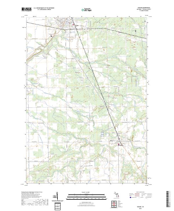 2023 Vassar2023 Print · USGSModern-day Vassar and Millington are documented in this contemporary survey of the Tuscola County landscape. Family historians can pinpoint Riverside Cem, Fuller Cem, and Millington Cem or trace the course of the Cass River and Millington Creek.
 - 2023 Map of Gilford, 2023 Print
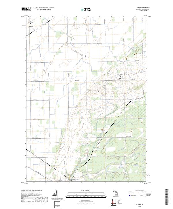 2023 Gilford2023 Print · USGSTuscola County farmlands and the Cass River valley are shown here in the early 2020s as the regional agricultural landscape continues to thrive. Researchers can locate ancestral resting places at Gilford Township Cem and trace the complex drainage systems like Moore Drain that define this Michigan thumb-region interior.
End of results
Showing maps 1-10 of 10
Top cities near Vassar
- Frankenmuth historical maps
- City of Frankenmuth historical maps
- Caro historical maps
- Clio historical maps
- Tuscola historical maps
- Juniata historical maps
See more
Frequently asked questions
- What are the different types of historical maps available for Vassar?
- What is the oldest map of Vassar?
- Where can I purchase historical maps of Vassar for my home or office?
- Where can I download high-res historical maps of Vassar?
- Are there historical topographic maps available for Vassar?
- Is there historical aerial imagery available for Vassar?
- Where are historical maps of Vassar sourced from?