Old Maps of Antwerp Township, Michigan
Explore 18 old maps of Antwerp Township, spanning from 1944 to today. These high-resolution historic maps reveal how streets, neighborhoods, landmarks, and natural features evolved over time — perfect for genealogy, metal detecting, research, and local history exploration.
What you can do with these maps:
- See how Antwerp Township changed over time: Compare historical maps to modern-day views to trace roads, homesites, rail lines & more.
- View detailed metadata: Each map includes creators, publishers, year, scale, and archive source.
- Overlay maps with satellite & LiDAR: Visualize the past alongside modern tools to explore terrain & human change.
- Trusted historical sources: Maps sourced from the USGS, Library of Congress, and other archives.
- Access maps your way: View online, download high-res files, or order prints for personal or research use.
Start exploring old maps of Antwerp Township to uncover forgotten places, hidden landmarks, and the deep history beneath your feet.
Antwerp Township, MI maps
(18)- 1944 Map of Marcellus, 1965 Print
 1944 Marcellus1965 Print · USGSSouthwest Michigan townships in Van Buren and Cass counties are documented here during the mid-1940s as a landscape of interconnected glacial lakes and rail lines. Researchers can trace old rural schools like Durkee Sch, the Pere Marquette rail corridor, and family burial grounds such as Wildey Cem.3 unique versions available
 - 1946 Map of Marcellus
 1946 Marcellus1946 Print · USGSThe rural landscape of Cass and Van Buren counties comes alive in the mid-1940s, showing a transition between railroad hubs and quiet farming hamlets. Genealogists can locate family-named landmarks such as Chamberlain Cem and historic schools like Porter Center Sch or Shannon Sch.2 unique versions available
 - 1958 Map of Grand Rapids, 1973 Print
 1958 Grand Rapids1973 Print · USGSSouthern Michigan at the peak of the postwar era shows a landscape of burgeoning cities and new interstate highways. Trace family roots and regional growth in Grand Rapids, Battle Creek, and the glacial lake country around Gun Lake or Gull Lake.2 unique versions available
 - 1961 Map of Grand Rapids
 1961 Grand Rapids1961 Print · USGSSouthern Michigan at the dawn of the 1960s reveals a region shaped by major river systems and a robust rail network. Trace mid-century industrial growth and land use from Grand Rapids to the Fort Custer Military Reservation and Gun Lake.
 - 1962 Map of Grand Rapids
 1962 Grand Rapids1962 Print · USGSMid-century Southern Michigan is mapped here at a time of massive growth, showing the expanding urban footprints of Grand Rapids and Lansing. Researchers can trace the legacy of the Grand Trunk Western RR, find historic boundaries of the Fort Custer Military Reservation, or locate sporting camps around Gun Lake.2 unique versions available
 - 1981 Map of Paw Paw, 1982 Print
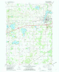 1981 Paw Paw1982 Print · USGSPaw Paw and its surrounding township are captured in the early eighties as the village expanded near the river and rail lines. Local historians can trace family roots at Prospect Hill Cemetery or locate old landmarks like the Cedar Street Sch and Maple Isle.
 - 1981 Map of Lawton, 1982 Print
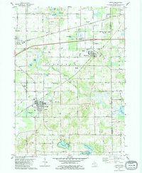 1981 Lawton1982 Print · USGSIn the early eighties, this pocket of Van Buren County thrived on its rail-linked villages and diverse agricultural landscape. Researchers can trace family history through sites like Oak Grove Cem and Harwick Cem or locate the old Amtrak corridor and Mattawan Airpark.
 - 1982 Map of Kalamazoo, 1983 Print
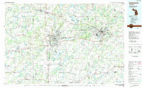 1982 Kalamazoo1983 Print · USGSThe Kalamazoo River valley in the early eighties shows a landscape of growing suburban centers and heavy rail infrastructure. Genealogists and researchers can trace the limits of Kalamazoo and Battle Creek or locate landmarks like Fort Custer National Cemetery and Gull Lake.
 - 2011 Map of Lawton, 2011 Print
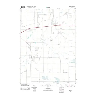 2011 Lawton2011 Print · USGSVan Buren County's agricultural heartland is captured here in the early twenty-first century, centered on the villages of Lawton and Mattawan. Researchers can trace local heritage through numerous sites like Chamberlin Cemetery, the Mattawan Airpark, and the Lawton Post Office.
 - 2011 Map of Paw Paw, 2011 Print
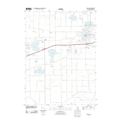 2011 Paw Paw2011 Print · USGSThe village of Paw Paw and its surrounding lake-dotted township are documented here during the early twenty-first century. Genealogists and historians can trace numerous family and community landmarks, from Pioneer Cemetery and Wildey Cemetery to the shores of Maple Lake and Lake Cora.
 - 2014 Map of Lawton, 2014 Print
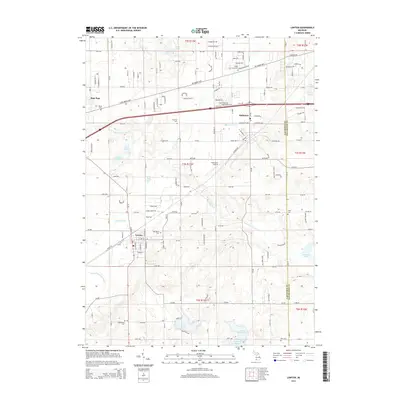 2014 Lawton2014 Print · USGSVan Buren County is shown here in the early 2010s, capturing the established villages of Lawton and Mattawan amidst a landscape of glacial lakes. Local historians can trace dozens of family landmarks and cemeteries like Bangs Cem and Harwick Cem near the E Br Paw Paw River.
 - 2014 Map of Paw Paw, 2014 Print
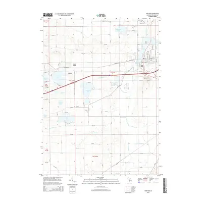 2014 Paw Paw2014 Print · USGSPaw Paw and its surrounding lakes are documented here in the early twenty-first century, showcasing the village at the junction of the river's east and south branches. Genealogists can trace family locations near several burial grounds including Threemile Cem, Wildey Cem, and Prospect Hill Cem.
 - 2017 Map of Lawton, 2017 Print
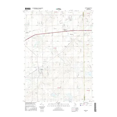 2017 Lawton2017 Print · USGSThe villages of Lawton, Mattawan, and Paw Paw appear here in the modern era, amidst a landscape of orchards and glacial lakes. Researchers can locate numerous family burial sites, including Bangs Cem and Kern Cem, or trace the course of the E Br Paw Paw River.
 - 2017 Map of Paw Paw, 2017 Print
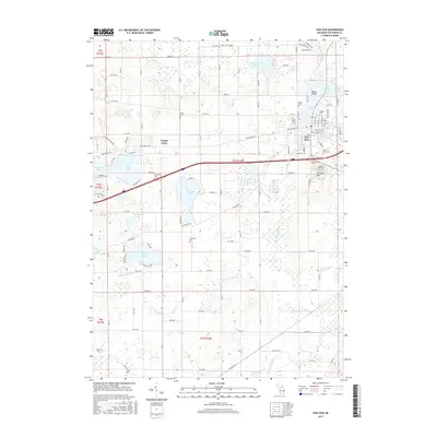 2017 Paw Paw2017 Print · USGSPaw Paw and its surrounding lake country are shown here in the late twenty-tens, centered on the confluence of the S Br Paw Paw River and Maple Lake. Family historians can locate several local burial sites including Pioneer Cem, Prospect Hill Cem, and Wildey Cem.
 - 2019 Map of Paw Paw, 2019 Print
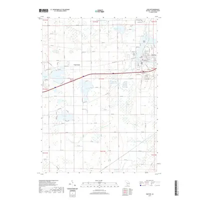 2019 Paw Paw2019 Print · USGSThe village of Paw Paw and the surrounding township are documented here in 2019, showing a landscape defined by glacial lakes and established farm grids. Genealogists can locate family burial sites at Pioneer Cem, Wildey Cem, and Saint Marys Cem near the Van Buren County Courthouse.
 - 2019 Map of Lawton, 2019 Print
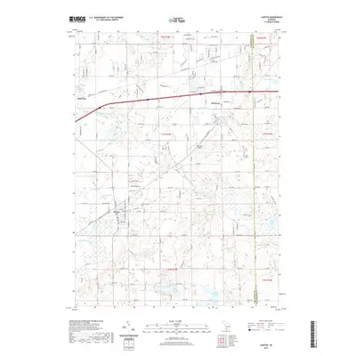 2019 Lawton2019 Print · USGSVan Buren County's lake-dotted landscape is captured here in the late twenty-teens, showing the established communities of Lawton and Mattawan. Researchers can trace local heritage through several burial grounds like Oak Grove Cem and Harwick Cem or locate the Mattawan Airpark.
 - 2023 Map of Paw Paw, 2023 Print
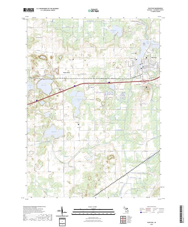 2023 Paw Paw2023 Print · USGSThe village of Paw Paw is captured here in the early twenty-first century as the civic heart of Van Buren County. Genealogists and local historians can locate the Van Buren County Courthouse and several historic burial grounds including Pioneer Cem and Prospect Hill Cem.
 - 2023 Map of Lawton, 2023 Print
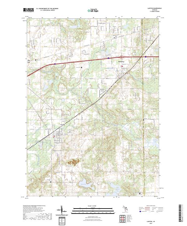 2023 Lawton2023 Print · USGSThe village of Lawton and the surrounding Van Buren County wetlands appear in high detail during this contemporary era. Local researchers can trace family plots across numerous sites like Maple Grove Cem or follow the Lawton Drain to the river forks.
End of results
Showing maps 1-18 of 18
Top cities near Antwerp Township
- Kalamazoo historical maps
- Portage historical maps
- Almena historical maps
- Alamo historical maps
- Paw Paw historical maps
- Pine Grove historical maps
See more
Top neighborhoods of Antwerp Township
Frequently asked questions
- What are the different types of historical maps available for Antwerp Township?
- What is the oldest map of Antwerp Township?
- Where can I purchase historical maps of Antwerp Township for my home or office?
- Where can I download high-res historical maps of Antwerp Township?
- Are there historical topographic maps available for Antwerp Township?
- Is there historical aerial imagery available for Antwerp Township?
- Where are historical maps of Antwerp Township sourced from?