2000s (21st Century) Maps of Selma Township, Michigan
Explore 10 historic maps of Selma Township from the 2000s (21st Century). These maps offer a rare glimpse into what life looked like during the 2000s — showing old roads, neighborhoods, homes, and landmarks that have changed or disappeared over time.
Whether you're researching your family's past, planning a metal detecting trip, or studying how Selma Township's landscape evolved across the 2000s, these high-resolution maps are a powerful tool for exploring the history of this region.
- Focus on a specific era: All maps on this page are from the 2000s, giving you a focused view of this time period.
- See what’s changed: Compare century-old streets, trails, and buildings to today's modern landscape using overlays and satellite layers.
- Research with precision: Use these maps for genealogy, historical research, land use analysis, or educational projects.
- View, download, or print: Maps are fully viewable online in high resolution, and can be downloaded or printed for your own records.
Start exploring Selma Township's history through authentic maps from the 2000s. This is your window into the past.
Selma Township, MI maps
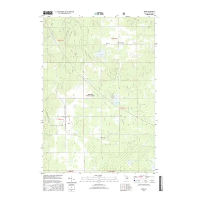
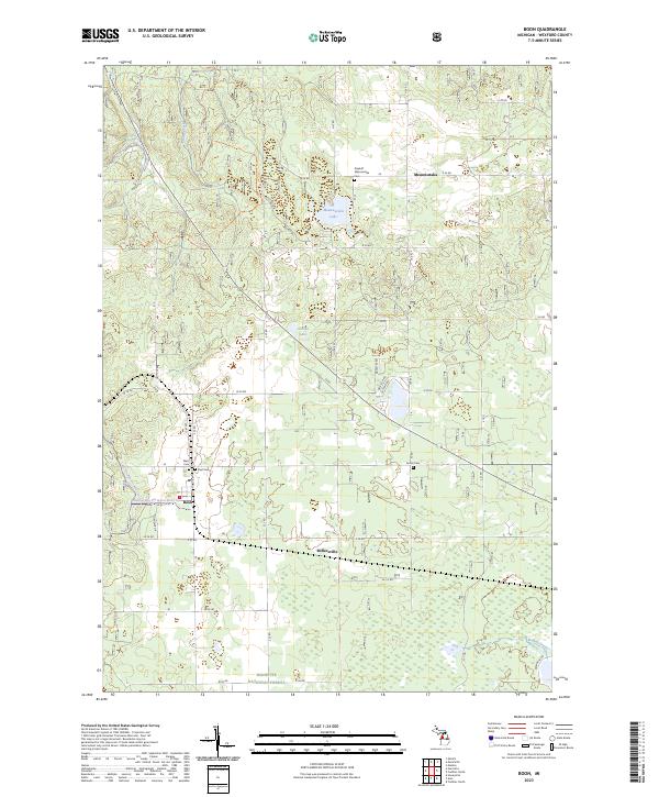
(10)- 2012 Map of Boon, 2012 Print
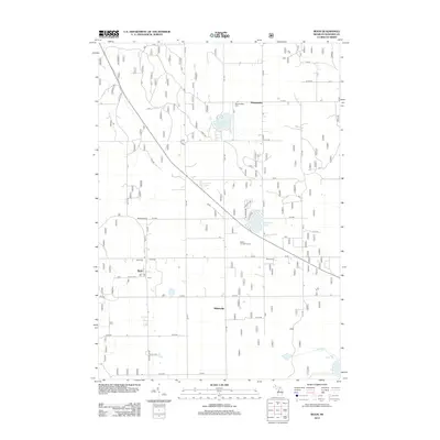 2012 Boon2012 Print · USGSCovers Selma Township, including Boon, Antioch Township, and other nearby areas
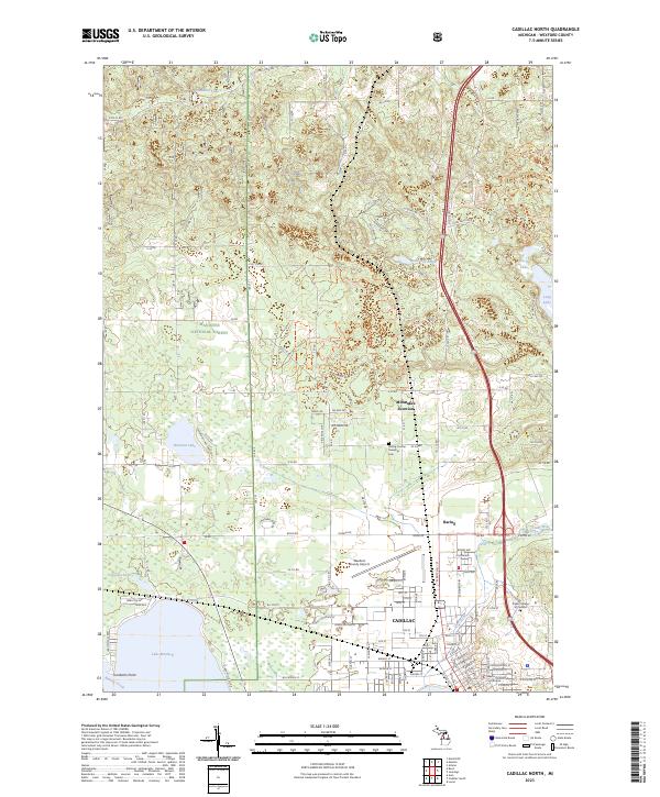
 - 2012 Map of Cadillac North, 2012 Print
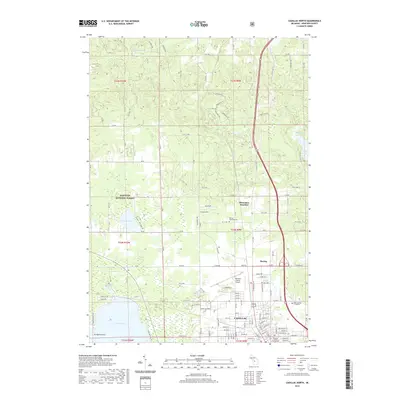
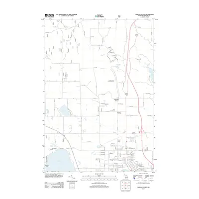 2012 Cadillac North2012 Print · USGSCovers Selma Township, including Cadillac, Haring Charter Township, and other nearby areas
 - 2014 Map of Cadillac North, 2014 Print
 2014 Cadillac North2014 Print · USGSCovers Selma Township, including Cadillac, Haring Charter Township, and other nearby areas
 - 2014 Map of Boon, 2014 Print
 2014 Boon2014 Print · USGSCovers Selma Township, including Boon, Antioch Township, and other nearby areas
 - 2017 Map of Cadillac North, 2017 Print
 2017 Cadillac North2017 Print · USGSCovers Selma Township, including Cadillac, Haring Charter Township, and other nearby areas
 - 2017 Map of Boon, 2017 Print
 2017 Boon2017 Print · USGSCovers Selma Township, including Boon, Antioch Township, and other nearby areas
 - 2019 Map of Cadillac North, 2019 Print
 2019 Cadillac North2019 Print · USGSCovers Selma Township, including Cadillac, Haring Charter Township, and other nearby areas
 - 2019 Map of Boon, 2019 Print
 2019 Boon2019 Print · USGSCovers Selma Township, including Boon, Antioch Township, and other nearby areas
 - 2023 Map of Boon, 2023 Print
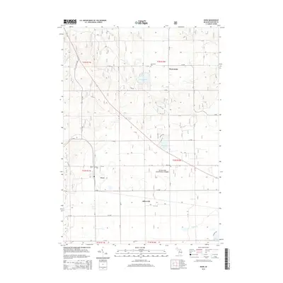
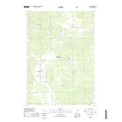
 2023 Boon2023 Print · USGSWexford County in the 2020s remains a landscape of forest tracts and small rural settlements. Researchers can locate family burial sites at Dayhuff Meauwataka Cem or trace the early foundations of Boon and Meauwataka.
 - 2023 Map of Cadillac North, 2023 Print
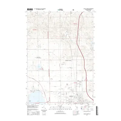
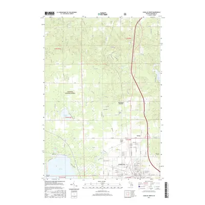
 2023 Cadillac North2023 Print · USGSCadillac and its northern environs are captured here at a time of continued growth within the Wexford County lake country. Local historians can trace the footprint of Cadillac, locate the Haring Charter Township Cem, and see the layout of Missaukee Junction.
End of results
Showing maps 1-10 of 10
Top cities near Selma Township
- Cadillac historical maps
- Paradise Township historical maps
- Haring Charter Township historical maps
- Haring Township historical maps
- Mayfield Township historical maps
- Fife Lake Township historical maps
See more
Top neighborhoods of Selma Township
Frequently asked questions
- What are the different types of historical maps available for Selma Township?
- What is the oldest map of Selma Township?
- Where can I purchase historical maps of Selma Township for my home or office?
- Where can I download high-res historical maps of Selma Township?
- Are there historical topographic maps available for Selma Township?
- Is there historical aerial imagery available for Selma Township?
- Where are historical maps of Selma Township sourced from?