Old Maps of Detroit Lakes, Minnesota for Genealogy
Trace your family roots with 17 historic maps of Detroit Lakes. These high-res maps reveal old neighborhoods, homesites, landmarks, and streets — helping you uncover where your ancestors lived and how the area evolved over time.
- Explore historic neighborhoods: Identify where your relatives may have lived in the 1800s or 1900s.
- Compare maps over time: Trace the changes in streets, buildings, and landmarks for multi-generational research.
- Perfect for genealogy & ancestry research: Used by family historians and researchers to map out lineage and migration.
These maps are an incredible resource for exploring your personal connection to Detroit Lakes's past.
Detroit Lakes, MN maps
(17)- 1953 Map of Brainerd, 1966 Print
 1953 Brainerd1966 Print · USGSCentral Minnesota's lake country and iron ranges are detailed in the mid-fifties, showing the intersection of industry and wilderness. Researchers can locate specific local landmarks like the Crow Wing County Courthouse or trace the early paths of the Soo Line Railroad and the Cuyuna Range Iron Mines.3 unique versions available
 - 1957 Map of Brainerd
 1957 Brainerd1957 Print · USGSNorth-central Minnesota's lake-rich landscape is captured in the mid-1950s as a crossroads of rail, river, and forest. Genealogists and historians can trace the paths of the Great Northern and Soo Line railroads through hubs like Brainerd, Wadena, and Detroit Lakes.
 - 1958 Map of Brainerd
 1958 Brainerd1958 Print · USGSCentral Minnesota in the late fifties is a landscape of dense lake chains, rail hubs, and sprawling state forests. Genealogists and local historians can trace old property alignments near the Mississippi River or locate family sites in Brainerd, Little Falls, and Detroit Lakes.
 - 1959 Map of Audubon, 1960 Print
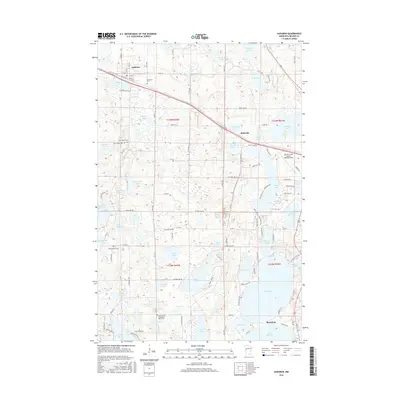
 1959 Audubon1960 Print · USGSBecker County's lake country is captured here in the late fifties, showcasing a landscape of glacial basins and early mid-century growth. Genealogists and local historians can trace rural roots at Immanuel Cem, the Maple Grove Sch, and along the Northern Pacific rail line.3 unique versions available
 - 1959 Map of Detroit Lakes, 1960 Print
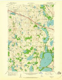
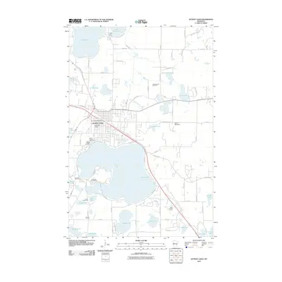
 1959 Detroit Lakes1960 Print · USGSDetroit Lakes and its surrounding townships are shown here in the late fifties, during a period of steady mid-century growth. Genealogists can locate family landmarks such as Oak Grove Cem and several neighborhood schools including Rossman Sch and Lake View Sch.2 unique versions available
 - 1965 Map of Brainerd
 1965 Brainerd1965 Print · USGSNorth-central Minnesota in the mid-fifties presents a complex landscape of sprawling lake systems and established rail corridors. Genealogists and historians can trace the growth of timber towns along the Northern Pacific RR and explore early borders of the White Earth Indian Reservation or Tamarac National Wildlife Refuge.
 - 1986 Map of Detroit Lakes
 1986 Detroit Lakes1986 Print · USGSBecker and Otter Tail counties in the 1980s reveal a landscape of vast wildlife refuges and glacial lakes. Genealogists and historians can trace the rail corridor through Detroit Lakes and Perham or locate family sites near Sugar Bush Lake and Smoky Hill Lookout.2 unique versions available
 - 2010 Map of Audubon, 2010 Print
 2010 Audubon2010 Print · USGSCovers Detroit Lakes, including Audubon, Shoreham, and other nearby areas
 - 2010 Map of Detroit Lakes, 2010 Print
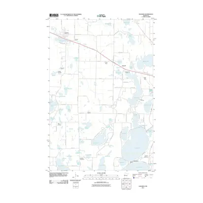
 2010 Detroit Lakes2010 Print · USGSCovers Detroit Lakes, including Becker County, United States, and other nearby areas
 - 2013 Map of Audubon, 2013 Print
 2013 Audubon2013 Print · USGSCovers Detroit Lakes, including Audubon, Shoreham, and other nearby areas
 - 2013 Map of Detroit Lakes, 2013 Print
 2013 Detroit Lakes2013 Print · USGSCovers Detroit Lakes, including Becker County, United States, and other nearby areas
 - 2016 Map of Audubon, 2016 Print
 2016 Audubon2016 Print · USGSCovers Detroit Lakes, including Audubon, Shoreham, and other nearby areas
 - 2016 Map of Detroit Lakes, 2016 Print
 2016 Detroit Lakes2016 Print · USGSCovers Detroit Lakes, including Becker County, United States, and other nearby areas
 - 2019 Map of Detroit Lakes, 2019 Print
 2019 Detroit Lakes2019 Print · USGSCovers Detroit Lakes, including Becker County, United States, and other nearby areas
 - 2019 Map of Audubon, 2019 Print
 2019 Audubon2019 Print · USGSCovers Detroit Lakes, including Audubon, Shoreham, and other nearby areas
 - 2022 Map of Audubon, 2022 Print
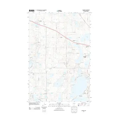
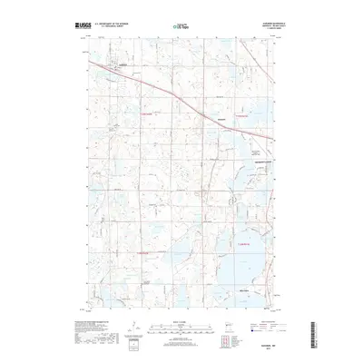
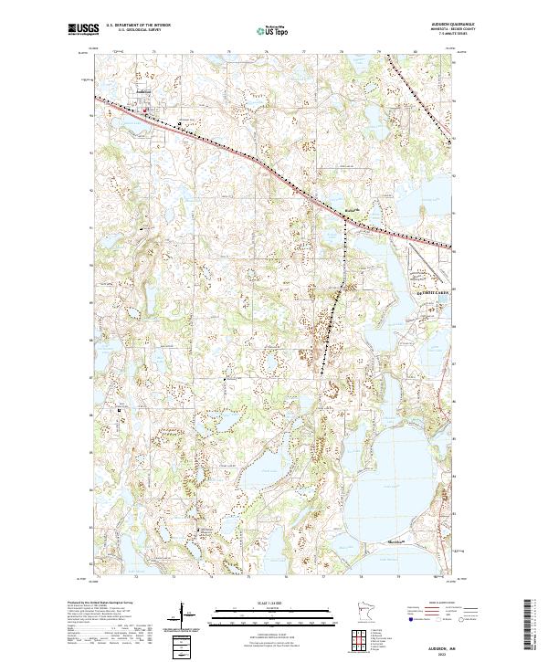 2022 Audubon2022 Print · USGSBecker County’s lake-dotted terrain is shown here in the 2020s, centered on the community of Audubon. Family historians can locate several burial grounds like Cook Family Cem and Saint Peter's Cem, or trace properties near Pearl Lake and Lake Sallie.
 - 2022 Map of Detroit Lakes, 2022 Print
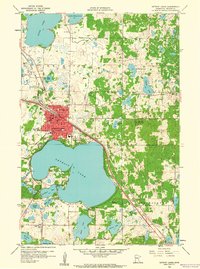
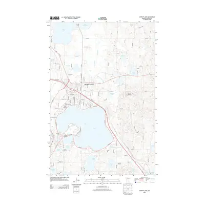
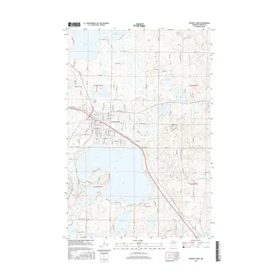
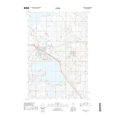
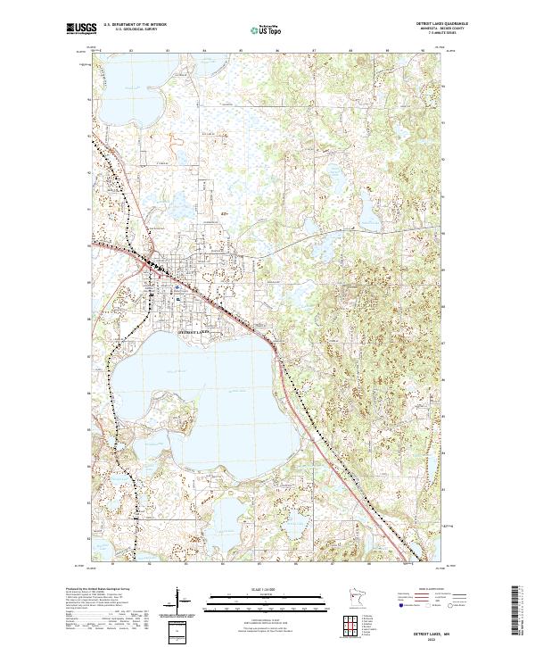 2022 Detroit Lakes2022 Print · USGSBecker County’s lake country is seen in the early 2020s, centered on the growing community of Detroit Lakes. Genealogists can locate family sites near the Becker County Courthouse, Catholic Cem, or Holy Rosary Catholic Church.
End of results
Showing maps 1-17 of 17
Top cities near Detroit Lakes
- Lake Eunice historical maps
- Frazee historical maps
- Cormorant historical maps
- Richwood historical maps
- Audubon historical maps
- Vergas historical maps
See more
Frequently asked questions
- What are the different types of historical maps available for Detroit Lakes?
- What is the oldest map of Detroit Lakes?
- Where can I purchase historical maps of Detroit Lakes for my home or office?
- Where can I download high-res historical maps of Detroit Lakes?
- Are there historical topographic maps available for Detroit Lakes?
- Is there historical aerial imagery available for Detroit Lakes?
- Where are historical maps of Detroit Lakes sourced from?