2020s Maps of Mayer, Minnesota
Explore 2 historic maps of Mayer from the 2020s. These maps offer a rare glimpse into what life looked like during the 2020s — showing old roads, neighborhoods, homes, and landmarks that have changed or disappeared over time.
Whether you're researching your family's past, planning a metal detecting trip, or studying how Mayer's landscape evolved across the 2020s, these high-resolution maps are a powerful tool for exploring the history of this region.
- Focus on a specific era: All maps on this page are from the 2020s, giving you a focused view of this time period.
- See what’s changed: Compare century-old streets, trails, and buildings to today's modern landscape using overlays and satellite layers.
- Research with precision: Use these maps for genealogy, historical research, land use analysis, or educational projects.
- View, download, or print: Maps are fully viewable online in high resolution, and can be downloaded or printed for your own records.
Start exploring Mayer's history through authentic maps from the 2020s. This is your window into the past.
Mayer, MN maps
(2)- 2022 Map of Watertown, 2022 Print
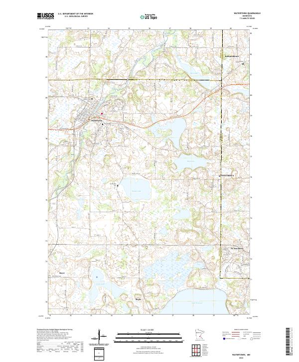 2022 Watertown2022 Print · USGSWestern Carver County and its surrounding borders are shown in this modern survey. Genealogists can locate Saint Paul's Catholic Cem, Oakland Cem, and Swede Lake Cem near the banks of the South Fork Crow River.
 - 2022 Map of Mayer, 2022 Print
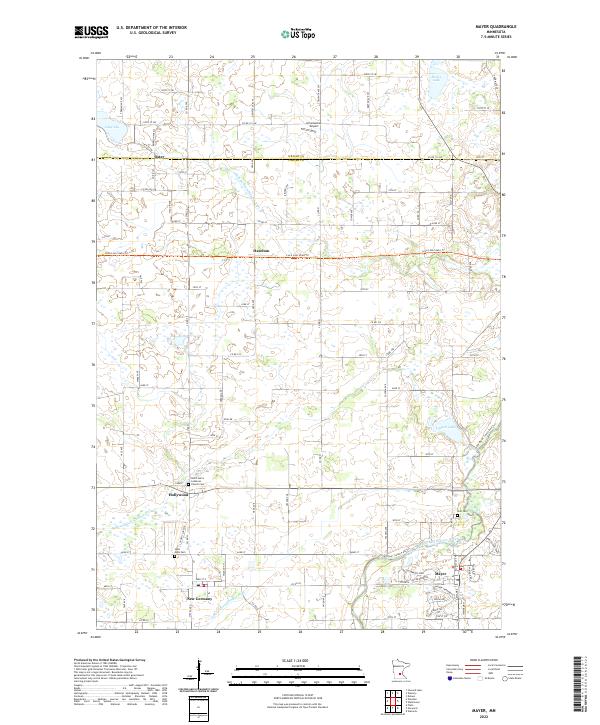 2022 Mayer2022 Print · USGSCarver and Wright Counties appear in this modern survey of the agricultural prairie west of Minneapolis. Genealogists and local historians can trace family locations near New Germany, the Luce Line State Trail, and Saint John's Lutheran Cemetery.
End of results
Showing maps 1-2 of 2
Top cities near Mayer
- Mound historical maps
- Waconia historical maps
- Victoria historical maps
- Minnetrista historical maps
- Delano historical maps
- Watertown historical maps
See more
Frequently asked questions
- What are the different types of historical maps available for Mayer?
- What is the oldest map of Mayer?
- Where can I purchase historical maps of Mayer for my home or office?
- Where can I download high-res historical maps of Mayer?
- Are there historical topographic maps available for Mayer?
- Is there historical aerial imagery available for Mayer?
- Where are historical maps of Mayer sourced from?