Old Maps of Oakwood Court, North Branch for Academic Research
Study the evolution of Oakwood Court with 14 high-resolution historic maps. Whether you're teaching, researching, or modeling changes in land use, these maps provide essential visual documentation of urban, environmental, and geographic change.
- Analyze long-term change: Track patterns in development, transportation, and natural features.
- Ideal for environmental or urban studies: Support academic projects with primary historical map data.
- Use in the classroom or lab: Educators and researchers rely on these maps to bring historical context to life.
These maps are a powerful tool for teaching, research, and visualizing how Oakwood Court has changed over the decades.
Oakwood Court, North Branch maps
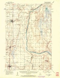
(14)- 1950 Map of Rush City
 1950 Rush City1950 Print · USGSThe St. Croix River valley in the late 1940s reveals a quiet borderland where timber and rail infrastructure meet rural crossroads. Genealogists and historians can trace the foundations of local life at Indian Cem, the Rush City Ferry, and the Logging RR.
 - 1953 Map of Stillwater, 1980 Print
 1953 Stillwater1980 Print · USGSThe Twin Cities and the St. Croix Valley are captured in this mid-century survey as the interstate era began to transform the Upper Midwest. Genealogists and historians can trace the rail-and-river geography of Stillwater, locate landmarks in Anoka, or explore the sprawling St Croix State Park.
 - 1955 Map of Rush City, 1957 Print
 1955 Rush City1957 Print · USGSThe St. Croix River valley in the mid-1950s reveals a landscape of railroad towns and riverside settlements. Genealogists can trace family landmarks like the Swedish Cem, Pleasant Prairie Ch, and the Indian Cem.5 unique versions available
 - 1955 Map of Stillwater, 1965 Print
 1955 Stillwater1965 Print · USGSThe Upper St. Croix Valley and the growing Twin Cities area are shown here during the mid-fifties, before the interstate era transformed the regional commute. You can trace the lines of the Northern Pacific RR through towns like Rush City or locate the Saint Croix Indian Reservation.
 - 1958 Map of Stillwater
 1958 Stillwater1958 Print · USGSThe Upper Mississippi and St. Croix River valleys appear in the mid-fifties as the Twin Cities expanded north. Genealogists can locate family landmarks like Oak Park Cem, Saint Michael Church, and the Soo Line RR rail corridors.2 unique versions available
 - 1965 Map of Stillwater
 1965 Stillwater1965 Print · USGSThe Twin Cities and the St. Croix Valley are mapped here during a period of significant post-war growth and industrial transit. Genealogists and historians can trace rail lines like the Northern Pacific RR through towns such as Rush City, Amery, and Balsam Lake.
 - 1975 Map of Stillwater
 1975 Stillwater1975 Print · USGSThe Twin Cities and the St. Croix Valley are captured in the mid-seventies, showing the urban growth of Minneapolis and St Paul. Researchers can trace old rail corridors of the Northern Pacific RR and locate tribal lands at the Mille Lacs Indian Reservation.2 unique versions available
 - 1983 Map of North Branch, 1984 Print
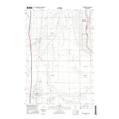
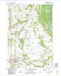 1983 North Branch1984 Print · USGSThe St. Croix River valley in the early 1980s reveals a landscape of protected forests and riverfront alongside growing Minnesota townships. Genealogists and local historians can trace family sites at Oak Grove Cem and Mission Covenant Cem or follow the Burlington Northern rail line.
 - 1985 Map of Grantsburg
 1985 Grantsburg1985 Print · USGSThe river borderlands of Minnesota and Wisconsin come alive in the mid-1980s, showcasing the intricate water networks and forest preserves of Burnett and Pine counties. Trace the rail lines of the Soo Line or find rural landmarks like Trade Lake Ch and Hildas Corner.2 unique versions available
 - 2010 Map of North Branch, 2010 Print
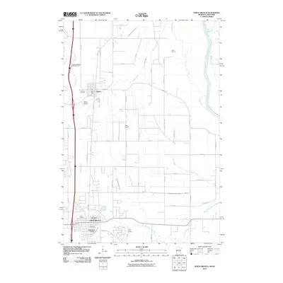 2010 North Branch2010 Print · USGSCovers Oakwood Court, including North Branch, Harris, and other nearby areas
 - 2013 Map of North Branch, 2013 Print
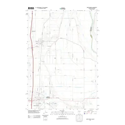 2013 North Branch2013 Print · USGSCovers Oakwood Court, including North Branch, Harris, and other nearby areas
 - 2016 Map of North Branch, 2016 Print
 2016 North Branch2016 Print · USGSCovers Oakwood Court, including North Branch, Harris, and other nearby areas
 - 2019 Map of North Branch, 2019 Print
 2019 North Branch2019 Print · USGSCovers Oakwood Court, including North Branch, Harris, and other nearby areas
 - 2022 Map of North Branch, 2022 Print
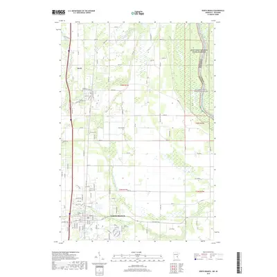
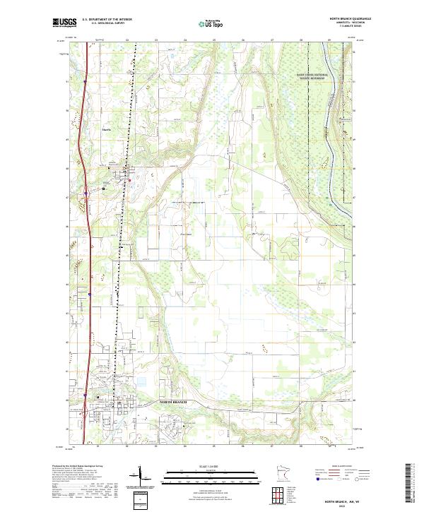 2022 North Branch2022 Print · USGSNorth Branch and Harris are depicted here in the early twenty-first century, anchored by the river corridors at the Minnesota-Wisconsin border. Researchers can trace local heritage through sites like the Poor Farm Cem, Oak Grove Cem, and Trinity Lutheran Ch.
End of results
Showing maps 1-14 of 14
Top cities near Oakwood Court
- Ham Lake historical maps
- East Bethel historical maps
- North Branch historical maps
- Cambridge historical maps
- Chisago City historical maps
- Linwood historical maps
See more
Frequently asked questions
- What are the different types of historical maps available for Oakwood Court?
- What is the oldest map of Oakwood Court?
- Where can I purchase historical maps of Oakwood Court for my home or office?
- Where can I download high-res historical maps of Oakwood Court?
- Are there historical topographic maps available for Oakwood Court?
- Is there historical aerial imagery available for Oakwood Court?
- Where are historical maps of Oakwood Court sourced from?