Old Maps of Harmony, Minnesota
Explore 22 old maps of Harmony, spanning from 1954 to today. These high-resolution historic maps reveal how streets, neighborhoods, landmarks, and natural features evolved over time — perfect for genealogy, metal detecting, research, and local history exploration.
What you can do with these maps:
- See how Harmony changed over time: Compare historical maps to modern-day views to trace roads, homesites, rail lines & more.
- View detailed metadata: Each map includes creators, publishers, year, scale, and archive source.
- Overlay maps with satellite & LiDAR: Visualize the past alongside modern tools to explore terrain & human change.
- Trusted historical sources: Maps sourced from the USGS, Library of Congress, and other archives.
- Access maps your way: View online, download high-res files, or order prints for personal or research use.
Start exploring old maps of Harmony to uncover forgotten places, hidden landmarks, and the deep history beneath your feet.
Harmony, MN maps
(22)- 1954 Map of Mason City, 1967 Print
 1954 Mason City1967 Print · USGSSouthern Minnesota and northern Iowa are shown here at the height of the mid-century rail era, centered on the regional hubs of Mason City and Rochester. Researchers can trace the vanished paths of the Chicago Great Western and find local landmarks like Pilot Knob and Bear Lake.2 unique versions available
 - 1957 Map of Mason City
 1957 Mason City1957 Print · USGSThe Minnesota-Iowa border region comes alive in this mid-century survey, from the industrial plants of Mason City to the medical hub of Rochester. Researchers can trace the rail-and-river economy through the Chicago Great Western Railway and the Shell Rock River.
 - 1958 Map of Mason City
 1958 Mason City1958 Print · USGSSouthern Minnesota and northern Iowa are shown during the mid-fifties when railroads still anchored the regional economy. Genealogists and historians can trace the intricate rail networks of the Illinois Central and find local landmarks in Mason City, Albert Lea, and Austin.
 - 1958 Map of La Crosse, 1979 Print
 1958 La Crosse1979 Print · USGSThe Driftless Area of Wisconsin and Iowa is captured here during the late seventies, showing the intricate river valleys and ridge-top settlements. Genealogists and historians can trace the rail corridors of the Soo Line or locate landmarks like Grandad Bluff and Effigy Mounds National Monument.2 unique versions available
 - 1961 Map of La Crosse
 1961 La Crosse1961 Print · USGSThe Driftless Area at the start of the 1960s reveals a complex network of river towns and rail lines along the Mississippi River. Genealogists and historians can trace old settlements like New Amsterdam and Wyattville or locate major landmarks like Camp McCoy Military Reservation and Effigy Mounds National Monument.
 - 1965 Map of La Crosse
 1965 La Crosse1965 Print · USGSThe Driftless Area and the Upper Mississippi valley are captured here during a period of steady mid-century growth. Researchers can trace the rail lines of the Chicago and North Western or locate riverfront sites like Effigy Mounds National Monument and the Camp McCoy Military Reservation.
 - 1965 Map of Harmony, 1966 Print
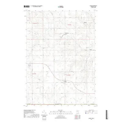
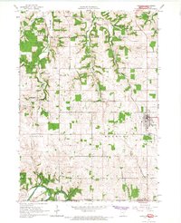 1965 Harmony1966 Print · USGSThe Minnesota-Iowa borderlands near Harmony are shown in the mid-1960s, a time when rail and river still defined the local geography. Researchers can trace the Milwaukee Road railroad or locate family burial sites at Rice Cem and Old Big Spring Cem.2 unique versions available
 - 1965 Map of Canton, 1966 Print
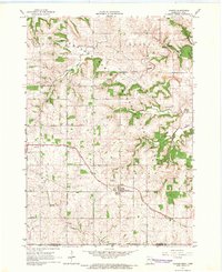 1965 Canton1966 Print · USGSSoutheast Minnesota near the Iowa border is captured in the mid-sixties, showing a landscape defined by the South Fork Root River and its rail-linked villages. Researchers can trace the Chicago Milwaukee St Paul and Pacific tracks through Canton and find family-named sites like Henrytown and Scotland Cem.
 - 1976 Map of La Crosse
 1976 La Crosse1976 Print · USGSThe Driftless Area and Mississippi River valley are captured here in the mid-seventies, showing a landscape of deep coulees and river commerce. Genealogists can trace family footprints from La Crosse to smaller hamlets like Newburg Corners and Witoka.
 - 1984 Map of La Crosse, 1985 Print
 1984 La Crosse1985 Print · USGSThe Driftless Area of the upper Mississippi valley appears here in the mid-eighties, showing the tri-state intersections of Wisconsin, Minnesota, and Iowa. Genealogists and local historians can trace family-named landmarks such as Peacock Ridge or Prosch Coulee and locate rural landmarks like St Marys Ch.
 - 1985 Map of Austin
 1985 Austin1985 Print · USGSSoutheast Minnesota in the mid-1980s reveals a land of river valleys and agricultural hubs along the Iowa border. Researchers can trace the legacy of regional transport through the Chicago and North Western line and landmarks like Niagara Cave or the Rochester Municipal Airport.2 unique versions available
 - 1990 Map of La Crosse, 1991 Print
 1990 La Crosse1991 Print · USGSThe tri-state river valley at the end of the twentieth century shows a landscape defined by the Mississippi River and heavy rail. Trace the paths of the Soo Line and Burlington Northern through river towns like Brownsville and La Crescent.
 - 2010 Map of Harmony, 2010 Print
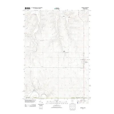
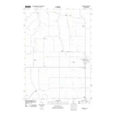 2010 Harmony2010 Print · USGSCovers Harmony, including Big Spring, Hutton, and other nearby areas
 - 2010 Map of Canton, 2010 Print
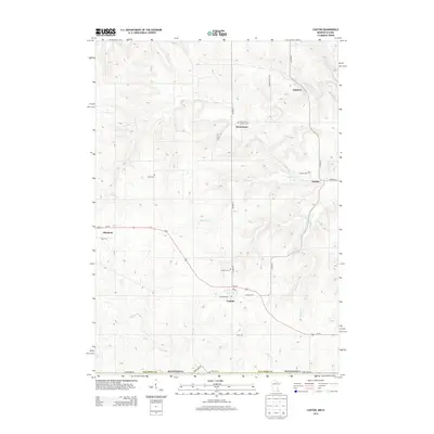
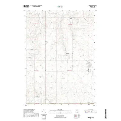
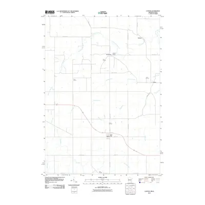 2010 Canton2010 Print · USGSCovers Harmony, including Amherst, Canton, and other nearby areas
 - 2013 Map of Harmony, 2013 Print
 2013 Harmony2013 Print · USGSCovers Harmony, including Big Spring, Hutton, and other nearby areas
 - 2013 Map of Canton, 2013 Print
 2013 Canton2013 Print · USGSCovers Harmony, including Amherst, Canton, and other nearby areas
 - 2016 Map of Harmony, 2016 Print
 2016 Harmony2016 Print · USGSCovers Harmony, including Big Spring, Hutton, and other nearby areas
 - 2016 Map of Canton, 2016 Print
 2016 Canton2016 Print · USGSCovers Harmony, including Amherst, Canton, and other nearby areas
 - 2019 Map of Canton, 2019 Print
 2019 Canton2019 Print · USGSCovers Harmony, including Amherst, Canton, and other nearby areas
 - 2019 Map of Harmony, 2019 Print
 2019 Harmony2019 Print · USGSCovers Harmony, including Big Spring, Hutton, and other nearby areas
 - 2022 Map of Harmony, 2022 Print
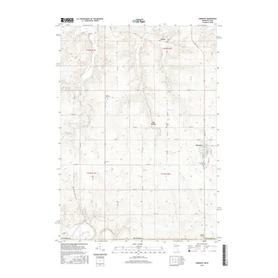
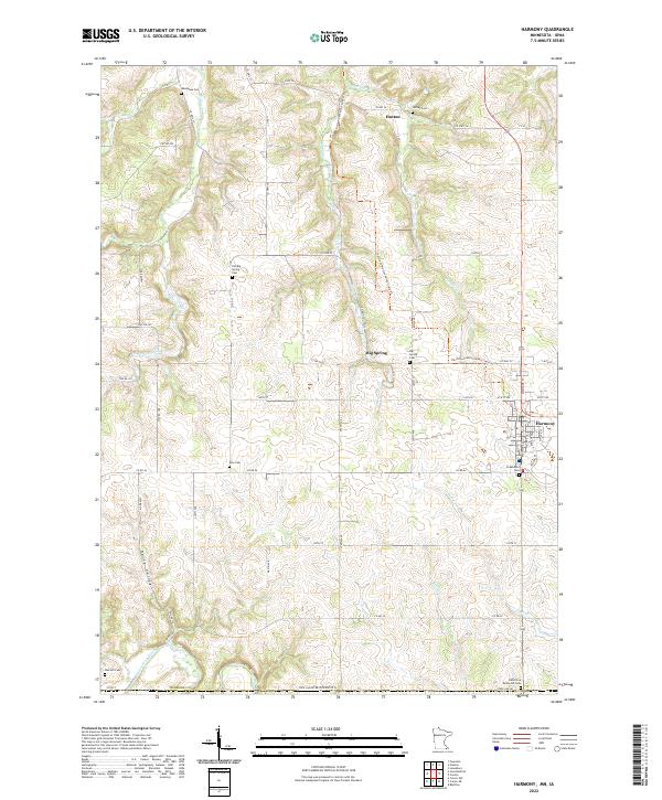 2022 Harmony2022 Print · USGSSouthern Minnesota agricultural life and small-town roots are preserved here as the modern century unfolds. Local historians can trace family plots at Old Big Spring Cem and Hutton Cem or follow the route of the Harmony-Preston Valley State Trl.
 - 2022 Map of Canton, 2022 Print
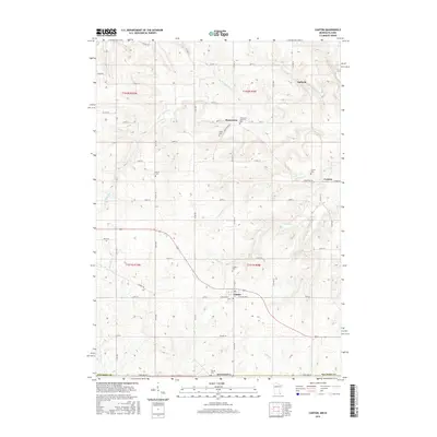
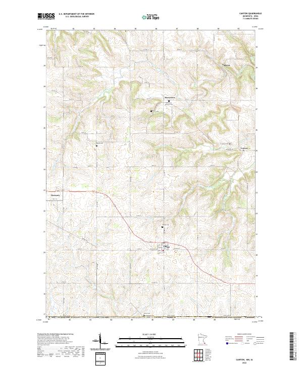 2022 Canton2022 Print · USGSCanton and the southeastern Minnesota borderlands are captured here in the early twenty-first century, showing a landscape of deep-rooted rural settlements. Researchers can trace family history through several burial sites like Amish Cem, Henrytown Lutheran Cem, and Lenora Cem.
End of results
Showing maps 1-22 of 22
Top cities near Harmony
- Decorah historical maps
- Cresco historical maps
- Preston historical maps
- Rushford Village historical maps
- Lanesboro historical maps
- Bristol historical maps
See more
Frequently asked questions
- What are the different types of historical maps available for Harmony?
- What is the oldest map of Harmony?
- Where can I purchase historical maps of Harmony for my home or office?
- Where can I download high-res historical maps of Harmony?
- Are there historical topographic maps available for Harmony?
- Is there historical aerial imagery available for Harmony?
- Where are historical maps of Harmony sourced from?