Old Maps of Emmons, Minnesota
Explore 18 old maps of Emmons, spanning from 1954 to today. These high-resolution historic maps reveal how streets, neighborhoods, landmarks, and natural features evolved over time — perfect for genealogy, metal detecting, research, and local history exploration.
What you can do with these maps:
- See how Emmons changed over time: Compare historical maps to modern-day views to trace roads, homesites, rail lines & more.
- View detailed metadata: Each map includes creators, publishers, year, scale, and archive source.
- Overlay maps with satellite & LiDAR: Visualize the past alongside modern tools to explore terrain & human change.
- Trusted historical sources: Maps sourced from the USGS, Library of Congress, and other archives.
- Access maps your way: View online, download high-res files, or order prints for personal or research use.
Start exploring old maps of Emmons to uncover forgotten places, hidden landmarks, and the deep history beneath your feet.
Emmons, MN maps
(18)- 1954 Map of Albert Lea, 1956 Print
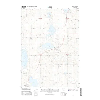
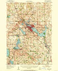 1954 Albert Lea1956 Print · USGSFreeborn County in the mid-fifties is a landscape of glacial lakes and bustling rail junctions centered on Albert Lea. Genealogists can trace rural family roots through numerous district schools like Norby Sch and country churches such as Pickerel Lake Ch.3 unique versions available
 - 1954 Map of Mason City, 1967 Print
 1954 Mason City1967 Print · USGSSouthern Minnesota and northern Iowa are shown here at the height of the mid-century rail era, centered on the regional hubs of Mason City and Rochester. Researchers can trace the vanished paths of the Chicago Great Western and find local landmarks like Pilot Knob and Bear Lake.2 unique versions available
 - 1957 Map of Mason City
 1957 Mason City1957 Print · USGSThe Minnesota-Iowa border region comes alive in this mid-century survey, from the industrial plants of Mason City to the medical hub of Rochester. Researchers can trace the rail-and-river economy through the Chicago Great Western Railway and the Shell Rock River.
 - 1958 Map of Mason City
 1958 Mason City1958 Print · USGSSouthern Minnesota and northern Iowa are shown during the mid-fifties when railroads still anchored the regional economy. Genealogists and historians can trace the intricate rail networks of the Illinois Central and find local landmarks in Mason City, Albert Lea, and Austin.
 - 1972 Map of Bristol, 1975 Print
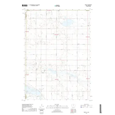
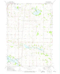 1972 Bristol1975 Print · USGSWorth County and the Minnesota border come alive in the early seventies, showing a landscape of managed marshes and rail-connected settlements. Trace the rural community through St Patricks Cem, the village of Emmons, and the Bristol Ch.
 - 1982 Map of Emmons, 1983 Print
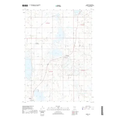
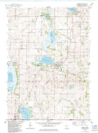 1982 Emmons1983 Print · USGSSouthern Minnesota's prairie lake country is captured here in the early eighties, showing the deeply interconnected drainage of Freeborn County. Researchers can trace rural lineages at Brush Hill Cemetery or follow the Old RR Grade near Twin Lakes.
 - 1985 Map of Mason City
 1985 Mason City1985 Print · USGSThe Northern Iowa and Southern Minnesota borderlands are captured here in the mid-eighties, showing a region defined by agricultural drainage and rail heritage. Genealogists and historians can trace the grid of rural townships and find local landmarks like Pilot Knob State Park, Nora Springs, and Clear Lake State Park.2 unique versions available
 - 1985 Map of Albert Lea
 1985 Albert Lea1985 Print · USGSSouthern Minnesota's agricultural heartland is documented here in the mid-1980s, showing a landscape defined by industrial rail lines and managed waterways. Trace the historic routes of the Chicago and North Western and explore settlements like Hollandale, New Richland, and Bricelyn.2 unique versions available
 - 2010 Map of Emmons, 2010 Print
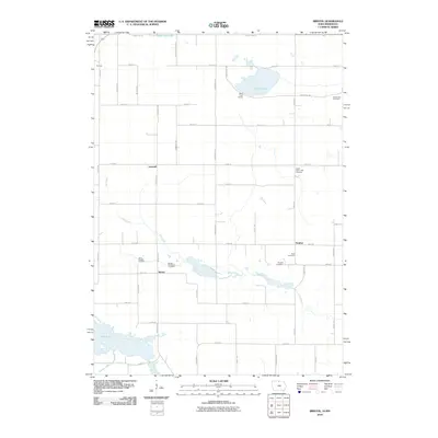
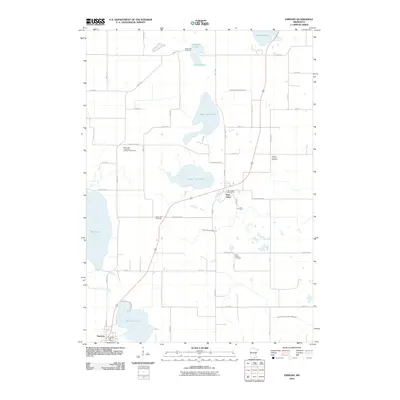 2010 Emmons2010 Print · USGSCovers Emmons, including Twin Lakes, Lakeview Mobile Home Park, and other nearby areas
 - 2010 Map of Bristol, 2010 Print
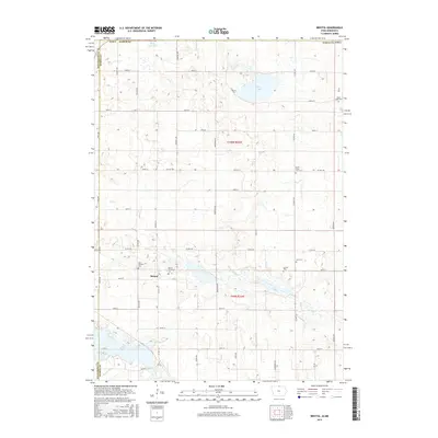
 2010 Bristol2010 Print · USGSCovers Emmons, including Somber, Bristol, and other nearby areas
 - 2013 Map of Bristol, 2013 Print
 2013 Bristol2013 Print · USGSCovers Emmons, including Somber, Bristol, and other nearby areas
 - 2013 Map of Emmons, 2013 Print
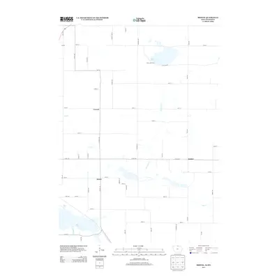
 2013 Emmons2013 Print · USGSCovers Emmons, including Twin Lakes, Lakeview Mobile Home Park, and other nearby areas
 - 2015 Map of Bristol, 2015 Print
 2015 Bristol2015 Print · USGSCovers Emmons, including Somber, Bristol, and other nearby areas
 - 2016 Map of Emmons, 2016 Print
 2016 Emmons2016 Print · USGSCovers Emmons, including Twin Lakes, Lakeview Mobile Home Park, and other nearby areas
 - 2018 Map of Bristol, 2018 Print
 2018 Bristol2018 Print · USGSCovers Emmons, including Somber, Bristol, and other nearby areas
 - 2019 Map of Emmons, 2019 Print
 2019 Emmons2019 Print · USGSCovers Emmons, including Twin Lakes, Lakeview Mobile Home Park, and other nearby areas
 - 2022 Map of Emmons, 2022 Print
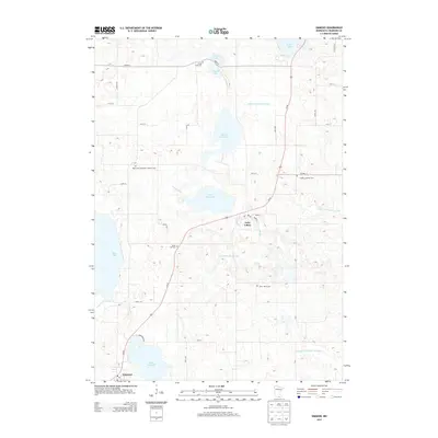
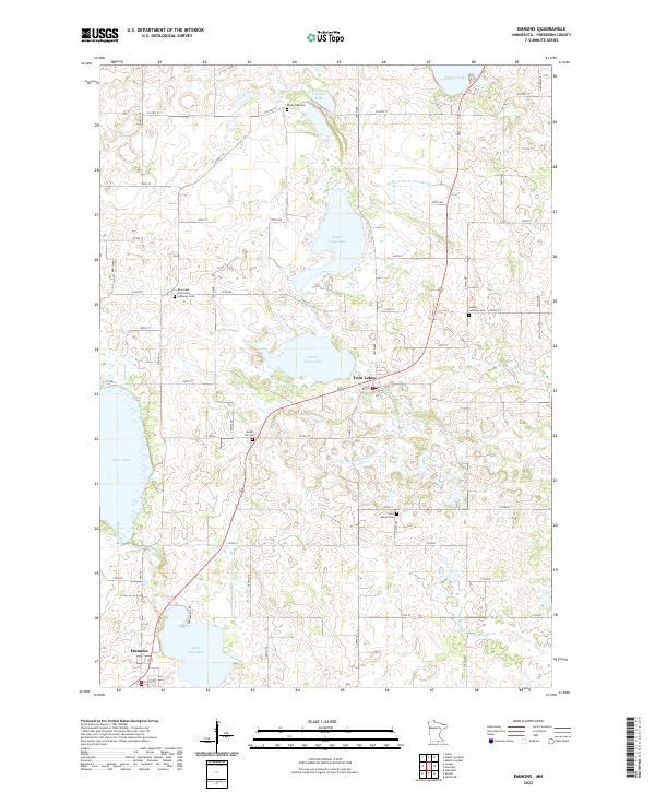 2022 Emmons2022 Print · USGSFreeborn County, Minnesota, is mapped here in the early 2020s, showing a prairie landscape shaped by glacial lakes and a complex drainage network. Researchers can locate local landmarks like Bear Lake Concordia Lutheran Cem and Saint James Cem, or trace the engineered paths of Judicial Ditch Number Nine through the farms.
 - 2022 Map of Bristol, 2022 Print
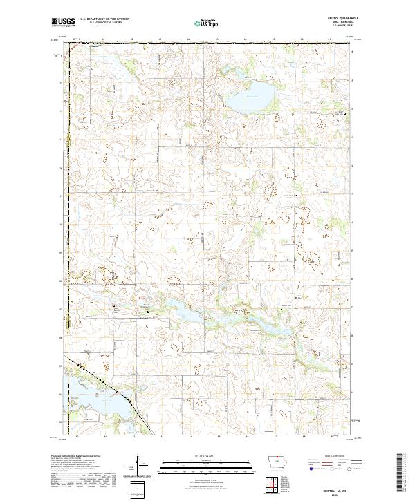 2022 Bristol2022 Print · USGSNorthern Iowa's farm country and glacial lakes come into focus in this recent survey. Genealogists can trace family roots at Saint Patricks Cem, Somber Cem, and Bristol Protestant Cem near the historic settlement of Bristol.
End of results
Showing maps 1-18 of 18
Top cities near Emmons
- Albert Lea historical maps
- Lake Mills historical maps
- Bancroft historical maps
- Glenville historical maps
- Alden historical maps
- Kiester historical maps
See more
Top neighborhoods of Emmons
Frequently asked questions
- What are the different types of historical maps available for Emmons?
- What is the oldest map of Emmons?
- Where can I purchase historical maps of Emmons for my home or office?
- Where can I download high-res historical maps of Emmons?
- Are there historical topographic maps available for Emmons?
- Is there historical aerial imagery available for Emmons?
- Where are historical maps of Emmons sourced from?