2000s (21st Century) Maps of Shorewood, Minnesota
Explore 10 historic maps of Shorewood from the 2000s (21st Century). These maps offer a rare glimpse into what life looked like during the 2000s — showing old roads, neighborhoods, homes, and landmarks that have changed or disappeared over time.
Whether you're researching your family's past, planning a metal detecting trip, or studying how Shorewood's landscape evolved across the 2000s, these high-resolution maps are a powerful tool for exploring the history of this region.
- Focus on a specific era: All maps on this page are from the 2000s, giving you a focused view of this time period.
- See what’s changed: Compare century-old streets, trails, and buildings to today's modern landscape using overlays and satellite layers.
- Research with precision: Use these maps for genealogy, historical research, land use analysis, or educational projects.
- View, download, or print: Maps are fully viewable online in high resolution, and can be downloaded or printed for your own records.
Start exploring Shorewood's history through authentic maps from the 2000s. This is your window into the past.
Shorewood, MN maps
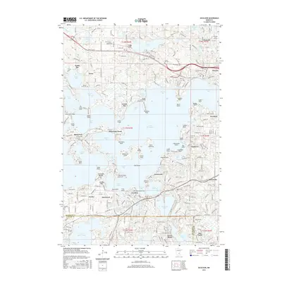
(10)- 2010 Map of Mound, 2010 Print
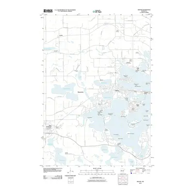 2010 Mound2010 Print · USGSCovers Shorewood, including Chanhassen, Mound, and other nearby areas
 - 2010 Map of Excelsior, 2010 Print
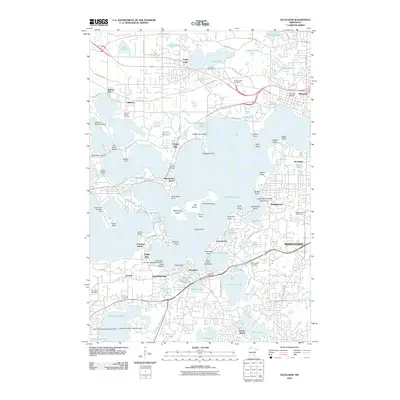 2010 Excelsior2010 Print · USGSCovers Shorewood, including Plymouth, Eden Prairie, and other nearby areas
 - 2013 Map of Mound, 2013 Print
 2013 Mound2013 Print · USGSCovers Shorewood, including Chanhassen, Mound, and other nearby areas
 - 2013 Map of Excelsior, 2013 Print
 2013 Excelsior2013 Print · USGSCovers Shorewood, including Plymouth, Eden Prairie, and other nearby areas
 - 2016 Map of Excelsior, 2016 Print
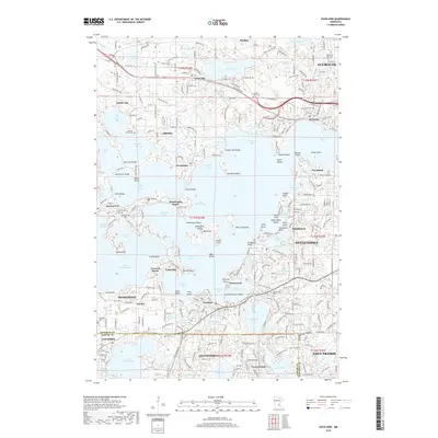
 2016 Excelsior2016 Print · USGSCovers Shorewood, including Plymouth, Eden Prairie, and other nearby areas
 - 2016 Map of Mound, 2016 Print
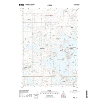
 2016 Mound2016 Print · USGSCovers Shorewood, including Chanhassen, Mound, and other nearby areas
 - 2019 Map of Excelsior, 2019 Print
 2019 Excelsior2019 Print · USGSCovers Shorewood, including Plymouth, Eden Prairie, and other nearby areas
 - 2019 Map of Mound, 2019 Print
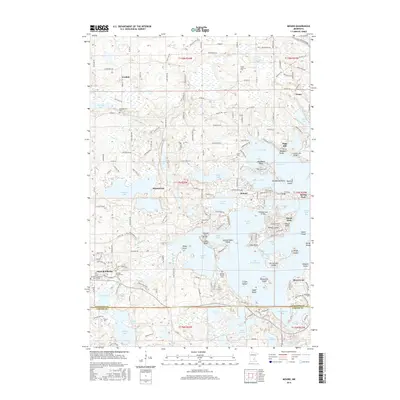
 2019 Mound2019 Print · USGSCovers Shorewood, including Chanhassen, Mound, and other nearby areas
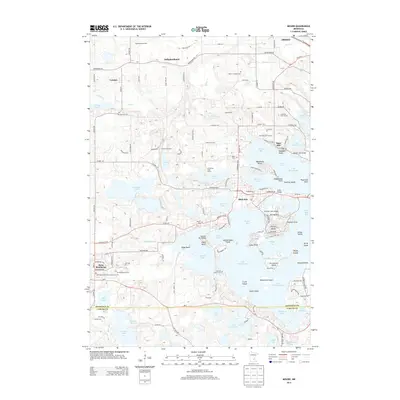
 - 2022 Map of Mound, 2022 Print
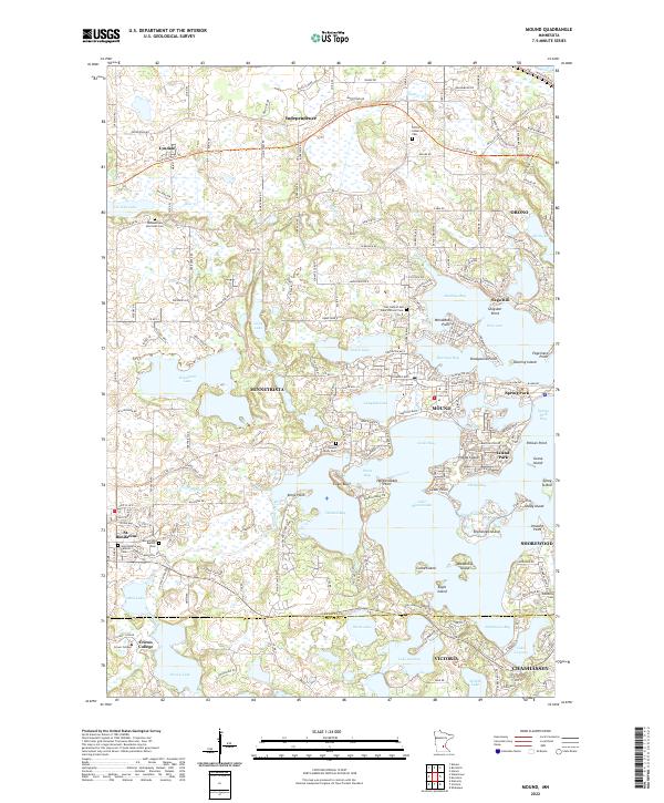 2022 Mound2022 Print · USGSThe western shores of Lake Minnetonka and the surrounding Hennepin County communities are shown in great detail during the early 2020s. Genealogists can trace family names at Mound Union Cem or Minnetrista Merriman Cem while historians follow the historic Yellowstone Trl.
 - 2022 Map of Excelsior, 2022 Print
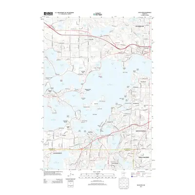
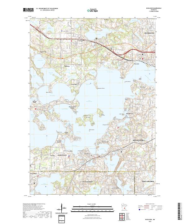 2022 Excelsior2022 Print · USGSLakeside life in the western Minneapolis suburbs is captured here in the early twenty-first century, centered on the complex bays of Lake Minnetonka. Researchers can trace old property lines and local landmarks like Summit Park Cemetery, the historic Wayzata waterfront, and the winding Luce Line State Trail.
End of results
Showing maps 1-10 of 10
Top cities near Shorewood
- Bloomington historical maps
- Brooklyn Park historical maps
- Plymouth historical maps
- Maple Grove historical maps
- Coon Rapids historical maps
- Eden Prairie historical maps
See more
Top neighborhoods of Shorewood
Frequently asked questions
- What are the different types of historical maps available for Shorewood?
- What is the oldest map of Shorewood?
- Where can I purchase historical maps of Shorewood for my home or office?
- Where can I download high-res historical maps of Shorewood?
- Are there historical topographic maps available for Shorewood?
- Is there historical aerial imagery available for Shorewood?
- Where are historical maps of Shorewood sourced from?