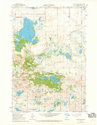
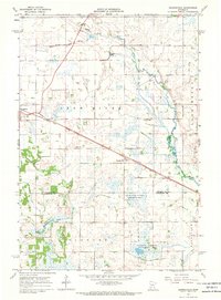
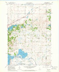
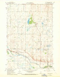
Old Maps of Kandiyohi County, Minnesota
Explore 36 old maps of Kandiyohi County, spanning from 1953 to today. These high-resolution historic maps reveal how streets, neighborhoods, landmarks, and natural features evolved over time — perfect for genealogy, metal detecting, research, and local history exploration.
What you can do with these maps:
- See how Kandiyohi County changed over time: Compare historical maps to modern-day views to trace roads, homesites, rail lines & more.
- View detailed metadata: Each map includes creators, publishers, year, scale, and archive source.
- Overlay maps with satellite & LiDAR: Visualize the past alongside modern tools to explore terrain & human change.
- Trusted historical sources: Maps sourced from the USGS, Library of Congress, and other archives.
- Access maps your way: View online, download high-res files, or order prints for personal or research use.
Start exploring old maps of Kandiyohi County to uncover forgotten places, hidden landmarks, and the deep history beneath your feet.
Kandiyohi County, MN maps
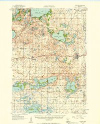
(36)- 1953 Map of New Ulm, 1968 Print
 1953 New Ulm1968 Print · USGSCovers Kandiyohi County, including Mankato, North Mankato, and other nearby areas3 unique versions available
 - 1953 Map of Saint Cloud, 1968 Print
 1953 Saint Cloud1968 Print · USGSCovers Kandiyohi County, including St. Cloud, Saint Cloud, and other nearby areas3 unique versions available
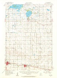
 - 1956 Map of Atwater, 1958 Print
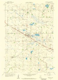
 1956 Atwater1958 Print · USGSCovers Kandiyohi County, including Spicer, Atwater, and other nearby areas2 unique versions available
 - 1957 Map of Saint Cloud
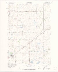
 1957 Saint Cloud1957 Print · USGSCovers Kandiyohi County, including St. Cloud, Saint Cloud, and other nearby areas
 - 1957 Map of New Ulm
 1957 New Ulm1957 Print · USGSCovers Kandiyohi County, including Mankato, North Mankato, and other nearby areas
 - 1957 Map of Olivia, 1959 Print
 1957 Olivia1959 Print · USGSCovers Kandiyohi County, including Olivia, Bird Island, and other nearby areas
 - 1958 Map of New Ulm
 1958 New Ulm1958 Print · USGSCovers Kandiyohi County, including Mankato, North Mankato, and other nearby areas
 - 1958 Map of Saint Cloud
 1958 Saint Cloud1958 Print · USGSCovers Kandiyohi County, including St. Cloud, Saint Cloud, and other nearby areas
 - 1958 Map of Kerkhoven, 1959 Print
 1958 Kerkhoven1959 Print · USGSCovers Kandiyohi County, including Kerkhoven, Chippewa County, and other nearby areas3 unique versions available
 - 1958 Map of Raymond, 1960 Print
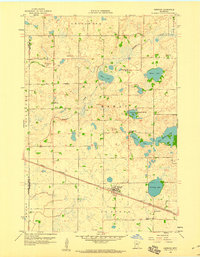
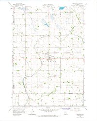
 1958 Raymond1960 Print · USGSCovers Kandiyohi County, including Willmar, Raymond, and other nearby areas2 unique versions available
 - 1958 Map of Pennock, 1960 Print
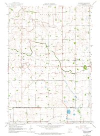
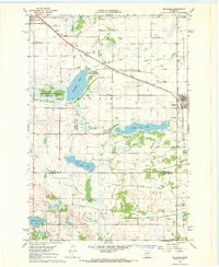
 1958 Pennock1960 Print · USGSCovers Kandiyohi County, including Willmar, Pennock, and other nearby areas2 unique versions available
 - 1958 Map of Willmar, 1960 Print
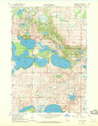
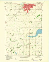 1958 Willmar1960 Print · USGSCovers Kandiyohi County, including Willmar, Svea, and other nearby areas3 unique versions available
 - 1958 Map of Solomon Lake, 1960 Print
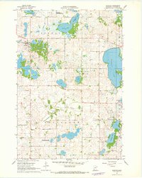
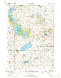
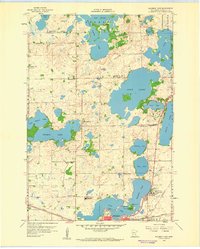 1958 Solomon Lake1960 Print · USGSCovers Kandiyohi County, including Willmar, United States, and other nearby areas3 unique versions available
 - 1965 Map of Blomkest, 1966 Print
 1965 Blomkest1966 Print · USGSCovers Kandiyohi County, including Roseland, Roseland, and other nearby areas
 - 1965 Map of Prinsburg, 1967 Print
 1965 Prinsburg1967 Print · USGSCovers Kandiyohi County, including Prinsburg, Crooks Township, and other nearby areas
 - 1967 Map of New Ulm
 1967 New Ulm1967 Print · USGSCovers Kandiyohi County, including Mankato, North Mankato, and other nearby areas
 - 1967 Map of Mount Tom, 1968 Print
 1967 Mount Tom1968 Print · USGSCovers Kandiyohi County, including United States, Minnesota, and other nearby areas2 unique versions available
 - 1967 Map of Sunburg, 1968 Print
 1967 Sunburg1968 Print · USGSCovers Kandiyohi County, including Norway Lake, Sunburg, and other nearby areas
 - 1967 Map of Belgrade, 1968 Print
 1967 Belgrade1968 Print · USGSCovers Kandiyohi County, including Belgrade, Brooten, and other nearby areas2 unique versions available
 - 1967 Map of Lake Johanna, 1968 Print
 1967 Lake Johanna1968 Print · USGSCovers Kandiyohi County, including Brooten, Stearns County, and other nearby areas2 unique versions available
 - 1967 Map of Georgeville, 1969 Print
 1967 Georgeville1969 Print · USGSCovers Kandiyohi County, including Belgrade, Georgeville, and other nearby areas
 - 1967 Map of Hawick, 1969 Print
 1967 Hawick1969 Print · USGSCovers Kandiyohi County, including Paynesville, Hawick, and other nearby areas
 - 1967 Map of Lake Henry, 1969 Print
 1967 Lake Henry1969 Print · USGSCovers Kandiyohi County, including Paynesville, Lake Henry, and other nearby areas
 - 1967 Map of New London, 1969 Print
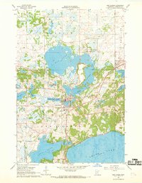 1967 New London1969 Print · USGSCovers Kandiyohi County, including New London, United States, and other nearby areas
 - 1968 Map of Lake Simon, 1970 Print
 1968 Lake Simon1970 Print · USGSCovers Kandiyohi County, including Pope County, Swift County, and other nearby areas2 unique versions available
Showing maps 1-25 of 36
Top cities of Kandiyohi County
- Willmar historical maps
- New London historical maps
- Spicer historical maps
- Atwater historical maps
- Raymond historical maps
- Kandiyohi historical maps
See more
Frequently asked questions
- What are the different types of historical maps available for Kandiyohi County?
- What is the oldest map of Kandiyohi County?
- Where can I purchase historical maps of Kandiyohi County for my home or office?
- Where can I download high-res historical maps of Kandiyohi County?
- Are there historical topographic maps available for Kandiyohi County?
- Is there historical aerial imagery available for Kandiyohi County?
- Where are historical maps of Kandiyohi County sourced from?