Old Maps of Saint Henry, Minnesota for Academic Research
Study the evolution of Saint Henry with 9 high-resolution historic maps. Whether you're teaching, researching, or modeling changes in land use, these maps provide essential visual documentation of urban, environmental, and geographic change.
- Analyze long-term change: Track patterns in development, transportation, and natural features.
- Ideal for environmental or urban studies: Support academic projects with primary historical map data.
- Use in the classroom or lab: Educators and researchers rely on these maps to bring historical context to life.
These maps are a powerful tool for teaching, research, and visualizing how Saint Henry has changed over the decades.
Saint Henry, MN maps
(9)- 1953 Map of Saint Paul, 1964 Print
 1953 Saint Paul1964 Print · USGSThe Twin Cities and the Mississippi River valley are captured here at a mid-century turning point. Trace the early growth of Minneapolis and Saint Paul alongside landmarks like Lake Minnetonka and the St Croix River.4 unique versions available
 - 1959 Map of Saint Paul
 1959 Saint Paul1959 Print · USGSThe Twin Cities and southeastern Minnesota appear here in the late fifties, showing the peak of the rail era and post-war suburban growth. Genealogists can trace family footprints near Lake Minnetonka, the Univ Of Minn Rosemount Research Center, or the growing neighborhoods of Richfield.2 unique versions available
 - 1965 Map of St Thomas, 1966 Print
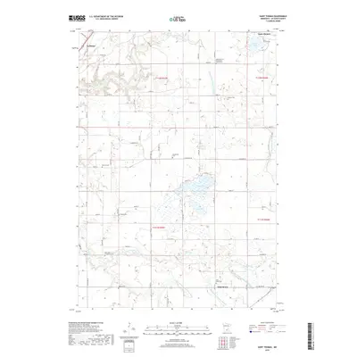
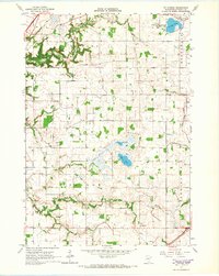 1965 St Thomas1966 Print · USGSLe Sueur County in the mid-1960s reveals a deeply settled agricultural landscape shaped by its early townships and prairie lakes. Genealogists and local historians can locate numerous family burial sites like Dresselville Cem and Hillside Cem, or trace the old rail corridor of the Chicago Milwaukee St Paul and Pacific.2 unique versions available
 - 1985 Map of Faribault, 1986 Print
 1985 Faribault1986 Print · USGSThe Minnesota River valley and the glacial lake country of Rice and Le Sueur counties are shown here in the mid-1980s. Researchers can trace the academic grounds of St Olaf College or find old crossroads like Trondhjem and Little Chicago.2 unique versions available
 - 2010 Map of Saint Thomas, 2010 Print
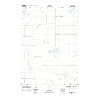 2010 Saint Thomas2010 Print · USGSCovers Saint Henry, including Le Sueur, Saint Thomas, and other nearby areas
 - 2013 Map of Saint Thomas, 2013 Print
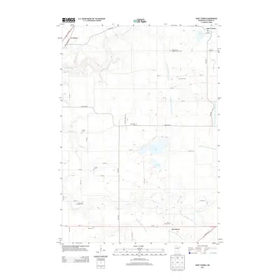 2013 Saint Thomas2013 Print · USGSCovers Saint Henry, including Le Sueur, Saint Thomas, and other nearby areas
 - 2016 Map of Saint Thomas, 2016 Print
 2016 Saint Thomas2016 Print · USGSCovers Saint Henry, including Le Sueur, Saint Thomas, and other nearby areas
 - 2019 Map of Saint Thomas, 2019 Print
 2019 Saint Thomas2019 Print · USGSCovers Saint Henry, including Le Sueur, Saint Thomas, and other nearby areas
 - 2022 Map of Saint Thomas, 2022 Print
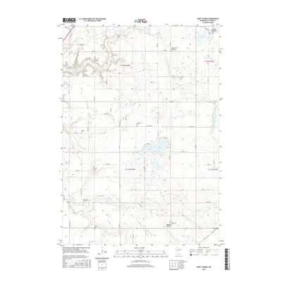
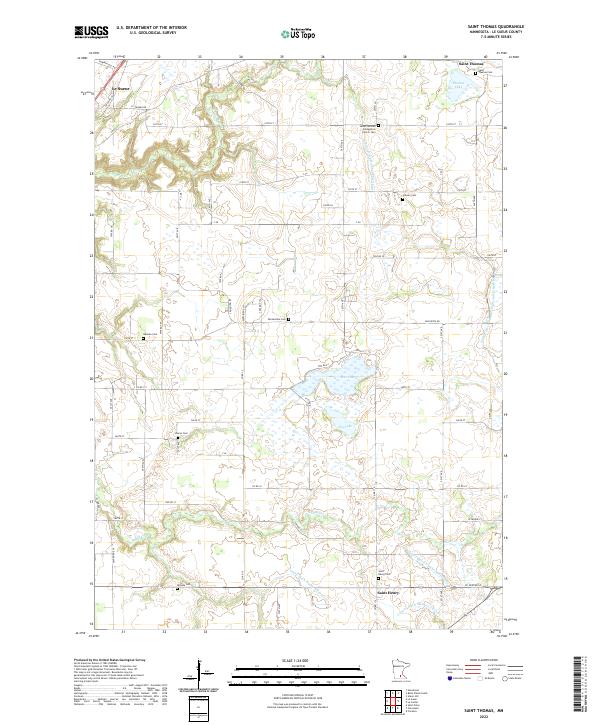 2022 Saint Thomas2022 Print · USGSLe Sueur County at the start of the 2020s remains a landscape of deep-rooted family history and complex water management. Researchers can trace dozens of early pioneer sites, from the Salem German Evangelical Church to family-named landmarks like Dresselville Cem and Thomas Lake.
End of results
Showing maps 1-9 of 9
Top cities near Saint Henry
- Mankato historical maps
- North Mankato historical maps
- Saint Peter historical maps
- New Prague historical maps
- Belle Plaine historical maps
- Le Sueur historical maps
See more
Frequently asked questions
- What are the different types of historical maps available for Saint Henry?
- What is the oldest map of Saint Henry?
- Where can I purchase historical maps of Saint Henry for my home or office?
- Where can I download high-res historical maps of Saint Henry?
- Are there historical topographic maps available for Saint Henry?
- Is there historical aerial imagery available for Saint Henry?
- Where are historical maps of Saint Henry sourced from?