2000s (21st Century) Maps of South Harbor Township, Minnesota
Explore 20 historic maps of South Harbor Township from the 2000s (21st Century). These maps offer a rare glimpse into what life looked like during the 2000s — showing old roads, neighborhoods, homes, and landmarks that have changed or disappeared over time.
Whether you're researching your family's past, planning a metal detecting trip, or studying how South Harbor Township's landscape evolved across the 2000s, these high-resolution maps are a powerful tool for exploring the history of this region.
- Focus on a specific era: All maps on this page are from the 2000s, giving you a focused view of this time period.
- See what’s changed: Compare century-old streets, trails, and buildings to today's modern landscape using overlays and satellite layers.
- Research with precision: Use these maps for genealogy, historical research, land use analysis, or educational projects.
- View, download, or print: Maps are fully viewable online in high resolution, and can be downloaded or printed for your own records.
Start exploring South Harbor Township's history through authentic maps from the 2000s. This is your window into the past.
South Harbor Township, MN maps
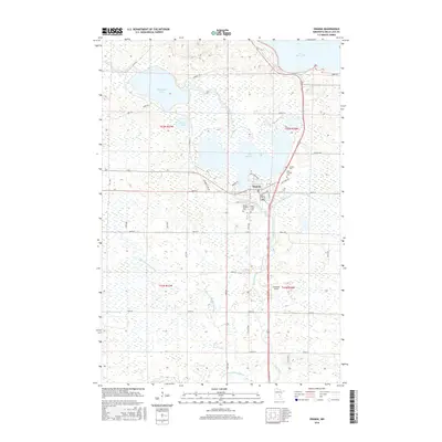
(20)- 2010 Map of Onamia, 2010 Print
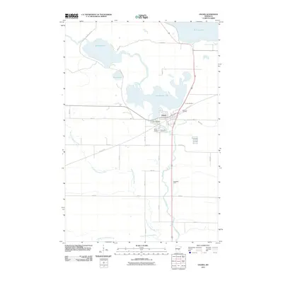 2010 Onamia2010 Print · USGSCovers South Harbor Township, including Onamia, Onamia Township, and other nearby areas
 - 2010 Map of Onamia NW, 2010 Print
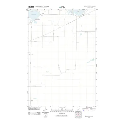
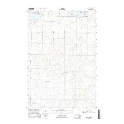
 2010 Onamia NW2010 Print · USGSCovers South Harbor Township, including Kathio Township, Mille Lacs County, and other nearby areas
 - 2010 Map of Wahkon South, 2010 Print
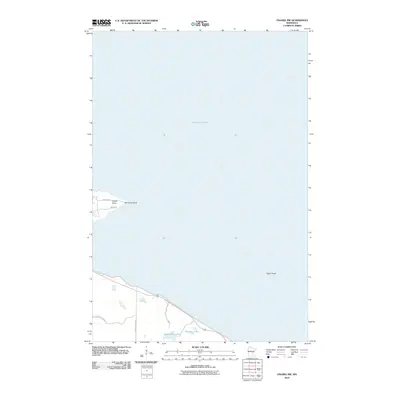
 2010 Wahkon South2010 Print · USGSCovers South Harbor Township, including Wahkon, Lewis Township, and other nearby areas
 - 2010 Map of Wahkon North, 2010 Print
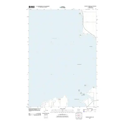 2010 Wahkon North2010 Print · USGSCovers South Harbor Township, including Wahkon, East Side Township, and other nearby areas
 - 2013 Map of Onamia NW, 2013 Print
 2013 Onamia NW2013 Print · USGSCovers South Harbor Township, including Kathio Township, Mille Lacs County, and other nearby areas
 - 2013 Map of Wahkon South, 2013 Print
 2013 Wahkon South2013 Print · USGSCovers South Harbor Township, including Wahkon, Lewis Township, and other nearby areas
 - 2013 Map of Wahkon North, 2013 Print
 2013 Wahkon North2013 Print · USGSCovers South Harbor Township, including Wahkon, East Side Township, and other nearby areas
 - 2013 Map of Onamia, 2013 Print
 2013 Onamia2013 Print · USGSCovers South Harbor Township, including Onamia, Onamia Township, and other nearby areas
 - 2016 Map of Onamia NW, 2016 Print
 2016 Onamia NW2016 Print · USGSCovers South Harbor Township, including Kathio Township, Mille Lacs County, and other nearby areas
 - 2016 Map of Onamia, 2016 Print
 2016 Onamia2016 Print · USGSCovers South Harbor Township, including Onamia, Onamia Township, and other nearby areas
 - 2016 Map of Wahkon North, 2016 Print
 2016 Wahkon North2016 Print · USGSCovers South Harbor Township, including Wahkon, East Side Township, and other nearby areas
 - 2016 Map of Wahkon South, 2016 Print
 2016 Wahkon South2016 Print · USGSCovers South Harbor Township, including Wahkon, Lewis Township, and other nearby areas
 - 2019 Map of Onamia NW, 2019 Print
 2019 Onamia NW2019 Print · USGSCovers South Harbor Township, including Kathio Township, Mille Lacs County, and other nearby areas
 - 2019 Map of Onamia, 2019 Print
 2019 Onamia2019 Print · USGSCovers South Harbor Township, including Onamia, Onamia Township, and other nearby areas
 - 2019 Map of Wahkon South, 2019 Print
 2019 Wahkon South2019 Print · USGSCovers South Harbor Township, including Wahkon, Lewis Township, and other nearby areas
 - 2019 Map of Wahkon North, 2019 Print
 2019 Wahkon North2019 Print · USGSCovers South Harbor Township, including Wahkon, East Side Township, and other nearby areas
 - 2022 Map of Wahkon North, 2022 Print
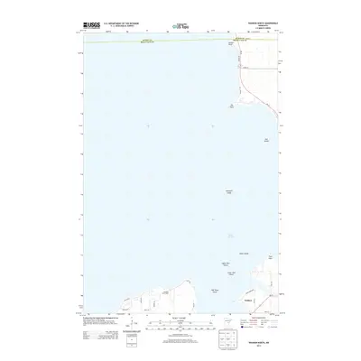
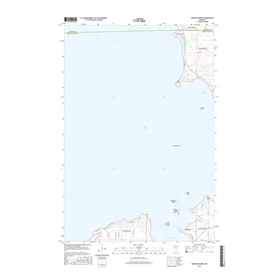
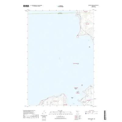
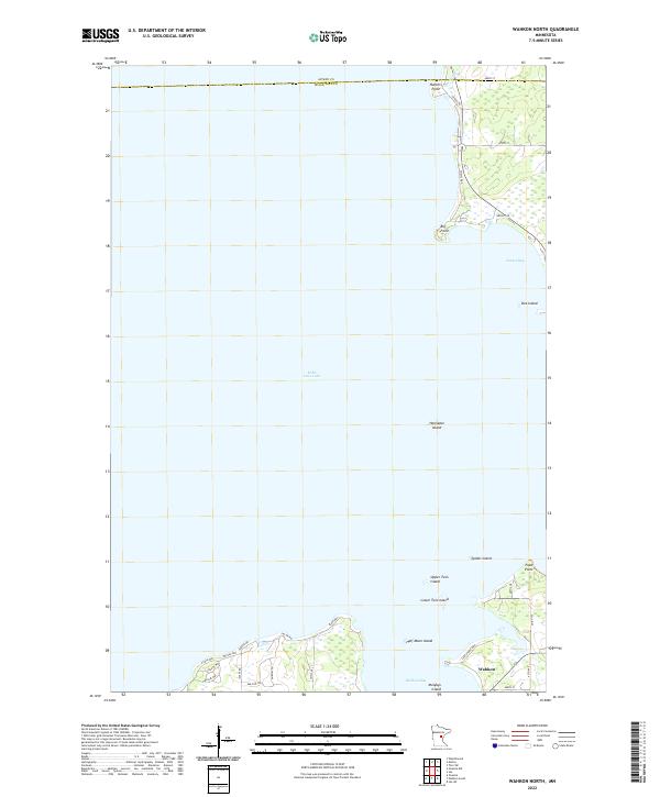 2022 Wahkon North2022 Print · USGSThe southern shores of Mille Lacs Lake come into focus in this contemporary survey of the area around Wahkon. Researchers can trace the modern road networks and coastal landmarks like Hennepin Island, Wahkon Bay, and the residential layouts near Big Point.
 - 2022 Map of Wahkon South, 2022 Print
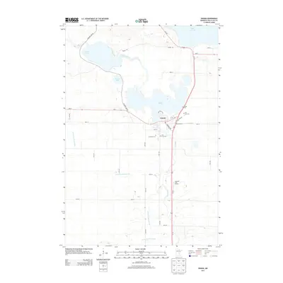
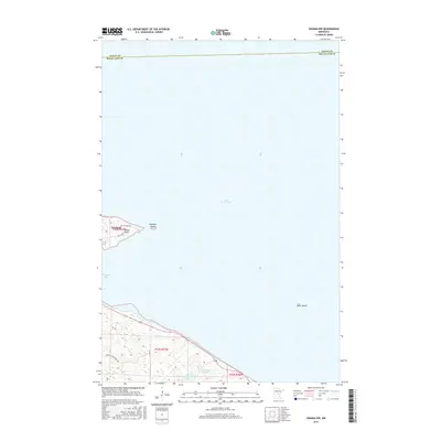
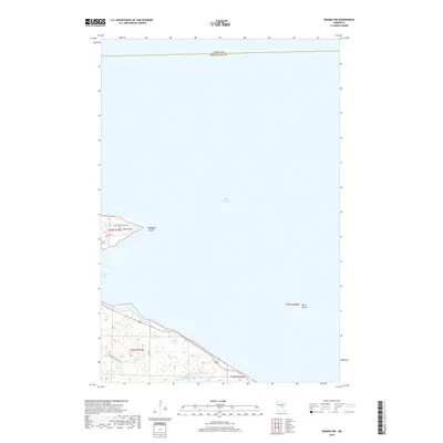
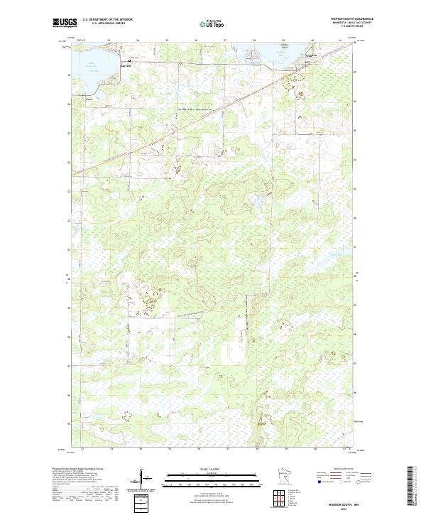 2022 Wahkon South2022 Print · USGSThe southern shores of Mille Lacs Lake are captured here in the early 2020s, showing the intersection of lakefront settlements and recreational trails. Genealogists and local historians can trace the Soo Line South: Mille Lacs Trl past Foster Cem and through the community of Wahkon.
 - 2022 Map of Onamia, 2022 Print
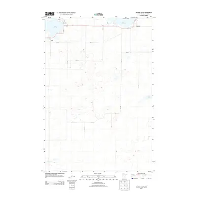
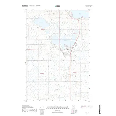
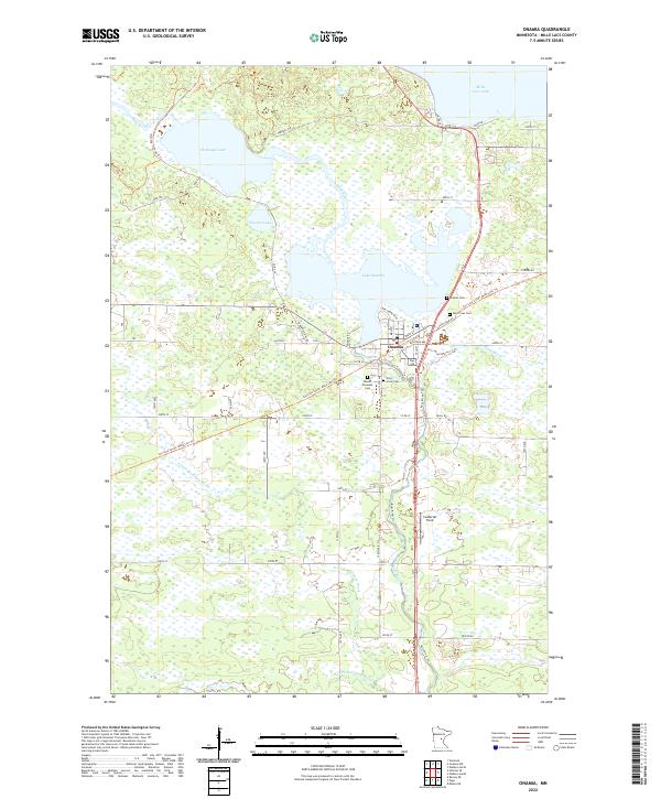 2022 Onamia2022 Print · USGSThe Mille Lacs lake country is captured here during the early 2020s, centered on the historic rail corridor and river headwaters. Researchers can trace local lineage at Crosier Cemetery or follow the legacy of the railroad along the Soo Line South: Mille Lacs Trail.
 - 2022 Map of Onamia NW, 2022 Print
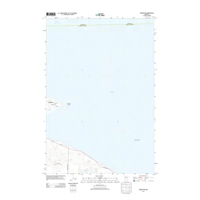
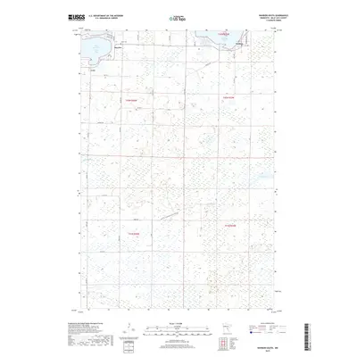
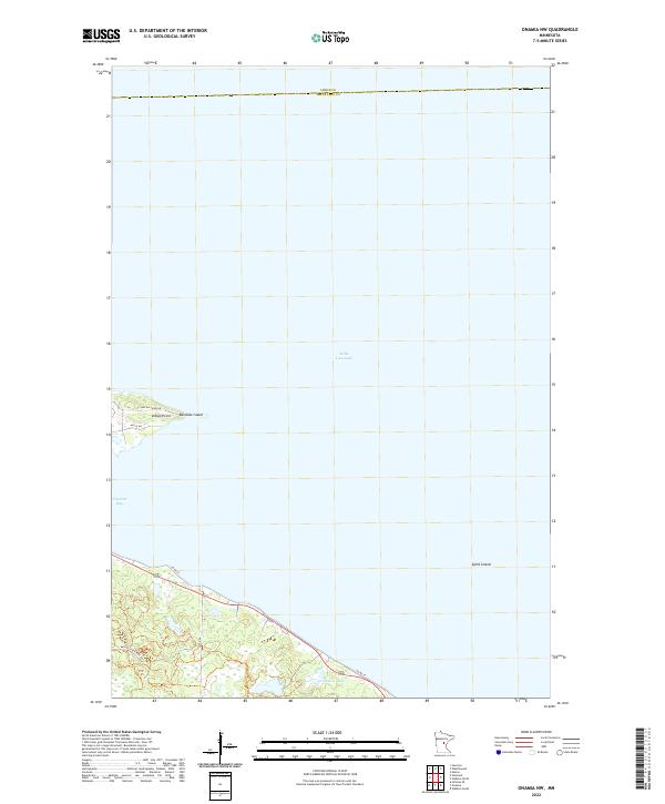 2022 Onamia NW2022 Print · USGSThe southwestern reaches of Mille Lacs Lake are captured here in the early twenty-first century, highlighting a landscape defined by water and woods. Local researchers can trace lakeside development around Indian Point and locate landmarks like Spirit Island and Tamarac Lake.
End of results
Showing maps 1-20 of 20
Top cities near South Harbor Township
Top neighborhoods of South Harbor Township
Frequently asked questions
- What are the different types of historical maps available for South Harbor Township?
- What is the oldest map of South Harbor Township?
- Where can I purchase historical maps of South Harbor Township for my home or office?
- Where can I download high-res historical maps of South Harbor Township?
- Are there historical topographic maps available for South Harbor Township?
- Is there historical aerial imagery available for South Harbor Township?
- Where are historical maps of South Harbor Township sourced from?