2000s (21st Century) Maps of Ramsey County, Minnesota
Explore 30 historic maps of Ramsey County from the 2000s (21st Century). These maps offer a rare glimpse into what life looked like during the 2000s — showing old roads, neighborhoods, homes, and landmarks that have changed or disappeared over time.
Whether you're researching your family's past, planning a metal detecting trip, or studying how Ramsey County's landscape evolved across the 2000s, these high-resolution maps are a powerful tool for exploring the history of this region.
- Focus on a specific era: All maps on this page are from the 2000s, giving you a focused view of this time period.
- See what’s changed: Compare century-old streets, trails, and buildings to today's modern landscape using overlays and satellite layers.
- Research with precision: Use these maps for genealogy, historical research, land use analysis, or educational projects.
- View, download, or print: Maps are fully viewable online in high resolution, and can be downloaded or printed for your own records.
Start exploring Ramsey County's history through authentic maps from the 2000s. This is your window into the past.
Ramsey County, MN maps
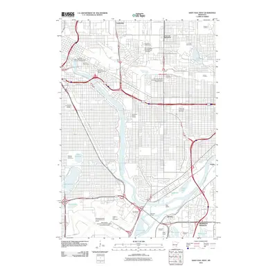
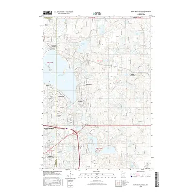
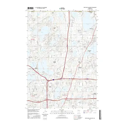
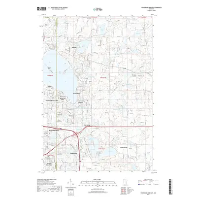
(30)- 2010 Map of White Bear Lake East, 2010 Print
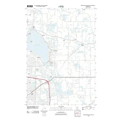 2010 White Bear Lake East2010 Print · USGSCovers Ramsey County, including Maplewood, White Bear Lake, and other nearby areas
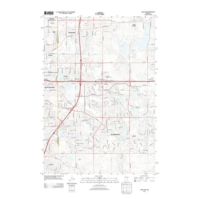
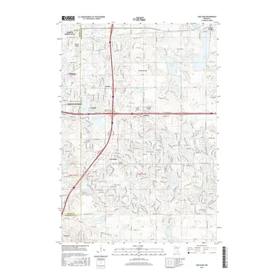
 - 2010 Map of Lake Elmo, 2010 Print
 2010 Lake Elmo2010 Print · USGSCovers Ramsey County, including Woodbury, Maplewood, and other nearby areas
 - 2010 Map of White Bear Lake West, 2010 Print
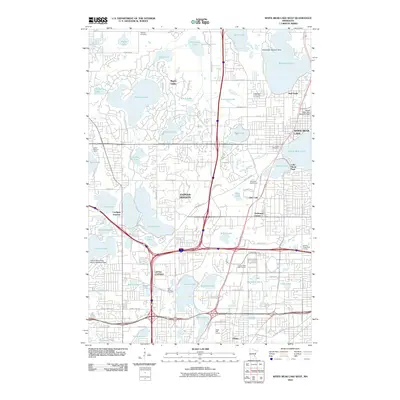 2010 White Bear Lake West2010 Print · USGSCovers Ramsey County, including Maplewood, Roseville, and other nearby areas
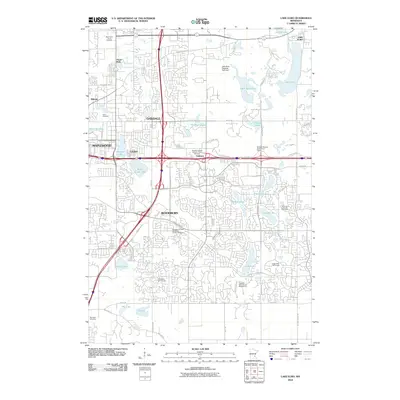
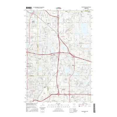
 - 2010 Map of New Brighton, 2010 Print
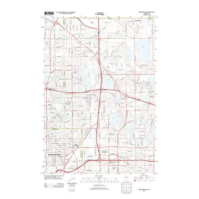
 2010 New Brighton2010 Print · USGSCovers Ramsey County, including Minneapolis, Blaine, and other nearby areas
 - 2010 Map of Saint Paul West, 2010 Print
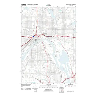
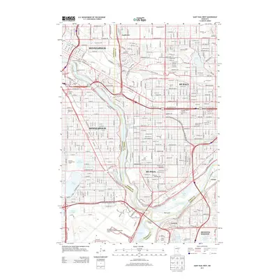
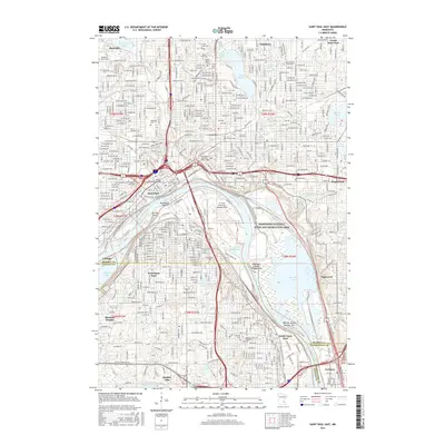
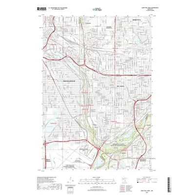
 2010 Saint Paul West2010 Print · USGSCovers Ramsey County, including Minneapolis, Saint Paul, and other nearby areas
 - 2010 Map of Saint Paul East, 2010 Print
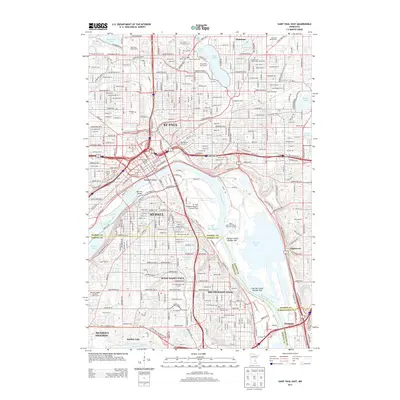
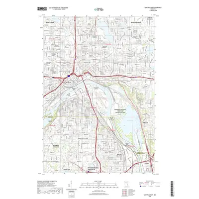
 2010 Saint Paul East2010 Print · USGSCovers Ramsey County, including Saint Paul, Maplewood, and other nearby areas
 - 2013 Map of White Bear Lake West, 2013 Print
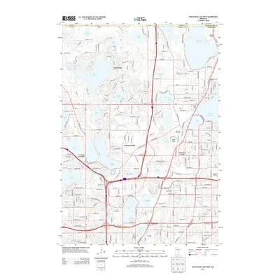 2013 White Bear Lake West2013 Print · USGSCovers Ramsey County, including Maplewood, Roseville, and other nearby areas
 - 2013 Map of White Bear Lake East, 2013 Print
 2013 White Bear Lake East2013 Print · USGSCovers Ramsey County, including Maplewood, White Bear Lake, and other nearby areas
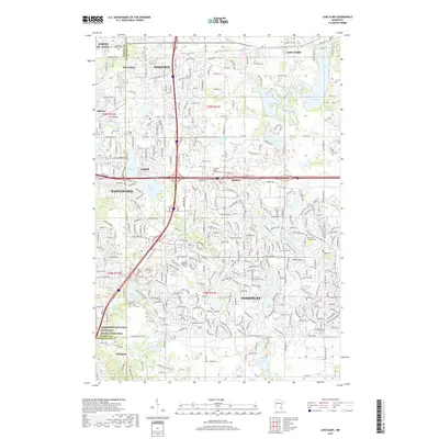
 - 2013 Map of Lake Elmo, 2013 Print
 2013 Lake Elmo2013 Print · USGSCovers Ramsey County, including Woodbury, Maplewood, and other nearby areas
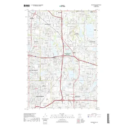
 - 2013 Map of New Brighton, 2013 Print
 2013 New Brighton2013 Print · USGSCovers Ramsey County, including Minneapolis, Blaine, and other nearby areas
 - 2013 Map of Saint Paul West, 2013 Print
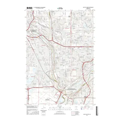
 2013 Saint Paul West2013 Print · USGSCovers Ramsey County, including Minneapolis, Saint Paul, and other nearby areas
 - 2013 Map of Saint Paul East, 2013 Print
 2013 Saint Paul East2013 Print · USGSCovers Ramsey County, including Saint Paul, Maplewood, and other nearby areas
 - 2016 Map of Saint Paul East, 2016 Print
 2016 Saint Paul East2016 Print · USGSCovers Ramsey County, including Saint Paul, Maplewood, and other nearby areas
 - 2016 Map of Saint Paul West, 2016 Print
 2016 Saint Paul West2016 Print · USGSCovers Ramsey County, including Minneapolis, Saint Paul, and other nearby areas
 - 2016 Map of White Bear Lake East, 2016 Print
 2016 White Bear Lake East2016 Print · USGSCovers Ramsey County, including Maplewood, White Bear Lake, and other nearby areas
 - 2016 Map of Lake Elmo, 2016 Print
 2016 Lake Elmo2016 Print · USGSCovers Ramsey County, including Woodbury, Maplewood, and other nearby areas
 - 2016 Map of White Bear Lake West, 2016 Print
 2016 White Bear Lake West2016 Print · USGSCovers Ramsey County, including Maplewood, Roseville, and other nearby areas
 - 2016 Map of New Brighton, 2016 Print
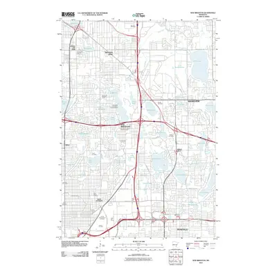
 2016 New Brighton2016 Print · USGSCovers Ramsey County, including Minneapolis, Blaine, and other nearby areas
 - 2019 Map of New Brighton, 2019 Print
 2019 New Brighton2019 Print · USGSCovers Ramsey County, including Minneapolis, Blaine, and other nearby areas
 - 2019 Map of Lake Elmo, 2019 Print
 2019 Lake Elmo2019 Print · USGSCovers Ramsey County, including Woodbury, Maplewood, and other nearby areas
 - 2019 Map of Saint Paul West, 2019 Print
 2019 Saint Paul West2019 Print · USGSCovers Ramsey County, including Minneapolis, Saint Paul, and other nearby areas
 - 2019 Map of Saint Paul East, 2019 Print
 2019 Saint Paul East2019 Print · USGSCovers Ramsey County, including Saint Paul, Maplewood, and other nearby areas
 - 2019 Map of White Bear Lake East, 2019 Print
 2019 White Bear Lake East2019 Print · USGSCovers Ramsey County, including Maplewood, White Bear Lake, and other nearby areas
 - 2019 Map of White Bear Lake West, 2019 Print
 2019 White Bear Lake West2019 Print · USGSCovers Ramsey County, including Maplewood, Roseville, and other nearby areas
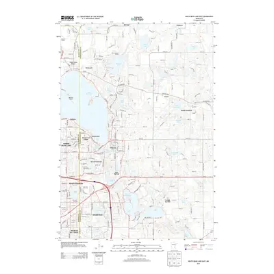
 - 2022 Map of White Bear Lake West, 2022 Print
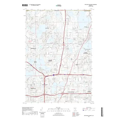
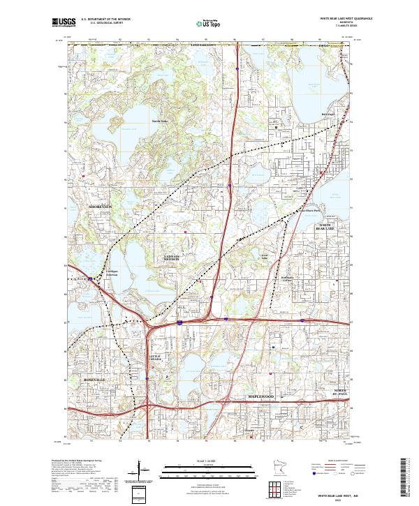 2022 White Bear Lake West2022 Print · USGSRamsey County's northern lakes and suburbs are shown in high detail during this contemporary period of growth and preservation. Researchers can locate family landmarks like Saint Johns Cem or trace the legacy of rail and road at Cardigan Junction and along the BNSF Railway.
Showing maps 1-25 of 30
Top cities of Ramsey County
- Saint Paul historical maps
- Maplewood historical maps
- Roseville historical maps
- Shoreview historical maps
- White Bear Lake historical maps
- New Brighton historical maps
See more
Frequently asked questions
- What are the different types of historical maps available for Ramsey County?
- What is the oldest map of Ramsey County?
- Where can I purchase historical maps of Ramsey County for my home or office?
- Where can I download high-res historical maps of Ramsey County?
- Are there historical topographic maps available for Ramsey County?
- Is there historical aerial imagery available for Ramsey County?
- Where are historical maps of Ramsey County sourced from?