Old Maps of Fairfax, Minnesota
Explore 11 old maps of Fairfax, spanning from 1953 to today. These high-resolution historic maps reveal how streets, neighborhoods, landmarks, and natural features evolved over time — perfect for genealogy, metal detecting, research, and local history exploration.
What you can do with these maps:
- See how Fairfax changed over time: Compare historical maps to modern-day views to trace roads, homesites, rail lines & more.
- View detailed metadata: Each map includes creators, publishers, year, scale, and archive source.
- Overlay maps with satellite & LiDAR: Visualize the past alongside modern tools to explore terrain & human change.
- Trusted historical sources: Maps sourced from the USGS, Library of Congress, and other archives.
- Access maps your way: View online, download high-res files, or order prints for personal or research use.
Start exploring old maps of Fairfax to uncover forgotten places, hidden landmarks, and the deep history beneath your feet.
Fairfax, MN maps
(11)- 1953 Map of New Ulm, 1968 Print
 1953 New Ulm1968 Print · USGSSouthern Minnesota in the mid-1950s is defined by its deep river valleys and the expanding reach of the Great Northern and Chicago and North Western railroads. Researchers can trace rural lineages through landmarks like the Milford State Monument, St. John's Ch, and the Upper Sioux Indian Res.3 unique versions available
 - 1957 Map of New Ulm
 1957 New Ulm1957 Print · USGSCentral Minnesota in the mid-fifties remains a landscape of river-valley commerce and prairie agriculture defined by its historic mission sites and rail towns. Genealogists and local historians can trace the development of New Ulm and Montevideo, or locate specific landmarks like the Milford State Monument and Minnesota Falls.
 - 1958 Map of New Ulm
 1958 New Ulm1958 Print · USGSSouth-central Minnesota’s river valleys and prairie towns are captured here in the mid-fifties, during the height of the region's rail-and-river economy. Genealogists and historians can trace the legacy of the Upper Sioux Indian Mission or locate early rail stops along the Chicago and North Western Ry in towns like Redwood Falls and Glencoe.
 - 1964 Map of Fairfax, 1965 Print
 1964 Fairfax1965 Print · USGSRenville County farmland was undergoing steady development in the mid-1960s as drainage systems transformed the prairie. Researchers can locate the Wellington Sch, trace the Chicago and North Western rail line, and find family names near St Andrews Cem.
 - 1967 Map of New Ulm
 1967 New Ulm1967 Print · USGSSouthern Minnesota in the mid-fifties is captured here as a landscape of river-valley missions and busy prairie rail towns. Researchers can trace the Yellow Medicine Trail and locate historic sites like the Morton Indian Mission and Milford State Monument.
 - 1986 Map of Glencoe
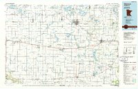 1986 Glencoe1986 Print · USGSThe south-central Minnesota prairie and its glacial lake basins are captured here in the mid-1980s, showcasing a landscape of intensive farming and conservation. Genealogists can locate family-named landmarks and trace the rail lines of the Soo Line and Chicago and North Western through towns like Gaylord, Olivia, and Hutchinson.2 unique versions available
 - 2010 Map of Fairfax, 2010 Print
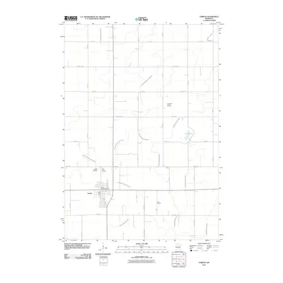 2010 Fairfax2010 Print · USGSFairfax and its surrounding farmlands are captured here in the early twenty-first century, showing a landscape defined by industrial agriculture and rural drainage. Genealogists can locate several local burial sites including Cairo Cemetery and the Evangelical Lutheran Cemetery.
 - 2013 Map of Fairfax, 2013 Print
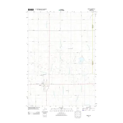 2013 Fairfax2013 Print · USGSFairfax and its surrounding farmlands are captured in this 2013 survey, showing the town's layout and the extensive drainage systems of Renville County. Genealogists can locate several burial sites including Saint Andrews Cem, Cairo Cem, and the Evangelical Lutheran Cem.
 - 2016 Map of Fairfax, 2016 Print
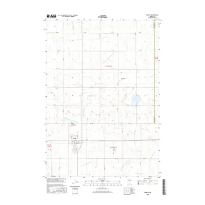 2016 Fairfax2016 Print · USGSFairfax and the surrounding prairie of Renville County appear in the mid-2010s as a testament to Minnesota's agricultural engineering. Researchers can trace local heritage through sites like Saint Andrews Cem, Cairo Cem, and the waters of Round Lake.
 - 2019 Map of Fairfax, 2019 Print
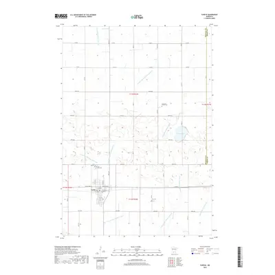 2019 Fairfax2019 Print · USGSThe town of Fairfax and its surrounding agricultural townships are documented here during the late 2010s. Genealogists can locate several local burial sites including Cairo Cem, Saint Andrews Cem, and the Evangelical Lutheran Cem.
 - 2022 Map of Fairfax, 2022 Print
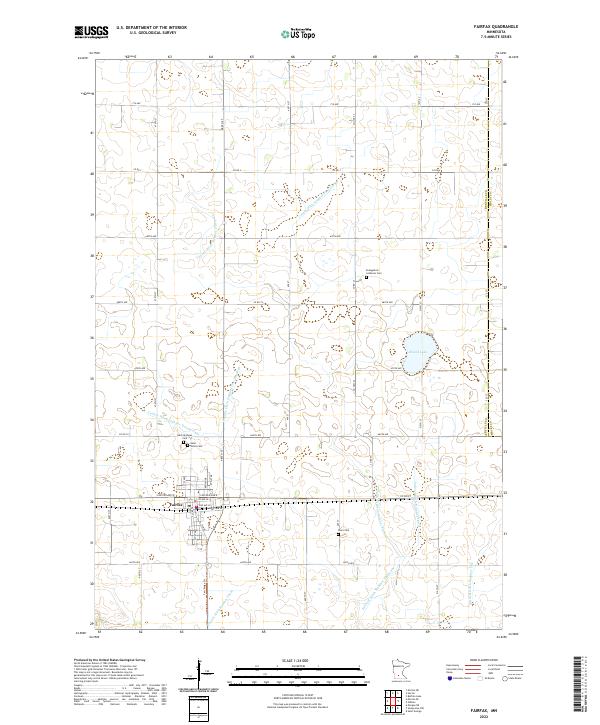 2022 Fairfax2022 Print · USGSFairfax and the surrounding prairie of Renville County are shown here in the early twenty-first century, revealing a landscape deeply shaped by agricultural engineering. Local historians can trace family burial sites at Saint Andrews Cem and Cairo Cem while following the intricate paths of Judicial Ditch Number Thirty.
End of results
Showing maps 1-11 of 11
Top cities near Fairfax
- New Ulm historical maps
- Sleepy Eye historical maps
- Hector historical maps
- Morgan historical maps
- Buffalo Lake historical maps
- Gibbon historical maps
See more
Top neighborhoods of Fairfax
Frequently asked questions
- What are the different types of historical maps available for Fairfax?
- What is the oldest map of Fairfax?
- Where can I purchase historical maps of Fairfax for my home or office?
- Where can I download high-res historical maps of Fairfax?
- Are there historical topographic maps available for Fairfax?
- Is there historical aerial imagery available for Fairfax?
- Where are historical maps of Fairfax sourced from?