Old Maps of Olivia, Minnesota for Hiking & Exploration
Hike through history with 19 historic maps of Olivia. Explore old trails, ghost towns, and forgotten backroads — perfect for outdoor adventurers and local explorers.
- Rediscover forgotten places: Map out old mining camps, roads, and footpaths that no longer exist on modern maps.
- Layer with modern tools: Combine with LiDAR or satellite views to plan hikes through historical terrain.
- Made for exploration: Popular among hikers, overlanders, and local history lovers.
Use these maps to find adventure and explore the hidden past of Olivia.
Olivia, MN maps
(19)- 1953 Map of New Ulm, 1968 Print
 1953 New Ulm1968 Print · USGSSouthern Minnesota in the mid-1950s is defined by its deep river valleys and the expanding reach of the Great Northern and Chicago and North Western railroads. Researchers can trace rural lineages through landmarks like the Milford State Monument, St. John's Ch, and the Upper Sioux Indian Res.3 unique versions available
 - 1957 Map of New Ulm
 1957 New Ulm1957 Print · USGSCentral Minnesota in the mid-fifties remains a landscape of river-valley commerce and prairie agriculture defined by its historic mission sites and rail towns. Genealogists and local historians can trace the development of New Ulm and Montevideo, or locate specific landmarks like the Milford State Monument and Minnesota Falls.
 - 1957 Map of Olivia, 1959 Print
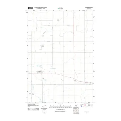
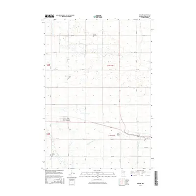
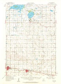 1957 Olivia1959 Print · USGSRenville and Kandiyohi Counties are shown during the late fifties, defined by a dense grid of farm roads and competing rail lines. Genealogists can locate family landmarks like Christina Cem, St Johns Ch, and the village of Olivia.
 - 1958 Map of New Ulm
 1958 New Ulm1958 Print · USGSSouth-central Minnesota’s river valleys and prairie towns are captured here in the mid-fifties, during the height of the region's rail-and-river economy. Genealogists and historians can trace the legacy of the Upper Sioux Indian Mission or locate early rail stops along the Chicago and North Western Ry in towns like Redwood Falls and Glencoe.
 - 1965 Map of Danube, 1966 Print
 1965 Danube1966 Print · USGSRenville County farmland is captured here in the mid-1960s, showing the vital intersection of rail and road through Danube. Researchers can trace old family sites near the United Brethren Cem or follow the path of the Chicago Milwaukee St Paul and Pacific railroad.
 - 1967 Map of New Ulm
 1967 New Ulm1967 Print · USGSSouthern Minnesota in the mid-fifties is captured here as a landscape of river-valley missions and busy prairie rail towns. Researchers can trace the Yellow Medicine Trail and locate historic sites like the Morton Indian Mission and Milford State Monument.
 - 1982 Map of Olivia, 1983 Print
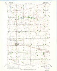
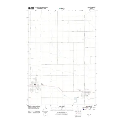
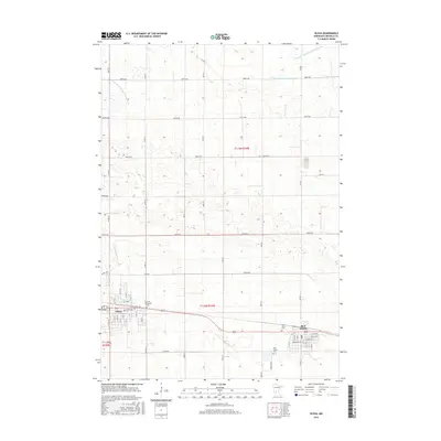
 1982 Olivia1983 Print · USGSRenville County farmland was well-established by the early eighties, centered on the corridor between Olivia and Bird Island. You can trace family history through sites like Bird Island Cem, St Aloysius Sch, and the local Courthouse.
 - 1986 Map of Montevideo
 1986 Montevideo1986 Print · USGSWestern Minnesota’s river valleys and prairie townships are captured here in the mid-eighties, showing the region's agricultural and rail network. Trace family roots and local history through Montevideo, Granite Falls, and the Upper Sioux Agency State Park.2 unique versions available
 - 1986 Map of Glencoe
 1986 Glencoe1986 Print · USGSThe south-central Minnesota prairie and its glacial lake basins are captured here in the mid-1980s, showcasing a landscape of intensive farming and conservation. Genealogists can locate family-named landmarks and trace the rail lines of the Soo Line and Chicago and North Western through towns like Gaylord, Olivia, and Hutchinson.2 unique versions available
 - 2010 Map of Danube, 2010 Print
 2010 Danube2010 Print · USGSCovers Olivia, including Danube, Crooks Township, and other nearby areas
 - 2010 Map of Olivia, 2010 Print
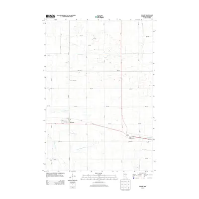
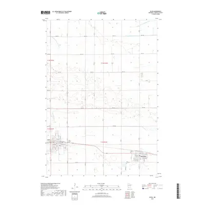
 2010 Olivia2010 Print · USGSCovers Olivia, including Bird Island, Meadowcrest Estates Mobile Home Park, and other nearby areas
 - 2013 Map of Danube, 2013 Print
 2013 Danube2013 Print · USGSCovers Olivia, including Danube, Crooks Township, and other nearby areas
 - 2013 Map of Olivia, 2013 Print
 2013 Olivia2013 Print · USGSCovers Olivia, including Bird Island, Meadowcrest Estates Mobile Home Park, and other nearby areas
 - 2016 Map of Danube, 2016 Print
 2016 Danube2016 Print · USGSCovers Olivia, including Danube, Crooks Township, and other nearby areas
 - 2016 Map of Olivia, 2016 Print
 2016 Olivia2016 Print · USGSCovers Olivia, including Bird Island, Meadowcrest Estates Mobile Home Park, and other nearby areas
 - 2019 Map of Danube, 2019 Print
 2019 Danube2019 Print · USGSCovers Olivia, including Danube, Crooks Township, and other nearby areas
 - 2019 Map of Olivia, 2019 Print
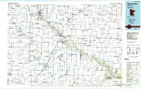
 2019 Olivia2019 Print · USGSCovers Olivia, including Bird Island, Meadowcrest Estates Mobile Home Park, and other nearby areas
 - 2022 Map of Danube, 2022 Print
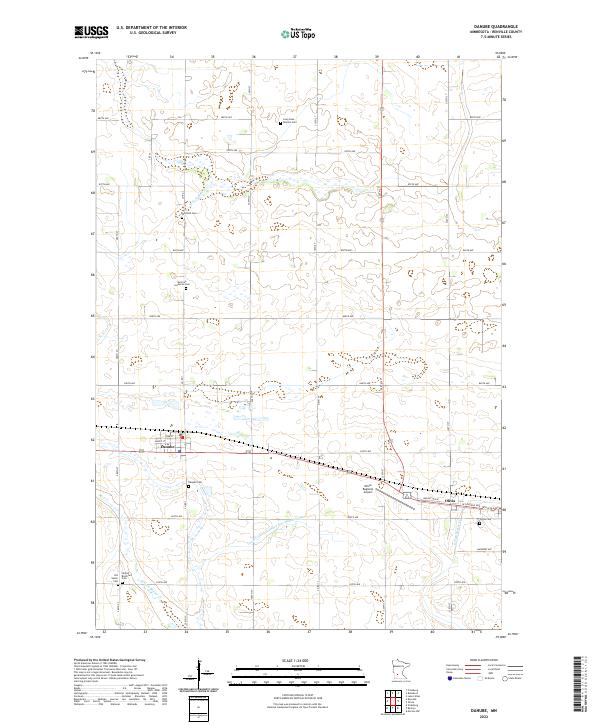 2022 Danube2022 Print · USGSRenville County farmland is captured here in the early twenty-first century, showing the grid-based settlement of Danube and Olivia. Family historians can locate numerous rural burial sites like Winfield Cem and United Brethren Cem.
 - 2022 Map of Olivia, 2022 Print
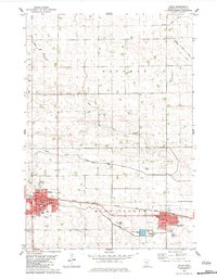
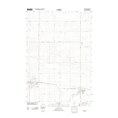
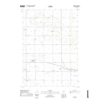
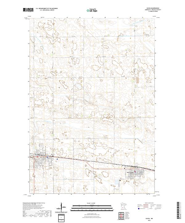 2022 Olivia2022 Print · USGSRenville County farmland is documented here in the early 2020s, centered on the local seat of government and the town of Bird Island. Researchers can locate the Renville County Courthouse and trace local genealogy through the Olivia German Cem and Saint Mary's Cem.
End of results
Showing maps 1-19 of 19
Top cities near Olivia
- Redwood Falls historical maps
- Renville historical maps
- Bird Island historical maps
- Roseland historical maps
- Roseland historical maps
- Danube historical maps
See more
Top neighborhoods of Olivia
Frequently asked questions
- What are the different types of historical maps available for Olivia?
- What is the oldest map of Olivia?
- Where can I purchase historical maps of Olivia for my home or office?
- Where can I download high-res historical maps of Olivia?
- Are there historical topographic maps available for Olivia?
- Is there historical aerial imagery available for Olivia?
- Where are historical maps of Olivia sourced from?