Old Maps of Magnolia Township, Minnesota for Metal Detecting
Plan your next treasure hunt with 27 historic maps of Magnolia Township. Find old homesites, ghost towns, trails, and gathering spots that may be lost to time — perfect for identifying promising metal detecting locations.
- Locate forgotten sites: Uncover places like long-lost settlements, abandoned rail lines, or gathering spots.
- Plan better hunts: Use map overlays combined with LiDAR or satellite views to narrow in on historically rich areas.
- Made for detectorists: Thousands of hobbyists use these maps to discover relics, coins, and hidden history.
Use these historic maps to boost your research and find new opportunities beneath the surface of Magnolia Township.
Magnolia Township, MN maps
(27)- 1955 Map of Sioux Falls, 1967 Print
 1955 Sioux Falls1967 Print · USGSThe eastern South Dakota and western Minnesota borderlands come alive in the mid-fifties, showing the vital rail-to-river connections of the era. Genealogists can trace family footprints across townships like Madison and Pipestone, while following the paths of the Big Sioux River and the Chicago and North Western line.3 unique versions available
 - 1958 Map of Sioux Falls
 1958 Sioux Falls1958 Print · USGSThe tri-state borderlands of South Dakota, Minnesota, and Iowa are captured here during the mid-century peak of the regional rail network. Genealogists and historians can trace local landmarks like Augustana Academy, the St Marys Cem, and the path of the Illinois Central through Rock Rapids.
 - 1967 Map of Magnolia, 1968 Print
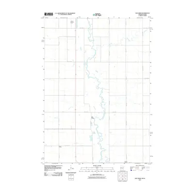
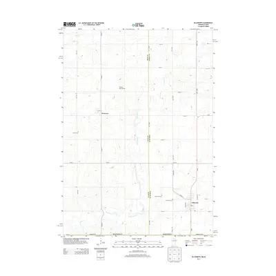
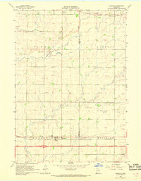 1967 Magnolia1968 Print · USGSSouthwestern Minnesota's prairie borderlands are captured in the late sixties as the modern interstate era arrived. Researchers can trace the legacy of early settlements via Kenneth, School No 60, and the older Chicago and North Western rail line.
 - 1967 Map of Ellsworth, 1969 Print
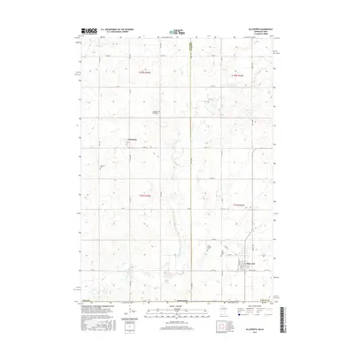
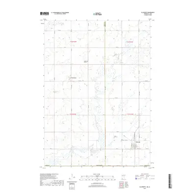
 1967 Ellsworth1969 Print · USGSThe Minnesota-Iowa borderlands near Ellsworth and Kanaranzi are captured here in the late sixties, showing a landscape defined by rail and agriculture. Genealogists and local historians can trace the Chicago Rock Island and Pacific line and family burial sites like Ashwood and St Marys Cem.
 - 1967 Map of Ash Creek, 1969 Print
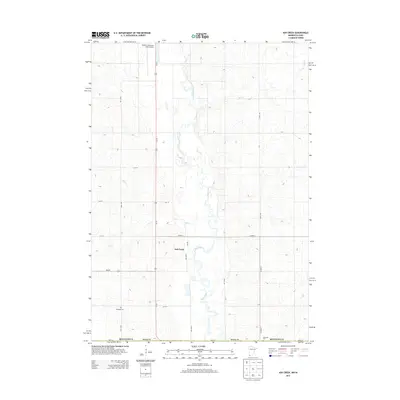
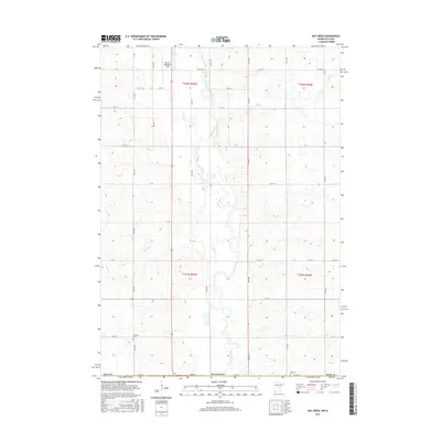
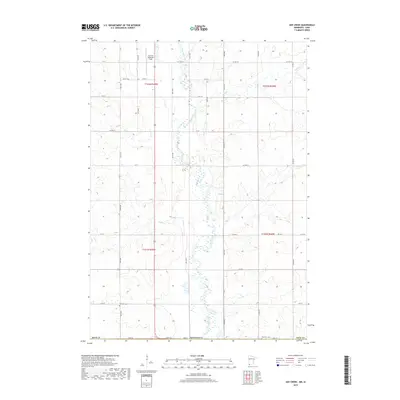
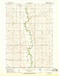 1967 Ash Creek1969 Print · USGSSouthwestern Minnesota and northwestern Iowa meet here in the late sixties along the winding Rock River. Genealogists and local historians can trace family farmsteads and rural infrastructure, including School No 1839, Ebenezer Ch, and the tiny settlement of Ash Creek.2 unique versions available
 - 1967 Map of Luverne, 1969 Print
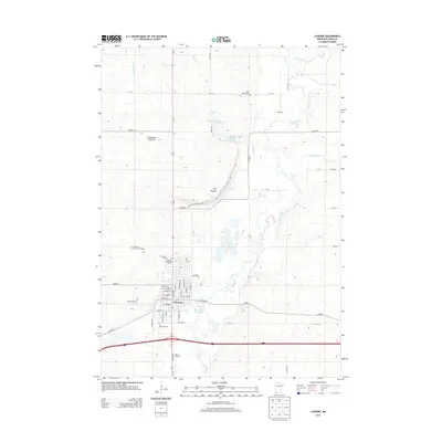
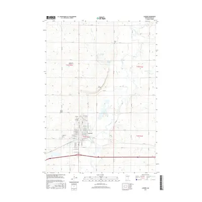
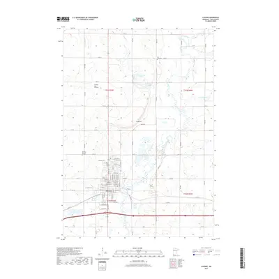
 1967 Luverne1969 Print · USGSRock County in the late sixties reveals a landscape of river-valley agriculture and rail-driven growth. Genealogists can trace family names at Restlawn Memorial Gardens or St Catherines Cem and locate local landmarks like the Drive-in Theater.2 unique versions available
 - 1985 Map of Sioux Falls
 1985 Sioux Falls1985 Print · USGSIn the mid-1980s, the borderlands of South Dakota, Minnesota, and Iowa reveal a landscape shaped by the Big Sioux River and a growing urban hub. Researchers can trace the development of Sioux Falls and locate smaller communities like Dell Rapids, Garretson, and Valley Springs.2 unique versions available
 - 2010 Map of Ash Creek, 2010 Print
 2010 Ash Creek2010 Print · USGSCovers Magnolia Township, including Allison Township, Ash Creek, and other nearby areas
 - 2010 Map of Ellsworth, 2010 Print
 2010 Ellsworth2010 Print · USGSCovers Magnolia Township, including Ellsworth, Kanaranzi, and other nearby areas
 - 2010 Map of Luverne, 2010 Print
 2010 Luverne2010 Print · USGSCovers Magnolia Township, including Luverne, Mound Township, and other nearby areas
 - 2010 Map of Magnolia, 2010 Print
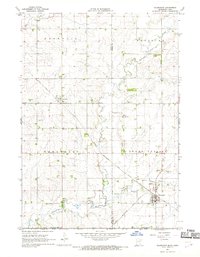
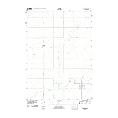
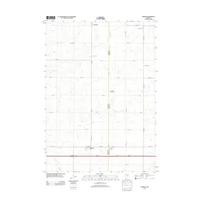
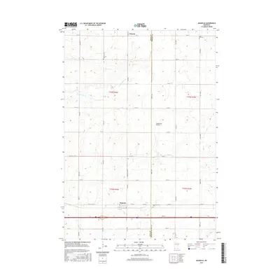
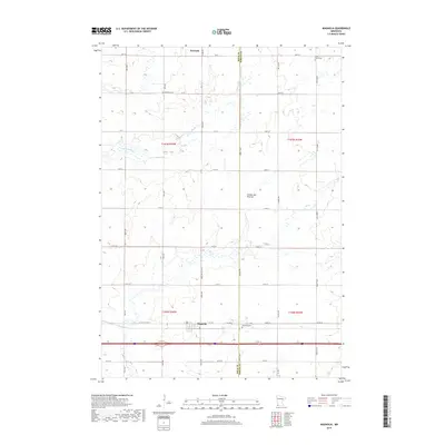
 2010 Magnolia2010 Print · USGSCovers Magnolia Township, including Magnolia, Kenneth, and other nearby areas
 - 2013 Map of Ellsworth, 2013 Print
 2013 Ellsworth2013 Print · USGSCovers Magnolia Township, including Ellsworth, Kanaranzi, and other nearby areas
 - 2013 Map of Magnolia, 2013 Print
 2013 Magnolia2013 Print · USGSCovers Magnolia Township, including Magnolia, Kenneth, and other nearby areas
 - 2013 Map of Ash Creek, 2013 Print
 2013 Ash Creek2013 Print · USGSCovers Magnolia Township, including Allison Township, Ash Creek, and other nearby areas
 - 2013 Map of Luverne, 2013 Print
 2013 Luverne2013 Print · USGSCovers Magnolia Township, including Luverne, Mound Township, and other nearby areas
 - 2016 Map of Ash Creek, 2016 Print
 2016 Ash Creek2016 Print · USGSCovers Magnolia Township, including Allison Township, Ash Creek, and other nearby areas
 - 2016 Map of Luverne, 2016 Print
 2016 Luverne2016 Print · USGSCovers Magnolia Township, including Luverne, Mound Township, and other nearby areas
 - 2016 Map of Magnolia, 2016 Print
 2016 Magnolia2016 Print · USGSCovers Magnolia Township, including Magnolia, Kenneth, and other nearby areas
 - 2016 Map of Ellsworth, 2016 Print
 2016 Ellsworth2016 Print · USGSCovers Magnolia Township, including Ellsworth, Kanaranzi, and other nearby areas
 - 2019 Map of Ash Creek, 2019 Print
 2019 Ash Creek2019 Print · USGSCovers Magnolia Township, including Allison Township, Ash Creek, and other nearby areas
 - 2019 Map of Ellsworth, 2019 Print
 2019 Ellsworth2019 Print · USGSCovers Magnolia Township, including Ellsworth, Kanaranzi, and other nearby areas
 - 2019 Map of Magnolia, 2019 Print
 2019 Magnolia2019 Print · USGSCovers Magnolia Township, including Magnolia, Kenneth, and other nearby areas
 - 2019 Map of Luverne, 2019 Print
 2019 Luverne2019 Print · USGSCovers Magnolia Township, including Luverne, Mound Township, and other nearby areas
 - 2022 Map of Magnolia, 2022 Print
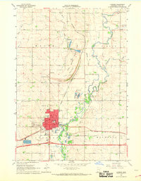
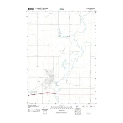
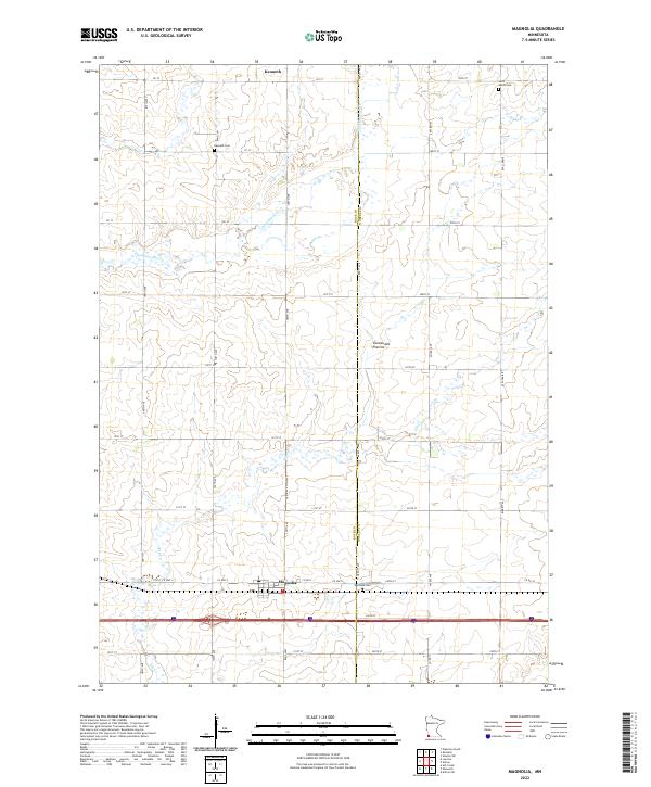 2022 Magnolia2022 Print · USGSSouthwestern Minnesota's prairie highlands are captured here in the early 2020s, showing the agricultural gridding of the Coteau des Prairies. Genealogists and local historians can trace the town sites of Magnolia and Kenneth, as well as Saint Marys Cem and Westside Cem.
 - 2022 Map of Luverne, 2022 Print
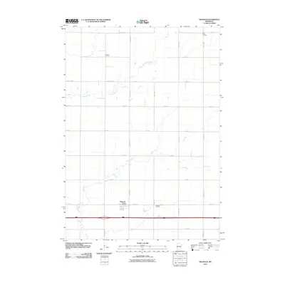
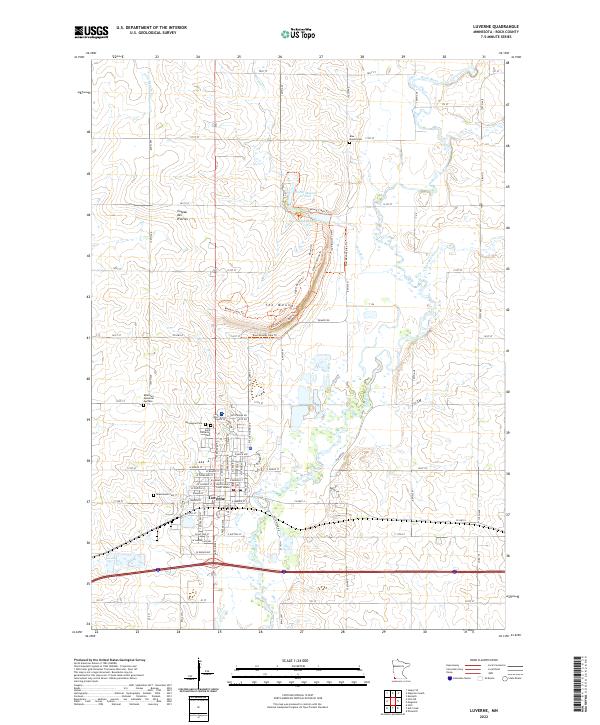 2022 Luverne2022 Print · USGSLuverne and the surrounding Rock County prairie are documented in the early twenty-first century, showing the community's relationship with the Rock River. Genealogists can locate several local burial grounds, including Maplewood Cem and Norwegian Cem, alongside landmarks like the Rock County Court House.
Showing maps 1-25 of 27
Top cities near Magnolia Township
- Luverne historical maps
- Rock Rapids historical maps
- Adrian historical maps
- Ellsworth historical maps
- Leota historical maps
- Little Rock historical maps
See more
Frequently asked questions
- What are the different types of historical maps available for Magnolia Township?
- What is the oldest map of Magnolia Township?
- Where can I purchase historical maps of Magnolia Township for my home or office?
- Where can I download high-res historical maps of Magnolia Township?
- Are there historical topographic maps available for Magnolia Township?
- Is there historical aerial imagery available for Magnolia Township?
- Where are historical maps of Magnolia Township sourced from?