Old Maps of Nimrod, Minnesota for Hiking & Exploration
Hike through history with 17 historic maps of Nimrod. Explore old trails, ghost towns, and forgotten backroads — perfect for outdoor adventurers and local explorers.
- Rediscover forgotten places: Map out old mining camps, roads, and footpaths that no longer exist on modern maps.
- Layer with modern tools: Combine with LiDAR or satellite views to plan hikes through historical terrain.
- Made for exploration: Popular among hikers, overlanders, and local history lovers.
Use these maps to find adventure and explore the hidden past of Nimrod.
Nimrod, MN maps
(17)- 1953 Map of Brainerd, 1966 Print
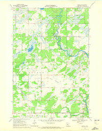
 1953 Brainerd1966 Print · USGSCentral Minnesota's lake country and iron ranges are detailed in the mid-fifties, showing the intersection of industry and wilderness. Researchers can locate specific local landmarks like the Crow Wing County Courthouse or trace the early paths of the Soo Line Railroad and the Cuyuna Range Iron Mines.3 unique versions available
 - 1957 Map of Brainerd
 1957 Brainerd1957 Print · USGSNorth-central Minnesota's lake-rich landscape is captured in the mid-1950s as a crossroads of rail, river, and forest. Genealogists and historians can trace the paths of the Great Northern and Soo Line railroads through hubs like Brainerd, Wadena, and Detroit Lakes.
 - 1958 Map of Brainerd
 1958 Brainerd1958 Print · USGSCentral Minnesota in the late fifties is a landscape of dense lake chains, rail hubs, and sprawling state forests. Genealogists and local historians can trace old property alignments near the Mississippi River or locate family sites in Brainerd, Little Falls, and Detroit Lakes.
 - 1965 Map of Brainerd
 1965 Brainerd1965 Print · USGSNorth-central Minnesota in the mid-fifties presents a complex landscape of sprawling lake systems and established rail corridors. Genealogists and historians can trace the growth of timber towns along the Northern Pacific RR and explore early borders of the White Earth Indian Reservation or Tamarac National Wildlife Refuge.
 - 1969 Map of Nimrod, 1972 Print
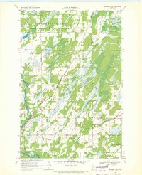
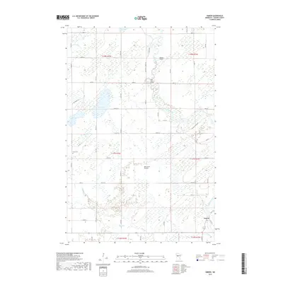
 1969 Nimrod1972 Print · USGSNimrod and the surrounding Wadena County townships appear here during the late sixties as the river economy transitioned to recreation. Researchers can trace family history at the Finnish Cem or explore the river landscapes of Butterfield Rapids and the Kossila Oxbow.
 - 1969 Map of Burgen Lake, 1972 Print
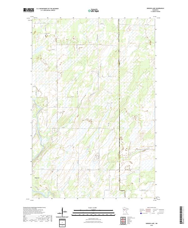
 1969 Burgen Lake1972 Print · USGSThe Crow Wing River corridor in the late sixties reveals a landscape of protected timberlands and winding waterways. Researchers can trace the boundaries of Huntersville and Orton, locating sites like Huntersville Cem and the riverfront Frames Landing Campground.2 unique versions available
 - 1976 Map of Pine River, 1994 Print
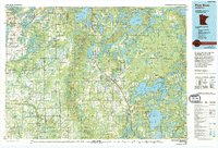 1976 Pine River1994 Print · USGSNorthern Minnesota's lake country is captured here during the mid-seventies, showing the expansion of recreation around Pequot Lakes and Nisswa. Researchers can trace the Burlington Northern rail line and locate forest landmarks within the Paul Bunyan State Forest and Chippewa National Forest.
 - 2010 Map of Burgen Lake, 2010 Print
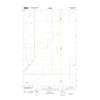
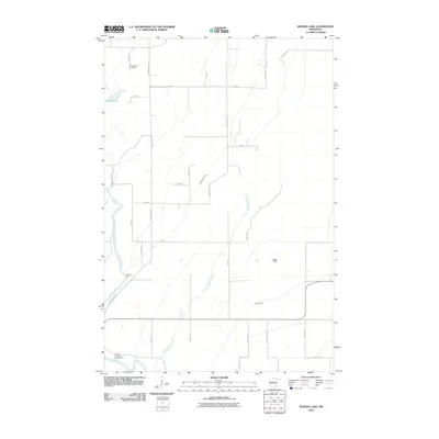 2010 Burgen Lake2010 Print · USGSCovers Nimrod, including Cass County, Wadena County, and other nearby areas
 - 2010 Map of Nimrod, 2010 Print
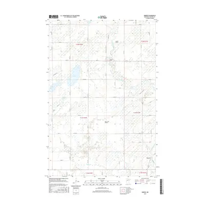
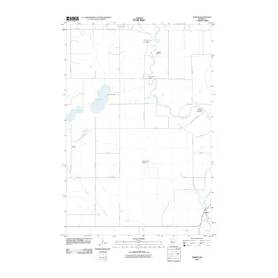 2010 Nimrod2010 Print · USGSCovers Nimrod, including Wadena County, United States, and other nearby areas
 - 2013 Map of Burgen Lake, 2013 Print
 2013 Burgen Lake2013 Print · USGSCovers Nimrod, including Cass County, Wadena County, and other nearby areas
 - 2013 Map of Nimrod, 2013 Print
 2013 Nimrod2013 Print · USGSCovers Nimrod, including Wadena County, United States, and other nearby areas
 - 2016 Map of Burgen Lake, 2016 Print
 2016 Burgen Lake2016 Print · USGSCovers Nimrod, including Cass County, Wadena County, and other nearby areas
 - 2016 Map of Nimrod, 2016 Print
 2016 Nimrod2016 Print · USGSCovers Nimrod, including Wadena County, United States, and other nearby areas
 - 2019 Map of Burgen Lake, 2019 Print
 2019 Burgen Lake2019 Print · USGSCovers Nimrod, including Cass County, Wadena County, and other nearby areas
 - 2019 Map of Nimrod, 2019 Print
 2019 Nimrod2019 Print · USGSCovers Nimrod, including Wadena County, United States, and other nearby areas
 - 2022 Map of Burgen Lake, 2022 Print
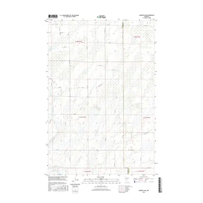
 2022 Burgen Lake2022 Print · USGSThe community of Nimrod and the wetlands of Wadena County are mapped here in the early twenty-first century. Researchers can locate the Huntersville Cemetery and trace the winding paths of the Crow Wing River and Big Swamp Creek.
 - 2022 Map of Nimrod, 2022 Print
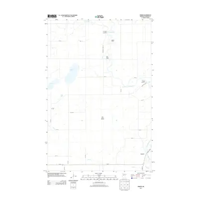
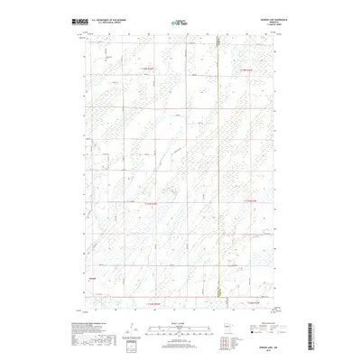
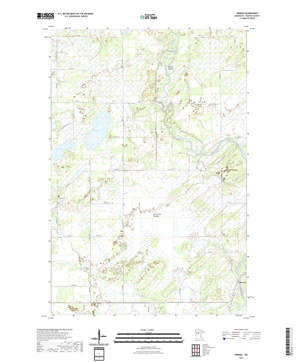 2022 Nimrod2022 Print · USGSIn the early twenty-first century, the river country near Nimrod remains a landscape of oxbows and rapids. Genealogists and historians can locate the Finnish Cem or trace the winding courses of the Crow Wing River and Cat River through Wire Grass Meadow.
End of results
Showing maps 1-17 of 17
Top cities near Nimrod
- Wadena historical maps
- Menahga historical maps
- Sebeka historical maps
- Poplar historical maps
- Badoura historical maps
- Hubbard historical maps
Frequently asked questions
- What are the different types of historical maps available for Nimrod?
- What is the oldest map of Nimrod?
- Where can I purchase historical maps of Nimrod for my home or office?
- Where can I download high-res historical maps of Nimrod?
- Are there historical topographic maps available for Nimrod?
- Is there historical aerial imagery available for Nimrod?
- Where are historical maps of Nimrod sourced from?