Old Maps of Middleville Township, Minnesota
Explore 29 old maps of Middleville Township, spanning from 1953 to today. These high-resolution historic maps reveal how streets, neighborhoods, landmarks, and natural features evolved over time — perfect for genealogy, metal detecting, research, and local history exploration.
What you can do with these maps:
- See how Middleville Township changed over time: Compare historical maps to modern-day views to trace roads, homesites, rail lines & more.
- View detailed metadata: Each map includes creators, publishers, year, scale, and archive source.
- Overlay maps with satellite & LiDAR: Visualize the past alongside modern tools to explore terrain & human change.
- Trusted historical sources: Maps sourced from the USGS, Library of Congress, and other archives.
- Access maps your way: View online, download high-res files, or order prints for personal or research use.
Start exploring old maps of Middleville Township to uncover forgotten places, hidden landmarks, and the deep history beneath your feet.
Middleville Township, MN maps
(29)- 1953 Map of Saint Cloud, 1968 Print
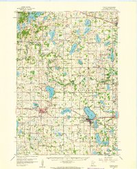
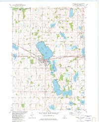
 1953 Saint Cloud1968 Print · USGSCentral Minnesota's lake country and the Mississippi River valley are caught in a period of steady mid-century growth. Researchers can trace historic rail lines, old granite works, and local landmarks like St. Johns University, Camp Ripley, and the shores of Lake Minnewaska.3 unique versions available
 - 1957 Map of Saint Cloud
 1957 Saint Cloud1957 Print · USGSCentral Minnesota's lake country and rail corridors are meticulously detailed in the mid-1950s. Genealogists and researchers can trace the growth of towns like Alexandria, Willmar, and Saint Cloud along the Great Northern railroad line.
 - 1958 Map of Saint Cloud
 1958 Saint Cloud1958 Print · USGSCentral Minnesota in the mid-1950s shows a landscape of growing regional hubs and hundreds of glacial lakes connected by an extensive rail network. Genealogists and historians can trace the early footprints of Saint Cloud, Alexandria, and Willmar along the Great Northern Railway.
 - 1958 Map of Cokato, 1959 Print
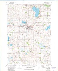
 1958 Cokato1959 Print · USGSWright County at the end of the fifties is a landscape of established rail towns and rural parishes. Genealogists can trace family footprints through numerous small institutions like the Finnish Ch, Cokato Cem, and Ojampera Sch.2 unique versions available
 - 1982 Map of Cokato
 1982 Cokato1982 Print · USGSWright County in the early 1980s shows a landscape of established rail towns and glacial lakes shaped by Scandinavian heritage. Genealogists can locate numerous local burial grounds like Swedish Cem and Finnish Cem or trace the early civic layout of Stockholm.
 - 1982 Map of Albion Center
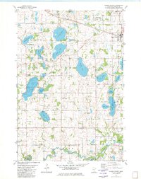 1982 Albion Center1982 Print · USGSWright County’s lake country is captured here in the early eighties, showcasing a landscape of small farmsteads and conservation areas. Researchers can locate family sites near Alamaa Cem, the Soo Line rail corridor, or the banks of the North Fork Crow River.
 - 1982 Map of French Lake
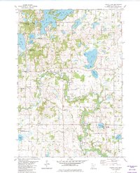 1982 French Lake1982 Print · USGSWright County is revealed in the early 1980s as a region of winding river valleys and quiet lakefronts. Genealogists and local researchers can locate numerous historic burial sites and rural parishes such as National Cem, Our Savior Ch, and North Crow River Ch.
 - 1982 Map of Howard Lake
 1982 Howard Lake1982 Print · USGSWright County in the early eighties centers on the lakeside town of Howard Lake and its vital Burlington Northern rail link. Local historians can trace family roots at Reinmuth Cem and St James Cem or explore the rural landscape of Victor Twp.
 - 1986 Map of Litchfield
 1986 Litchfield1986 Print · USGSCentral Minnesota in the mid-eighties was a landscape of conservation and transport, where the Burlington Northern rail line connected thriving lake towns. Genealogists and historians can trace old townships and landmarks like St Nicholas, Forest City, and School House Lake.2 unique versions available
 - 2010 Map of Cokato, 2010 Print
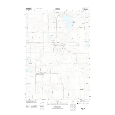
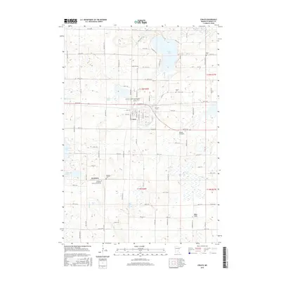
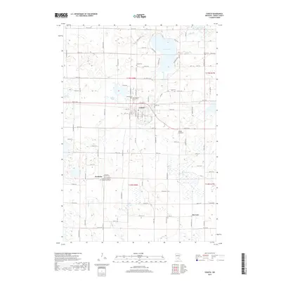
 2010 Cokato2010 Print · USGSCovers Middleville Township, including Cokato, Stockholm, and other nearby areas
 - 2010 Map of Albion Center, 2010 Print
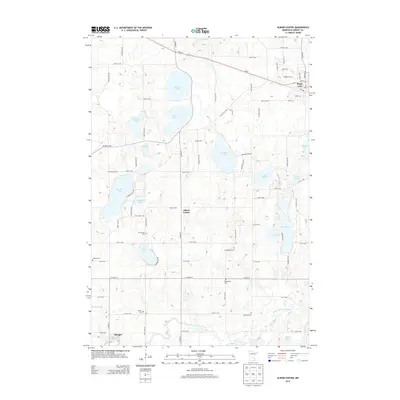
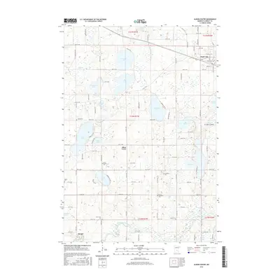
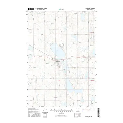
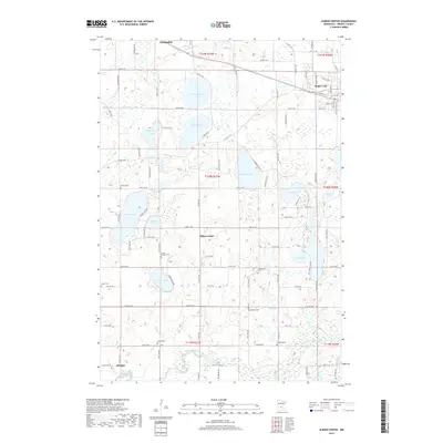
 2010 Albion Center2010 Print · USGSCovers Middleville Township, including Maple Lake, Albright, and other nearby areas
 - 2010 Map of French Lake, 2010 Print
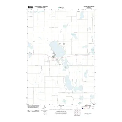
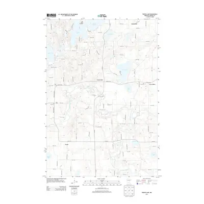
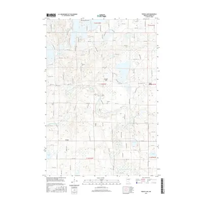
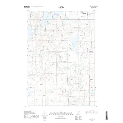
 2010 French Lake2010 Print · USGSCovers Middleville Township, including Annandale, French Lake, and other nearby areas
 - 2010 Map of Howard Lake, 2010 Print
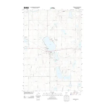
 2010 Howard Lake2010 Print · USGSCovers Middleville Township, including Howard Lake, Highland, and other nearby areas
 - 2013 Map of Albion Center, 2013 Print
 2013 Albion Center2013 Print · USGSCovers Middleville Township, including Maple Lake, Albright, and other nearby areas
 - 2013 Map of Howard Lake, 2013 Print
 2013 Howard Lake2013 Print · USGSCovers Middleville Township, including Howard Lake, Highland, and other nearby areas
 - 2013 Map of Cokato, 2013 Print
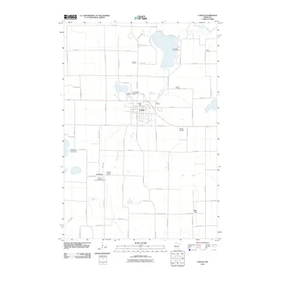
 2013 Cokato2013 Print · USGSCovers Middleville Township, including Cokato, Stockholm, and other nearby areas
 - 2013 Map of French Lake, 2013 Print
 2013 French Lake2013 Print · USGSCovers Middleville Township, including Annandale, French Lake, and other nearby areas
 - 2016 Map of Albion Center, 2016 Print
 2016 Albion Center2016 Print · USGSCovers Middleville Township, including Maple Lake, Albright, and other nearby areas
 - 2016 Map of Cokato, 2016 Print
 2016 Cokato2016 Print · USGSCovers Middleville Township, including Cokato, Stockholm, and other nearby areas
 - 2016 Map of French Lake, 2016 Print
 2016 French Lake2016 Print · USGSCovers Middleville Township, including Annandale, French Lake, and other nearby areas
 - 2016 Map of Howard Lake, 2016 Print
 2016 Howard Lake2016 Print · USGSCovers Middleville Township, including Howard Lake, Highland, and other nearby areas
 - 2019 Map of Cokato, 2019 Print
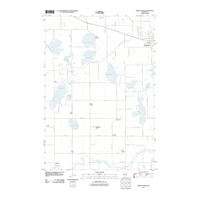
 2019 Cokato2019 Print · USGSCovers Middleville Township, including Cokato, Stockholm, and other nearby areas
 - 2019 Map of French Lake, 2019 Print
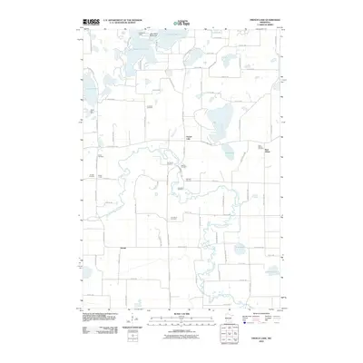
 2019 French Lake2019 Print · USGSCovers Middleville Township, including Annandale, French Lake, and other nearby areas
 - 2019 Map of Albion Center, 2019 Print
 2019 Albion Center2019 Print · USGSCovers Middleville Township, including Maple Lake, Albright, and other nearby areas
 - 2019 Map of Howard Lake, 2019 Print
 2019 Howard Lake2019 Print · USGSCovers Middleville Township, including Howard Lake, Highland, and other nearby areas
Showing maps 1-25 of 29
Top cities near Middleville Township
- Buffalo historical maps
- Monticello historical maps
- Becker historical maps
- Watertown historical maps
- Annandale historical maps
- Cokato historical maps
See more
Top neighborhoods of Middleville Township
Frequently asked questions
- What are the different types of historical maps available for Middleville Township?
- What is the oldest map of Middleville Township?
- Where can I purchase historical maps of Middleville Township for my home or office?
- Where can I download high-res historical maps of Middleville Township?
- Are there historical topographic maps available for Middleville Township?
- Is there historical aerial imagery available for Middleville Township?
- Where are historical maps of Middleville Township sourced from?