
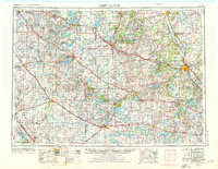
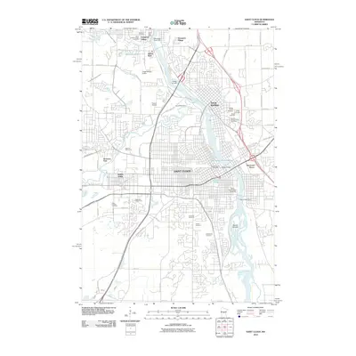
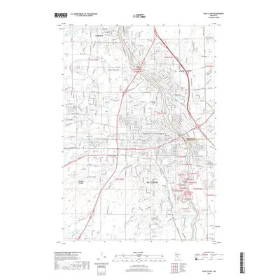
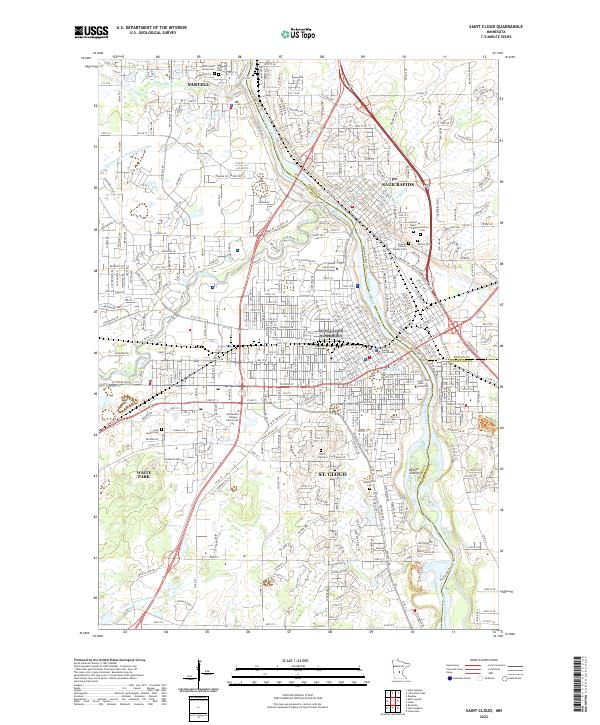
1953 Map of Saint Cloud
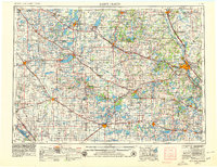
USGS Topo · Published 1968About this map
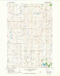
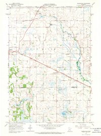
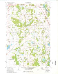
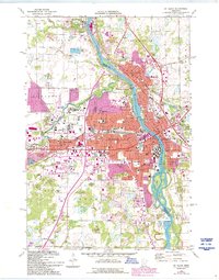
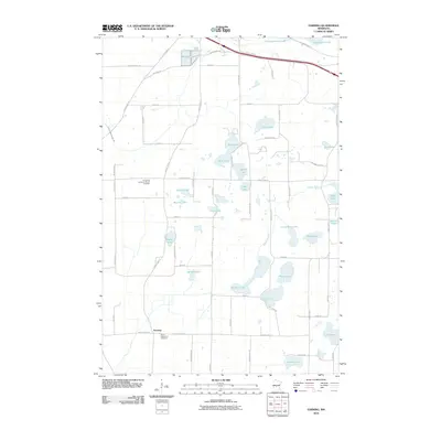
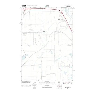
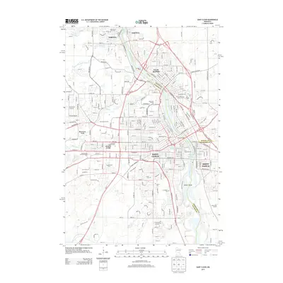
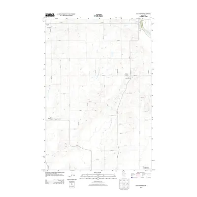
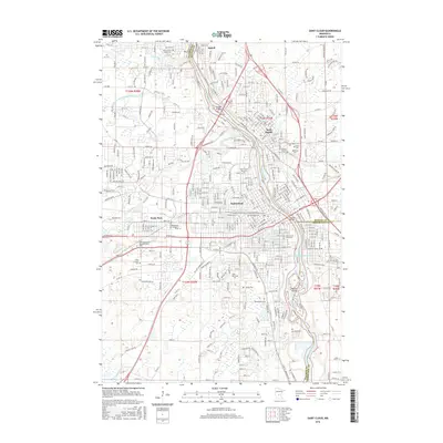
Saint Cloud and the surrounding central Minnesota landscape are defined by a complex network of glacial lakes and an established mid-century transportation corridor. As seen in this mid-1950s data, revised in the late 1960s, the region is anchored by the Great Northern Railway and U.S. Highway 52, connecting major trade centers like Alexandria, Willmar, and Little Falls. The map reveals the critical importance of institutional and military footprints, notably the expansive Camp Ripley to the north and the campus of St. Johns University near Collegeville.
Find a feature on this map
319 named features on this map. Tap any name to fly to it.
Don’t see what you’re looking for? This feature index may not catch every label — zoom into the map to look around manually.
Map Details
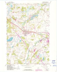
Editions of this 1953 Saint Cloud Map
3 editions found
Historical Maps of St. Cloud Through Time
57 maps found
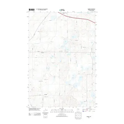
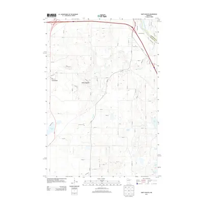
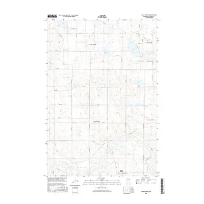
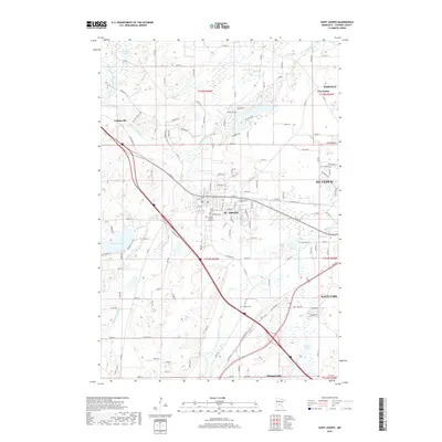
1953 Saint Cloud
Stearns County, MN

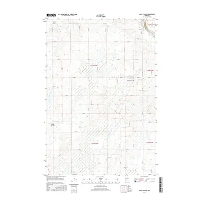
1957 Saint Cloud
Stearns County, MN

1958 Saint Cloud
Stearns County, MN
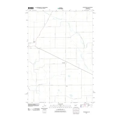
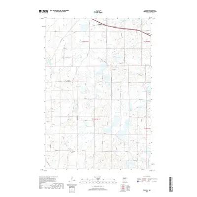
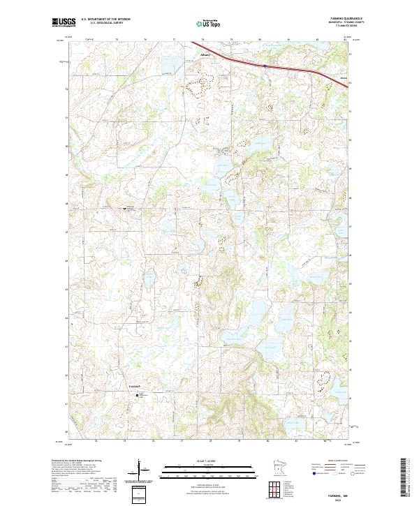
1965 Farming
Stearns County, MN
1965 Padua
Stearns County, MN
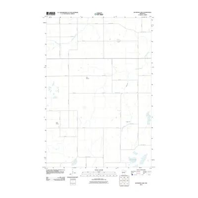
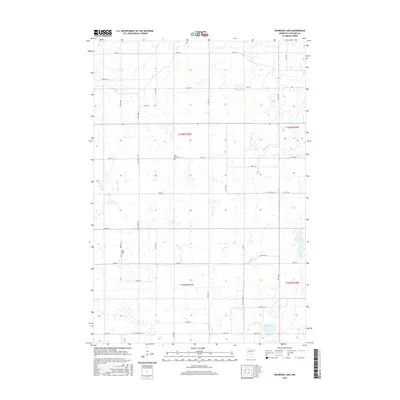
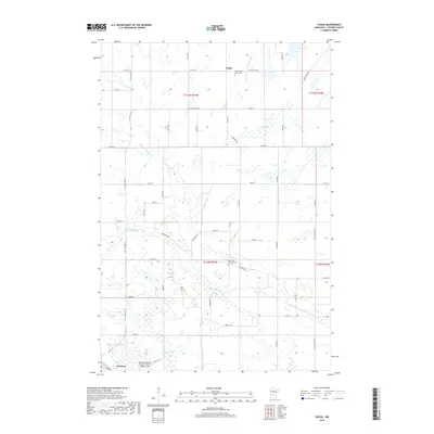
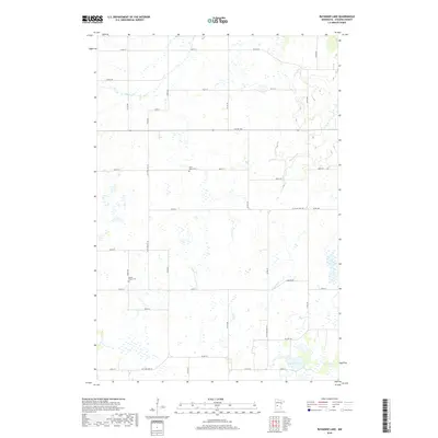
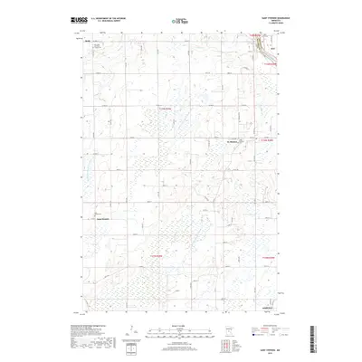
1965 Raymond Lake
Stearns County, MN
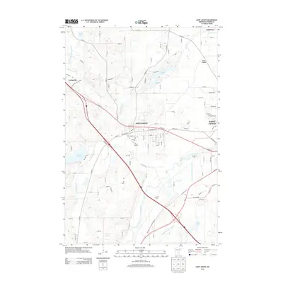
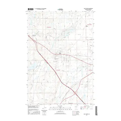
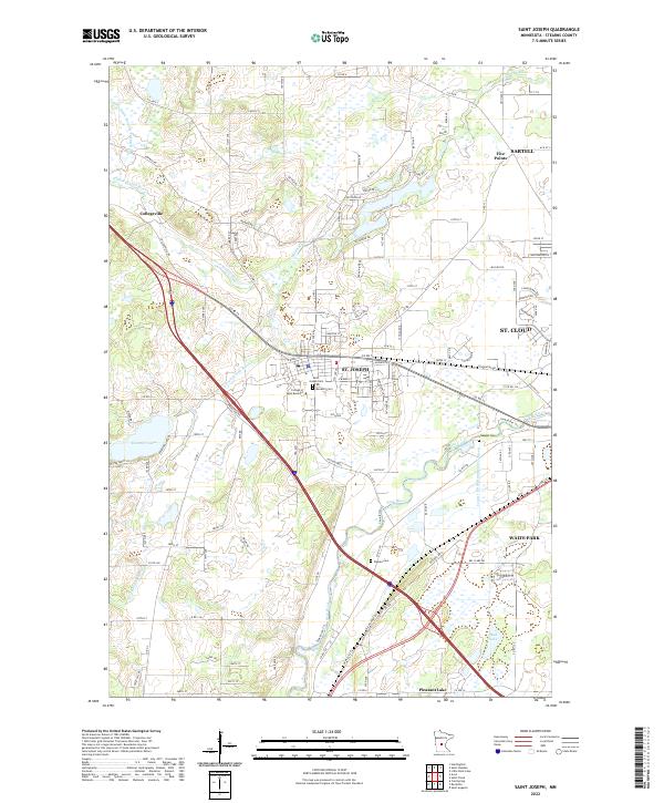
1965 St Joseph
Stearns County, MN
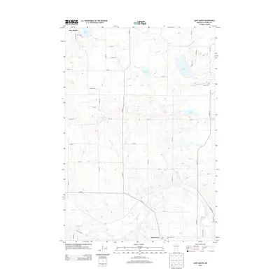
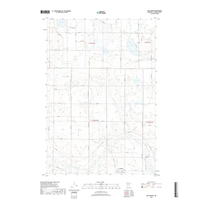
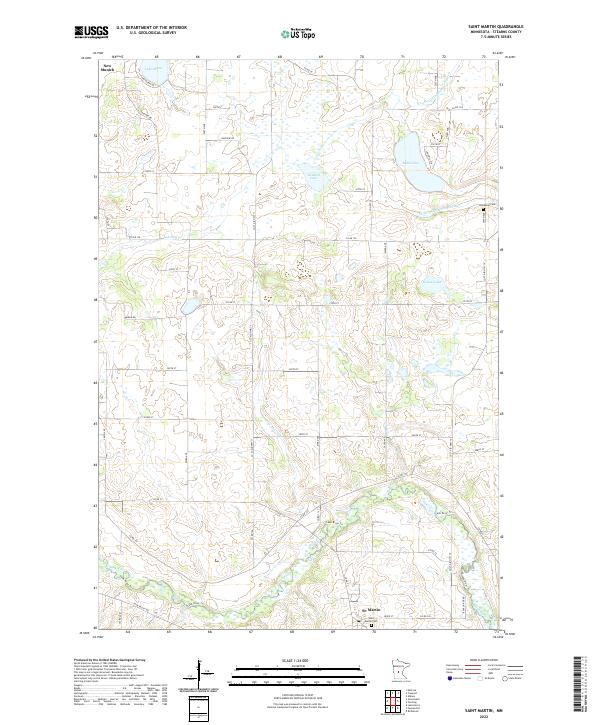
1965 St Martin
Stearns County, MN
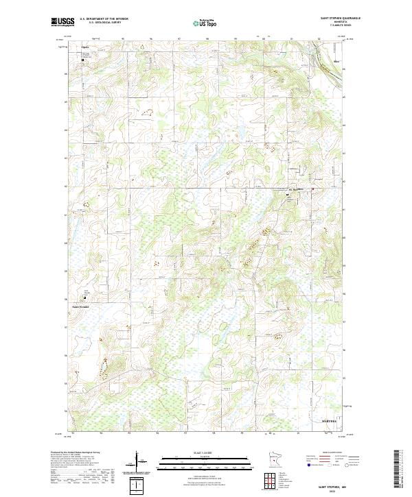
1965 St Stephen
Stearns County, MN
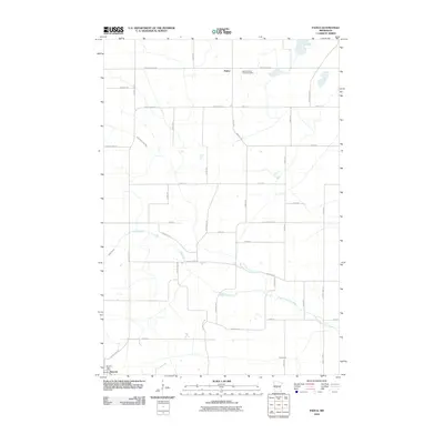
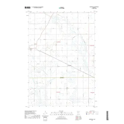
1967 Georgeville
Stearns County, MN
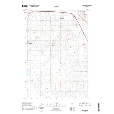
1974 St Augusta
Stearns County, MN
1974 St Cloud
Stearns County, MN
2010 Farming
Stearns County, MN
2010 Georgeville
Stearns County, MN
2010 Padua
Stearns County, MN
2010 Raymond Lake
Stearns County, MN
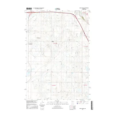
2010 Saint Augusta
Stearns County, MN
2010 Saint Cloud
Stearns County, MN
2010 Saint Joseph
Stearns County, MN
2010 Saint Martin
Stearns County, MN
2010 Saint Stephen
Stearns County, MN
2013 Farming
Stearns County, MN
2013 Georgeville
Stearns County, MN
2013 Padua
Stearns County, MN
2013 Raymond Lake
Stearns County, MN
2013 Saint Augusta
Stearns County, MN
2013 Saint Cloud
Stearns County, MN
2013 Saint Joseph
Stearns County, MN
2013 Saint Martin
Stearns County, MN
2013 Saint Stephen
Stearns County, MN
2016 Farming
Stearns County, MN
2016 Georgeville
Stearns County, MN
2016 Padua
Stearns County, MN
2016 Raymond Lake
Stearns County, MN
2016 Saint Augusta
Stearns County, MN
2016 Saint Cloud
Stearns County, MN
2016 Saint Joseph
Stearns County, MN
2016 Saint Martin
Stearns County, MN
2016 Saint Stephen
Stearns County, MN
2019 Farming
Stearns County, MN
2019 Georgeville
Stearns County, MN
2019 Padua
Stearns County, MN
2019 Raymond Lake
Stearns County, MN
2019 Saint Augusta
Stearns County, MN
2019 Saint Cloud
Stearns County, MN
2019 Saint Joseph
Stearns County, MN
2019 Saint Martin
Stearns County, MN
2019 Saint Stephen
Stearns County, MN
2022 Farming
Stearns County, MN
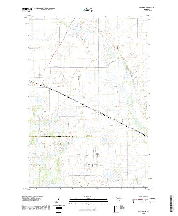
2022 Georgeville
Stearns County, MN
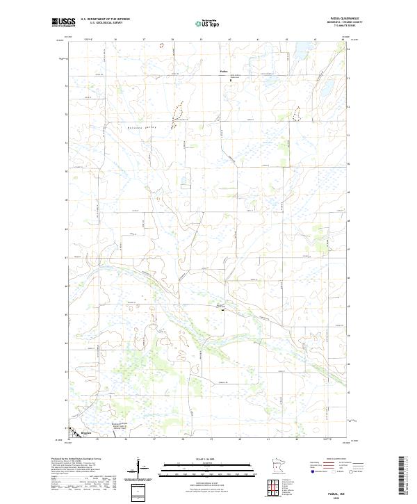
2022 Padua
Stearns County, MN
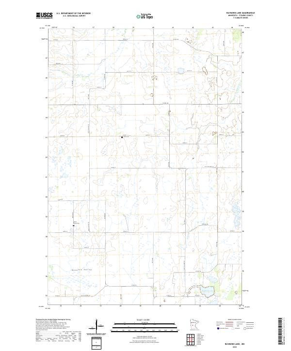
2022 Raymond Lake
Stearns County, MN
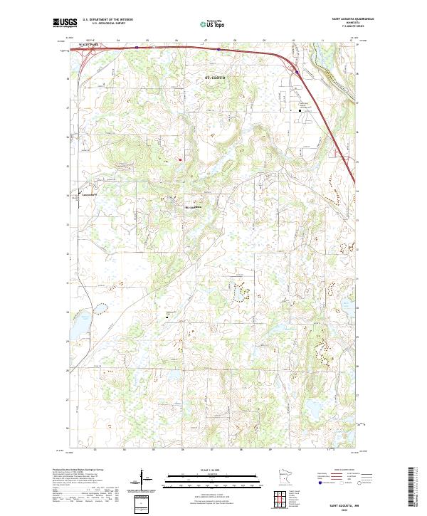
2022 Saint Augusta
Stearns County, MN
2022 Saint Cloud
Stearns County, MN
2022 Saint Joseph
Stearns County, MN
2022 Saint Martin
Stearns County, MN
2022 Saint Stephen
Stearns County, MN