
1913 Map of Ashby
USGS Topo · Published 1913About this map
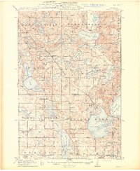
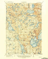
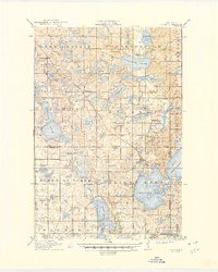
The glacial lakes of Otter Tail, Grant, and Douglas counties define this 1913 landscape, where the Northern Pacific RR and Great Northern RR intersect near the settlement of Dalton. This pre-World War I era shows a rural Minnesota prairie increasingly organized into school districts, with nearly twenty numbered schoolhouses, such as School No 19 and School No 71, serving the townships of Dane Prairie and St. Olaf. Large water bodies like Pelican Lake and Lake Christina dominate the topography, while smaller features like Mill Pond and the Pomme de Terre River suggest a local economy tied to water power and agriculture. The complex network of wetlands and potholes between Tenmile Lake and Stalker Lake illustrates the region's post-glacial geography before modern drainage or extensive highway development altered the terrain.
Find a feature on this map
66 named features on this map. Tap any name to fly to it.
Don’t see what you’re looking for? This feature index may not catch every label — zoom into the map to look around manually.
Map Details
Editions of this 1913 Ashby Map
4 editions found
Other maps of this area

1910 · Wendell
USGS Topo · 1:62,500

1911 · Barrett
USGS Topo · 1:62,500

1911 · Herman
USGS Topo · 1:62,500

1912 · Battle Lake
USGS Topo · 1:62,500

1913 · Fergus Falls
USGS Topo · 1:62,500

1913 · Wendell
USGS Topo · 1:62,500

1914 · Battle Lake
USGS Topo · 1:62,500

1915 · Underwood
USGS Topo · 1:62,500

1953 · Milbank
USGS Topo · 1:250,000

1953 · Fargo
USGS Topo · 1:250,000