
1915 Map of Underwood
USGS Topo · Published 1915About this map
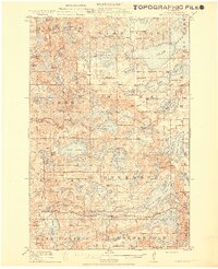
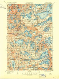
Underwood and the small settlement of Maine anchor this landscape during a period of extensive rural development in central Minnesota. The terrain is a complex glacial lake district, dominated by large bodies of water like Star Lake and Dead Lake, alongside dozens of smaller basins including West Lost Lake and High Island Lake. The map reveals a highly organized township system, with Sverdrup, Friberg, and Maplewood townships showing a dense network of numbered schoolhouses, such as School No 207 Weggeland and Edwards School, which served the local farming families.
Find a feature on this map
102 named features on this map. Tap any name to fly to it.
Don’t see what you’re looking for? This feature index may not catch every label — zoom into the map to look around manually.
Map Details
Editions of this 1915 Underwood Map
3 editions found
Other maps of this area

1910 · Wendell
USGS Topo · 1:62,500

1912 · Vergas
USGS Topo · 1:62,500

1912 · Battle Lake
USGS Topo · 1:62,500

1913 · Ashby
USGS Topo · 1:62,500

1913 · Fergus Falls
USGS Topo · 1:62,500

1913 · Wendell
USGS Topo · 1:62,500

1914 · Battle Lake
USGS Topo · 1:62,500

1914 · Pelican Rapids
USGS Topo · 1:62,500

1915 · Perham
USGS Topo · 1:62,500

1915 · Vergas
USGS Topo · 1:62,500