
Loading...
Loading map...1911 Map of Herman
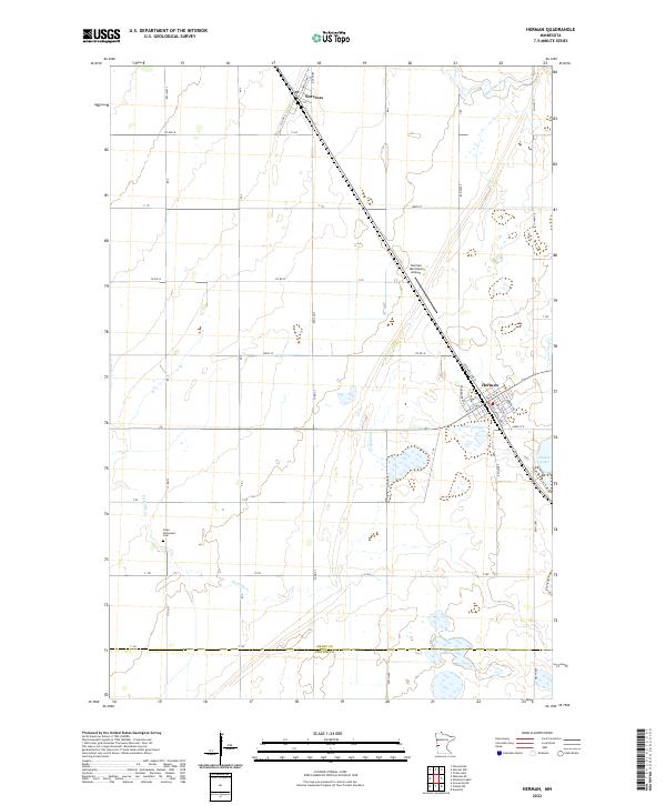
USGS Topo · Published 1911About this map
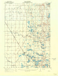
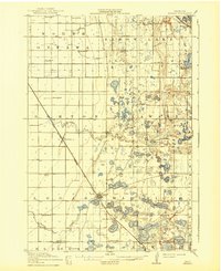
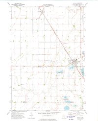
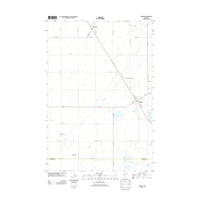
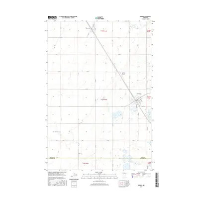
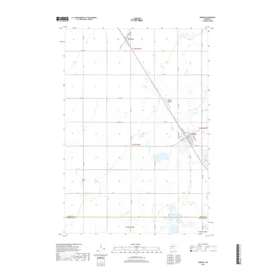
Herman and Norcross anchor this early 20th-century landscape, positioned at a vital junction of the Great Northern RR and the Willmar and Larimore Line. The terrain is characterized by an intricate network of wetlands and small lakes, particularly dense in the eastern townships of Delaware and Macsville. Named water bodies such as Ohlsrud Lake, Niemakt Lakes, and Pullman Lake are interspersed with low-lying features like Moses Slough and Moose Island.
Find a feature on this map
49 named features on this map. Tap any name to fly to it.
Don’t see what you’re looking for? This feature index may not catch every label — zoom into the map to look around manually.
Map Details
Date Portrayed1911
Date Published1911
PublisherU.S. Geological Survey
Map TypeTopographic
Scale1:62,500
Physical Dimensions16.52 x 20.4 inches
Editions of this 1911 Herman Map
3 editions found
Historical Maps of Herman Through Time
7 maps found
Featured Locations
Source Details
SourceU.S. Geological Survey
CopyrightPublic Domain