Loading...
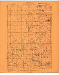
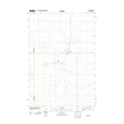
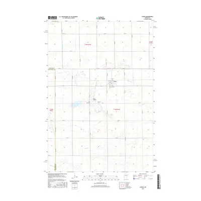
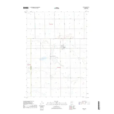
Loading map...1912 Map of Chokio
USGS Topo · Published 1912About this map
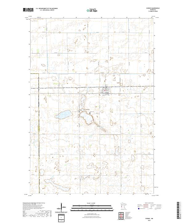
The Great Northern railroad corridors anchor this pre-war landscape, connecting the village of Donnelly in the northeast to the town of Chokio and the settlement of Alberta in the south. Published by the U.S. Geological Survey in coordination with the State of Minnesota, the map reveals a highly organized rural infrastructure across townships like Eldorado and Pepperton.
Find a feature on this map
48 named features on this map. Tap any name to fly to it.
Don’t see what you’re looking for? This feature index may not catch every label — zoom into the map to look around manually.
Map Details
Date Portrayed1912
Date Published1912
PublisherU.S. Geological Survey
Map TypeTopographic
Scale1:62,500
Physical Dimensions21.53 x 27.23 inches
Editions of this 1912 Chokio Map
This is the sole edition of this map. No revisions or reprints were ever made.
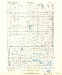
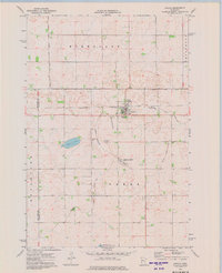
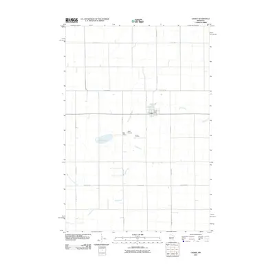
Historical Maps of Chokio Through Time
8 maps found
Featured Locations
Source Details
SourceU.S. Geological Survey
CopyrightPublic Domain