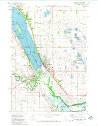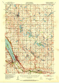
1953 Map of Ortonville
USGS Topo · Published 1955About this map
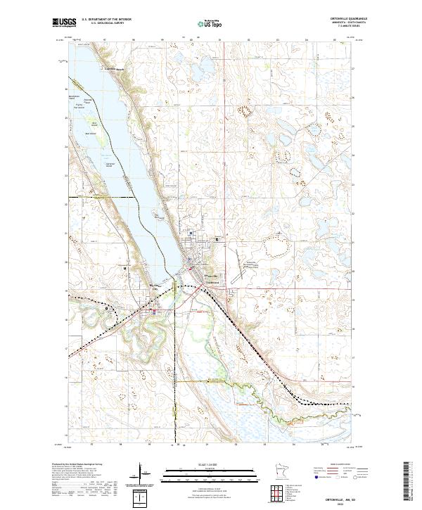
Big Stone Lake anchors this borderland landscape, where the waters of the Minnesota River and Whetstone River converge near the Minnesota and South Dakota line. In the early 1950s, Ortonville served as a key regional hub, complete with an Ortonville Airport and a Fish Hatchery along the lakefront. The surrounding prairie is defined by a dense network of country schools and churches that speak to the era's rural community structure, including Bethany Ch, Immanuel Ch, and several numbered schoolhouses like School No 22. Industrial activity is evident along the Chicago Milwaukee St Paul and Pacific line, where a Quarry and various Gravel Pits are located near Odessa. The map also captures numerous prairie potholes and sloughs, such as Basset Slough and Dismal Swamp, reflecting the glaciated terrain of Big Stone county.
Find a feature on this map
62 named features on this map. Tap any name to fly to it.
Don’t see what you’re looking for? This feature index may not catch every label — zoom into the map to look around manually.
Map Details
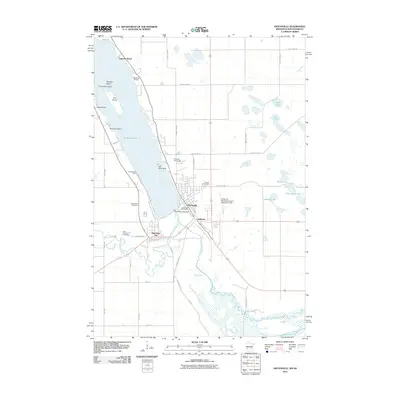
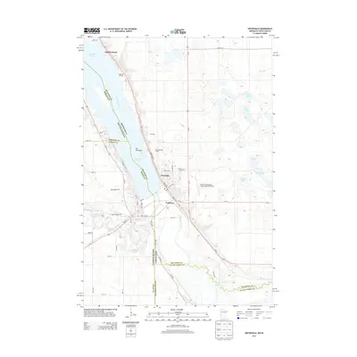
Editions of this 1953 Ortonville Map
This is the sole edition of this map. No revisions or reprints were ever made.
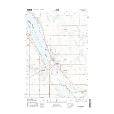
Historical Maps of Ortonville Through Time
7 maps found