
1912 Map of Morris
USGS Topo · Published 1912About this map
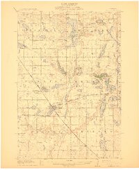
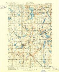
The railroad junction at Morris serves as the focal point of this West Central Minnesota landscape, where three major rail lines converge near the banks of the Pomme De Terre Lakes. The town’s role as an educational and industrial hub is clear, featuring the State Agricultural School and the North Star Mill along the river. The surrounding prairie is meticulously organized into a grid of school districts, from School No 36 in the north to School No 23 near Hancock in the south, illustrating the dense network of rural education at the time.
Find a feature on this map
54 named features on this map. Tap any name to fly to it.
Don’t see what you’re looking for? This feature index may not catch every label — zoom into the map to look around manually.
Map Details
Editions of this 1912 Morris Map
3 editions found
Other maps of this area

1910 · Chokio
USGS Topo · 1:62,500

1911 · Barrett
USGS Topo · 1:62,500

1911 · Herman
USGS Topo · 1:62,500

1912 · Chokio
USGS Topo · 1:62,500

1953 · Milbank
USGS Topo · 1:250,000

1953 · Saint Cloud
USGS Topo · 1:250,000

1957 · Saint Cloud
USGS Topo · 1:250,000

1958 · Milbank
USGS Topo · 1:250,000

1958 · Saint Cloud
USGS Topo · 1:250,000

1966 · Kensington
USGS Topo · 1:24,000