Loading...
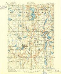
Loading map...1912 Map of Morris
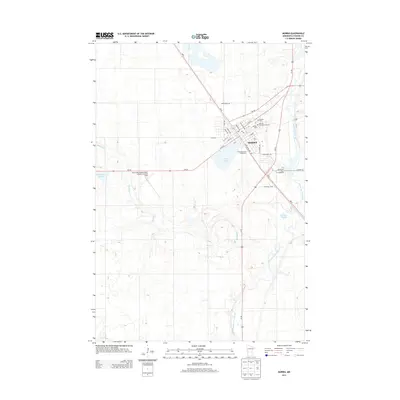
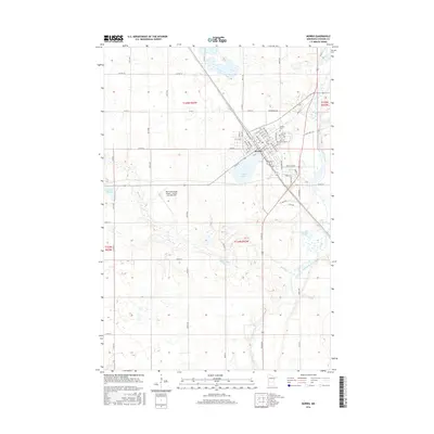
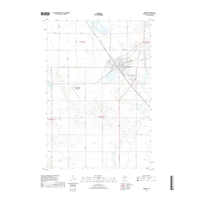
USGS Topo · Published 1949About this map
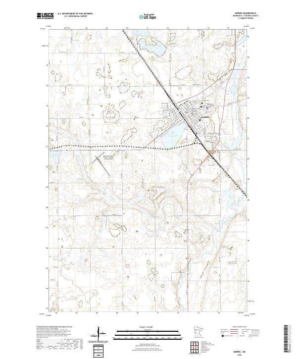
The Morris townsite serves as the hub of this 1912 survey, situated at the junction of the Great Northern and Northern Pacific railroads. The town's significance as a regional center is highlighted by the presence of the State Agricultural School, while the surrounding landscape of Darnen, Hodges, and Swan Lake townships is densely dotted with over twenty numbered schools, including North Star Mill School No 5.
Find a feature on this map
56 named features on this map. Tap any name to fly to it.
Don’t see what you’re looking for? This feature index may not catch every label — zoom into the map to look around manually.
Map Details
Date Portrayed1912
Date Published1949
PublisherU.S. Geological Survey
Map TypeTopographic
Scale1:62,500
Physical Dimensions16.5 x 20.18 inches
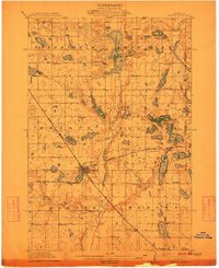
Editions of this 1912 Morris Map
3 editions found

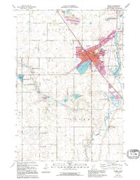
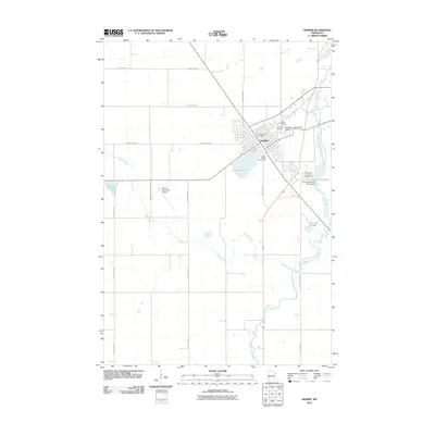
Historical Maps of Morris Through Time
7 maps found
Featured Locations
Source Details
SourceU.S. Geological Survey
CopyrightPublic Domain