
1958 Map of Saint Cloud
USGS Topo · Published 1958About this map
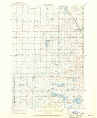
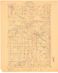
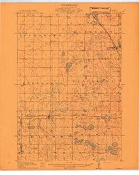
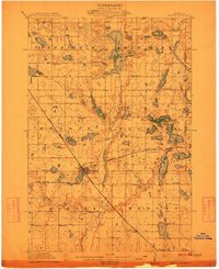
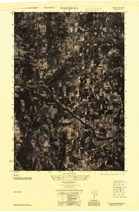
Saint Cloud serves as the regional anchor on the Mississippi River in this mid-century survey of Central Minnesota. The landscape is defined by the dense concentration of glacial lakes across Douglas County and Stearns County, including major recreation and settlement hubs like Lake Minnewaska, Green Lake, and Lake Osakis. The map captures the established rail-and-road corridors that fueled the growth of towns such as Alexandria, Willmar, and Little Falls.
Find a feature on this map
252 named features on this map. Tap any name to fly to it.
Don’t see what you’re looking for? This feature index may not catch every label — zoom into the map to look around manually.
Map Details
Editions of this 1958 Saint Cloud Map
This is the sole edition of this map. No revisions or reprints were ever made.
Other maps of this area

1910 · Wendell
USGS Topo · 1:62,500
1910 · Chokio
USGS Topo · 1:62,500
1911 · Barrett
USGS Topo · 1:62,500

1911 · Herman
USGS Topo · 1:62,500
1912 · Chokio
USGS Topo · 1:62,500
1912 · Morris
USGS Topo · 1:62,500

1913 · Ashby
USGS Topo · 1:62,500

1913 · Wendell
USGS Topo · 1:62,500
1947 · Flensburg
USGS Topo · 1:25,000

1948 · Belle Prairie
USGS Topo · 1:62,500