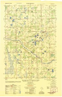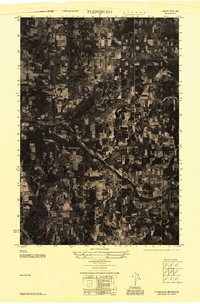
1947 Map of Flensburg
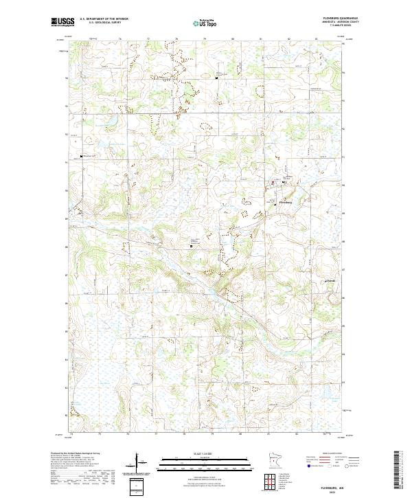
USGS Topo · Published 1951About this map
Flensburg serves as a small rail and agricultural hub in central Morrison County just after World War II, surrounded by a complex network of wetlands and small glacial lakes. This aerial mosaic, prepared by the Army Map Service, reveals the post-war landscape of Swan township, where the winding Swan River and Pike Creek dictate the layout of timbered tracts and farmsteads. Local community life is centered around rural institutions like Culdrum Town Hall and several country schools, including School No 60 and School No 118. Genealogy researchers will find several well-defined burial grounds and parish sites such as the Mission Covenant Church and Cemetery, Immanuel Church, and Sacred Heart Cemetery, which anchor the surrounding rural sections. The terrain is notably punctuated by numerous water bodies like Johnson Lake, Pinnacle Lake, and the expansive Big Marsh to the west.
Find a feature on this map
27 named features on this map. Tap any name to fly to it.
Don’t see what you’re looking for? This feature index may not catch every label — zoom into the map to look around manually.
Map Details
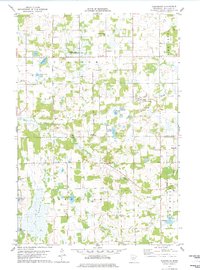
Editions of this 1947 Flensburg Map
This is the sole edition of this map. No revisions or reprints were ever made.
Historical Maps of Flensburg Through Time
8 maps found