
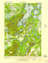
1950 Map of Cushing
USGS Topo · Published 1950About this map
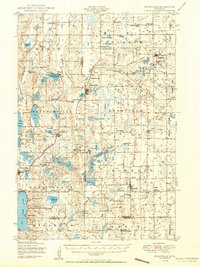
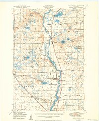
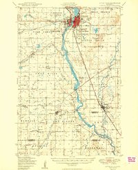
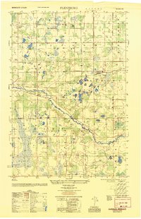
Randall, Cushing, and Lincoln anchor this mid-century portrait of Central Minnesota, where the dense hydrology of the Turtle Creek and Little Elk townships meets the industrial line of the Northern Pacific railroad. The landscape is defined by its glacial heritage, featuring a vast network of water bodies such as Alexander Lake, Fish Trap Lake, and the complex Chain of Lakes. This survey is a remarkable resource for identifying dozens of rural educational centers, including Willis School and Fawn Lake School, which served dispersed agricultural families. Local civic life is documented through the locations of the Scandia Valley Town Hall and Parker Town Hall, while spiritual and commemorative sites like the Evangelical Free Church and Roselund Cemetery provide essential touchpoints for genealogical research in this lake-strewn portion of Morrison and Todd counties.
Find a feature on this map
117 named features on this map. Tap any name to fly to it.
Don’t see what you’re looking for? This feature index may not catch every label — zoom into the map to look around manually.
Map Details
Editions of this 1950 Cushing Map
This is the sole edition of this map. No revisions or reprints were ever made.
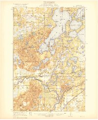
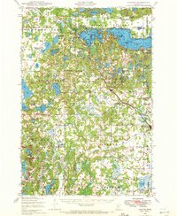
Other maps of this area
1916 · Pillager
USGS Topo · 1:62,500
1919 · Pillager
USGS Topo · 1:62,500
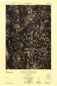
1947 · Flensburg
USGS Topo · 1:25,000

1948 · Belle Prairie
USGS Topo · 1:62,500
1948 · Cushing
USGS Topo · 1:62,500

1948 · Little Falls
USGS Topo · 1:62,500
1950 · Swanville
USGS Topo · 1:62,500
1950 · Belle Prairie
USGS Topo · 1:62,500
1950 · Little Falls
USGS Topo · 1:62,500
1951 · Flensburg
USGS Topo · 1:25,000