
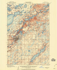
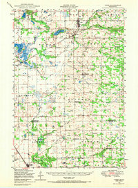
1948 Map of Belle Prairie
USGS Topo · Published 1961About this map
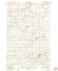
The Mississippi River serves as the central axis for this mid-century survey, dividing the landscape into a complex network of glacial lakes and military installations. To the west, the Fort Ripley Military Reservation and Camp Ripley Military Reservation dominate the terrain, interspersed with numerous water bodies like Round Lake and Lake Alexander. The map captures a high density of rural infrastructure, documenting over twenty numbered schools and several local administrative hubs including Rail-Prairie Town Hall and Ripley Town Hall. Settlement patterns are concentrated along the Northern Pacific railroad line, which connects the riverside communities of Fort Ripley, Belle Prairie, and Topeka. Genealogists will find significant detail in the dispersed rural cemeteries, such as the Old Darling Mission Cemetery and St Mathias Cemetery, providing evidence of early township development in the St. Mathias and Belle Prairie districts.
Find a feature on this map
101 named features on this map. Tap any name to fly to it.
Don’t see what you’re looking for? This feature index may not catch every label — zoom into the map to look around manually.
Map Details
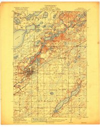
Editions of this 1948 Belle Prairie Map
This is the sole edition of this map. No revisions or reprints were ever made.
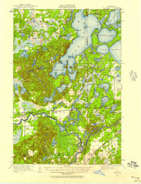
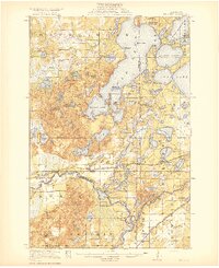
Other maps of this area
1915 · Brainerd
USGS Topo · 1:62,500
1916 · Pillager
USGS Topo · 1:62,500
1918 · Brainerd
USGS Topo · 1:62,500
1919 · Pillager
USGS Topo · 1:62,500
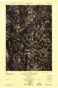
1947 · Flensburg
USGS Topo · 1:25,000
1948 · Pierz
USGS Topo · 1:62,500
1948 · Lastrup
USGS Topo · 1:62,500
1948 · Cushing
USGS Topo · 1:62,500

1948 · Little Falls
USGS Topo · 1:62,500
1950 · Lastrup
USGS Topo · 1:62,500