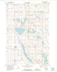
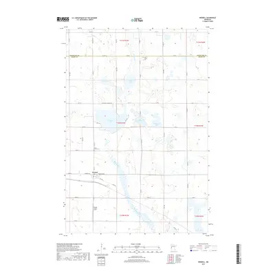
1910 Map of Wendell
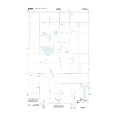
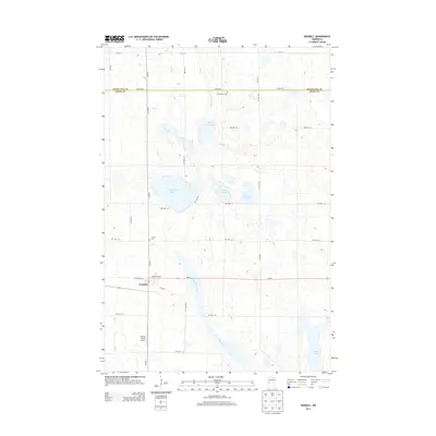
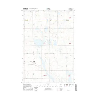
USGS Topo · Published 1965About this map
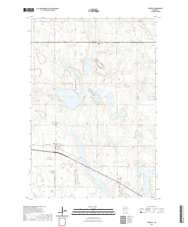
The Otter Tail River winds through this landscape, feeding the early hydraulic infrastructure at Dayton Dam. The terrain is defined by a dense network of glacial basins and water bodies, ranging from the elongated Faunce Slough to the prominent Lightning Lake and Swan Lake. Transportation corridors are well-established by the early 20th century, with the Minneapolis St Paul and Sault Ste Marie railroad passing through the village of Wendell, while the Great Northern line services the southern reaches near Hereford.
Find a feature on this map
60 named features on this map. Tap any name to fly to it.
Don’t see what you’re looking for? This feature index may not catch every label — zoom into the map to look around manually.
Map Details
Editions of this 1910 Wendell Map
This is the sole edition of this map. No revisions or reprints were ever made.
Historical Maps of Fergus Falls Through Time
8 maps found