Old Maps of Aastad Township, Minnesota
Explore 30 old maps of Aastad Township, spanning from 1910 to today. These high-resolution historic maps reveal how streets, neighborhoods, landmarks, and natural features evolved over time — perfect for genealogy, metal detecting, research, and local history exploration.
What you can do with these maps:
- See how Aastad Township changed over time: Compare historical maps to modern-day views to trace roads, homesites, rail lines & more.
- View detailed metadata: Each map includes creators, publishers, year, scale, and archive source.
- Overlay maps with satellite & LiDAR: Visualize the past alongside modern tools to explore terrain & human change.
- Trusted historical sources: Maps sourced from the USGS, Library of Congress, and other archives.
- Access maps your way: View online, download high-res files, or order prints for personal or research use.
Start exploring old maps of Aastad Township to uncover forgotten places, hidden landmarks, and the deep history beneath your feet.
Aastad Township, MN maps
(30)- 1910 Map of Wendell, 1965 Print
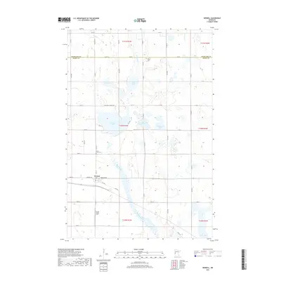
 1910 Wendell1965 Print · USGSGrant and Otter Tail counties are shown here in the early twentieth century as a burgeoning network of rail lines and lakeside settlements. Genealogists can locate over twenty numbered schoolhouses and early stations along the Minneapolis St Paul and Sault Ste Marie line near Wendell and Hereford.
 - 1913 Map of Wendell
 1913 Wendell1913 Print · USGSGrant and Otter Tail counties appear here just before the Great War, showing a landscape defined by prairie rail expansion and rural school districts. Genealogists can locate specific farmstead locations near School No 119, Dayton Dam, or the village of Wendell.
 - 1953 Map of Fargo, 1965 Print
 1953 Fargo1965 Print · USGSThe Red River Valley in the mid-fifties was a bustling rail and agricultural corridor during a period of steady prairie growth. Genealogists and historians can trace the intricate rail networks of the Great Northern and Soo Line connecting local hubs like Casselton and Wahpeton.2 unique versions available
 - 1956 Map of Fargo
 1956 Fargo1956 Print · USGSThe Red River Valley's agricultural heartland is documented here in the mid-fifties as the rail-and-road network expanded across the plains. Genealogists can trace family roots through numerous small railroad towns and local landmarks like Casselton, Sheyenne Valley Church, and Sisseton Indian Res.
 - 1973 Map of Dayton Hollow Dam, 1975 Print
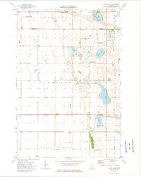
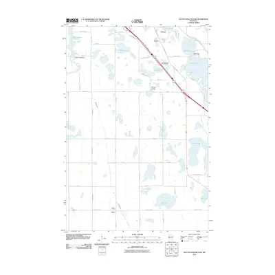
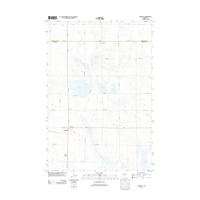
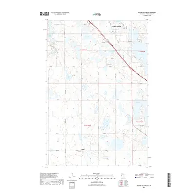
 1973 Dayton Hollow Dam1975 Print · USGSOtter Tail County in the early seventies reveals a landscape transition between agricultural townships and extensive conservation lands. Genealogists and historians can trace family locations near Ness and Squier, or locate old burials at Aastad Ch Cem.
 - 1973 Map of Stony Lake, 1975 Print
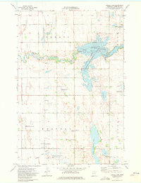
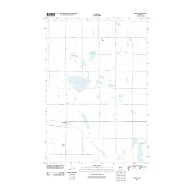
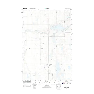
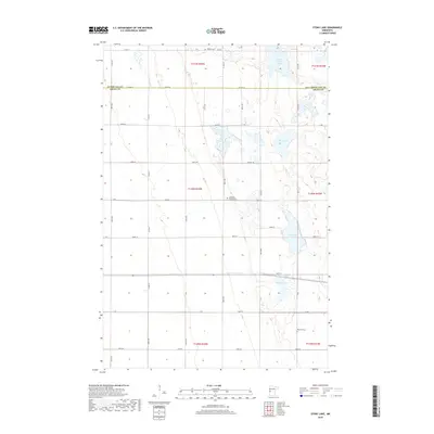
 1973 Stony Lake1975 Print · USGSThe Grant County wetlands and prairies are captured here in the early seventies, spanning the border with Otter Tail County. Genealogists and local historians can locate the Lawrence Ch, Hereford Cem, and the path of the Soo Line railroad.
 - 1973 Map of Orwell Lake, 1975 Print
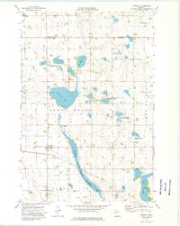
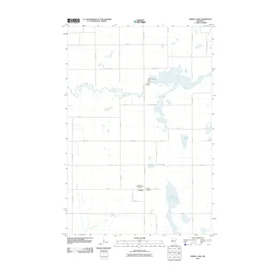
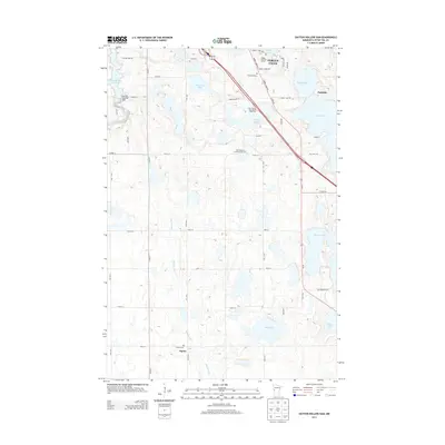
 1973 Orwell Lake1975 Print · USGSOtter Tail County was a center for conservation and water management in the mid-seventies. Genealogists and researchers can locate the Western Townhall and trace the impact of the Orwell Dam on the surrounding Orwell State Wildlife Management Area.
 - 1973 Map of Wendell, 1975 Print
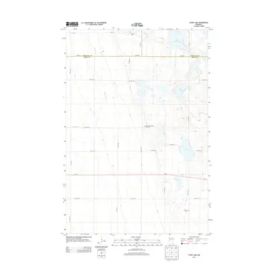
 1973 Wendell1975 Print · USGSThe Grant County prairie comes into focus in the early 1970s, showing a landscape defined by water conservation and rail history. Trace the Soo railroad through Wendell or locate local landmarks like Trinity Cem and the Old Railroad Grade Line.2 unique versions available
 - 1985 Map of Wahpeton, 1986 Print
 1985 Wahpeton1986 Print · USGSThe Red River Valley and Minnesota lake country meet in the mid-eighties at the border towns of Wahpeton and Breckenridge. Genealogists and historians can trace the rail lines of the Burlington Northern through settlements like Abercrombie and Hankinson, or locate legacy sites like Fort Abercrombie State Park.2 unique versions available
 - 1989 Map of Fargo, 1990 Print
 1989 Fargo1990 Print · USGSThe Red River Valley at the end of the eighties shows a landscape of flourishing university towns and vital rail corridors. Researchers can trace family roots through Riverside Cem, find early campus layouts for North Dakota State University, or follow the Soo Line Railroad through West Fargo.
 - 2010 Map of Stony Lake, 2010 Print
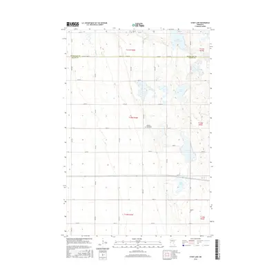
 2010 Stony Lake2010 Print · USGSCovers Aastad Township, including Western Township, Otter Tail County, and other nearby areas
 - 2010 Map of Orwell Lake, 2010 Print
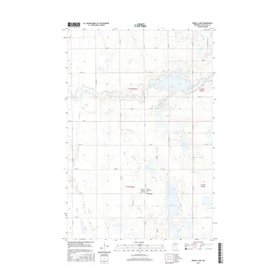
 2010 Orwell Lake2010 Print · USGSCovers Aastad Township, including Western, Western Township, and other nearby areas
 - 2010 Map of Dayton Hollow Dam, 2010 Print
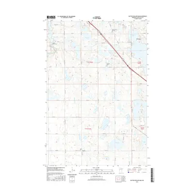
 2010 Dayton Hollow Dam2010 Print · USGSCovers Aastad Township, including Fergus Falls, Dane Prairie Township, and other nearby areas
 - 2010 Map of Wendell, 2010 Print
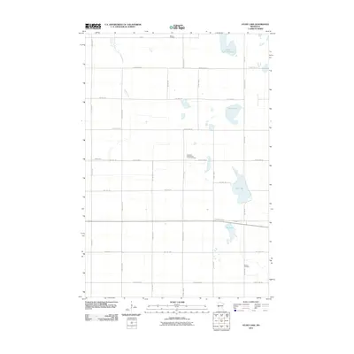
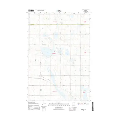
 2010 Wendell2010 Print · USGSCovers Aastad Township, including Wendell, Tumuli Township, and other nearby areas
 - 2013 Map of Stony Lake, 2013 Print
 2013 Stony Lake2013 Print · USGSCovers Aastad Township, including Western Township, Otter Tail County, and other nearby areas
 - 2013 Map of Wendell, 2013 Print
 2013 Wendell2013 Print · USGSCovers Aastad Township, including Wendell, Tumuli Township, and other nearby areas
 - 2013 Map of Dayton Hollow Dam, 2013 Print
 2013 Dayton Hollow Dam2013 Print · USGSCovers Aastad Township, including Fergus Falls, Dane Prairie Township, and other nearby areas
 - 2013 Map of Orwell Lake, 2013 Print
 2013 Orwell Lake2013 Print · USGSCovers Aastad Township, including Western, Western Township, and other nearby areas
 - 2016 Map of Wendell, 2016 Print
 2016 Wendell2016 Print · USGSCovers Aastad Township, including Wendell, Tumuli Township, and other nearby areas
 - 2016 Map of Orwell Lake, 2016 Print
 2016 Orwell Lake2016 Print · USGSCovers Aastad Township, including Western, Western Township, and other nearby areas
 - 2016 Map of Dayton Hollow Dam, 2016 Print
 2016 Dayton Hollow Dam2016 Print · USGSCovers Aastad Township, including Fergus Falls, Dane Prairie Township, and other nearby areas
 - 2016 Map of Stony Lake, 2016 Print
 2016 Stony Lake2016 Print · USGSCovers Aastad Township, including Western Township, Otter Tail County, and other nearby areas
 - 2019 Map of Stony Lake, 2019 Print
 2019 Stony Lake2019 Print · USGSCovers Aastad Township, including Western Township, Otter Tail County, and other nearby areas
 - 2019 Map of Wendell, 2019 Print
 2019 Wendell2019 Print · USGSCovers Aastad Township, including Wendell, Tumuli Township, and other nearby areas
 - 2019 Map of Dayton Hollow Dam, 2019 Print
 2019 Dayton Hollow Dam2019 Print · USGSCovers Aastad Township, including Fergus Falls, Dane Prairie Township, and other nearby areas
Showing maps 1-25 of 30
Top cities near Aastad Township
- Fergus Falls historical maps
- Elbow Lake historical maps
- Barrett historical maps
- Underwood historical maps
- Dalton historical maps
- Carlisle historical maps
See more
Top neighborhoods of Aastad Township
Frequently asked questions
- What are the different types of historical maps available for Aastad Township?
- What is the oldest map of Aastad Township?
- Where can I purchase historical maps of Aastad Township for my home or office?
- Where can I download high-res historical maps of Aastad Township?
- Are there historical topographic maps available for Aastad Township?
- Is there historical aerial imagery available for Aastad Township?
- Where are historical maps of Aastad Township sourced from?