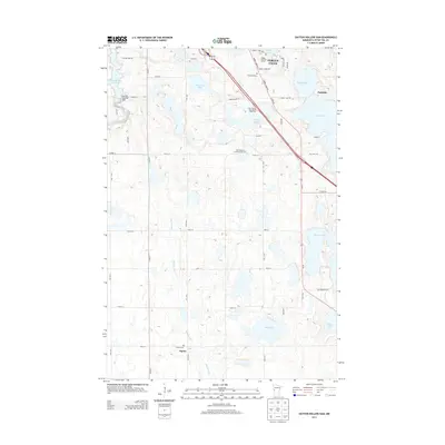
2013 Map of Dayton Hollow Dam
USGS Topo · Published 2013About this map
Fergus Falls and the surrounding prairies of Otter Tail County are defined by a complex network of glacial lakes and river systems. This survey documents the critical water infrastructure at Dayton Hollow Dam, which holds back the Dayton Hollow Reservoir on the Otter Tail River. To the south, the Mustinka River winds through a landscape dotted with smaller settlements like Squier and Parkdale. Genealogists will find significant local history in the presence of several established burial grounds, including Aastad Cem and Bethlehem Lutheran Cem. The terrain reflects a mix of recreation and agriculture, with the Pebble Lake Golf Course and numerous bodies of water such as Chautauqua Lake and Swan Lake interspersed among section-line roads like Veitenheimer Rd.
Find a feature on this map
43 named features on this map. Tap any name to fly to it.
Don’t see what you’re looking for? This feature index may not catch every label — zoom into the map to look around manually.
Map Details
Editions of this 2013 Dayton Hollow Dam Map
This is the sole edition of this map. No revisions or reprints were ever made.
Other maps of this area

1910 · Wendell
USGS Topo · 1:62,500

1913 · Ashby
USGS Topo · 1:62,500

1913 · Fergus Falls
USGS Topo · 1:62,500

1913 · Wendell
USGS Topo · 1:62,500

1915 · Underwood
USGS Topo · 1:62,500

1953 · Fargo
USGS Topo · 1:250,000

1953 · Brainerd
USGS Topo · 1:250,000

1956 · Fargo
USGS Topo · 1:250,000

1957 · Brainerd
USGS Topo · 1:250,000

1958 · Brainerd
USGS Topo · 1:250,000