
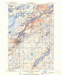
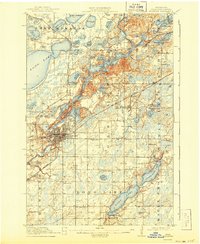
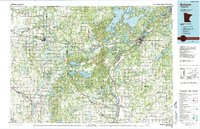
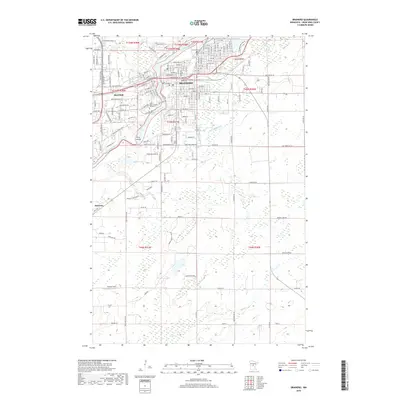
1957 Map of Brainerd
USGS Topo · Published 1957About this map
Camp Ripley Military Reservation and the surrounding lake country of north-central Minnesota are documented here during the mid-1950s. The landscape is defined by its complex hydrology, with the Mississippi River and the Crow Wing River winding through heavily timbered tracts like Land O'Lakes State Forest and Pillsbury State Forest. Transportation networks in this era were firmly established around regional hubs such as Brainerd and Detroit Lakes, where the Northern Pacific and Great Northern railroads intersect with major arteries like U.S. 10. The map captures the interface between the agricultural southern plains and the northern woods of the Chippewa National Forest, while the western edge shows the significant land holdings of the White Earth Indian Reservation. From the resort-heavy shores of Gull Lake and Pelican Lake to the smaller settlements of Wadena and Park Rapids, the sheet illustrates the post-war development of the region's recreational and industrial infrastructure.
Find a feature on this map
64 named features on this map. Tap any name to fly to it.
Don’t see what you’re looking for? This feature index may not catch every label — zoom into the map to look around manually.
Map Details
Editions of this 1957 Brainerd Map
This is the sole edition of this map. No revisions or reprints were ever made.
Historical Maps of Brainerd Through Time
13 maps found
1915 Brainerd
Crow Wing County, MN
1918 Brainerd
Crow Wing County, MN
1953 Brainerd
Crow Wing County, MN
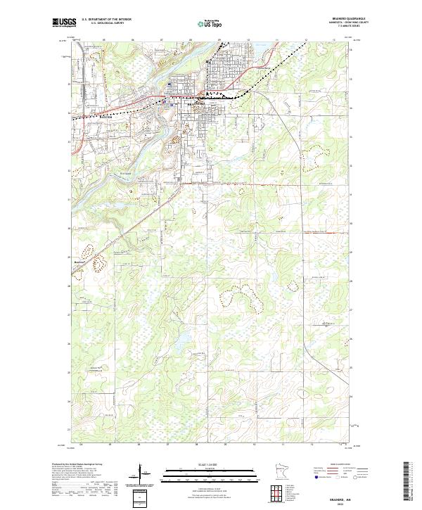
1957 Brainerd
Crow Wing County, MN

1958 Brainerd
Crow Wing County, MN

1965 Brainerd
Crow Wing County, MN
1973 Brainerd
Crow Wing County, MN
1986 Brainerd
Crow Wing County, MN
2010 Brainerd
Crow Wing County, MN
2013 Brainerd
Crow Wing County, MN
2016 Brainerd
Crow Wing County, MN
2019 Brainerd
Crow Wing County, MN
2022 Brainerd
Crow Wing County, MN