
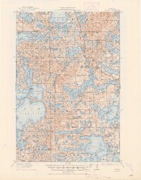
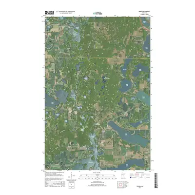
1912 Map of Vergas
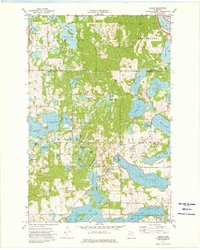
USGS Topo · Published 1969About this map
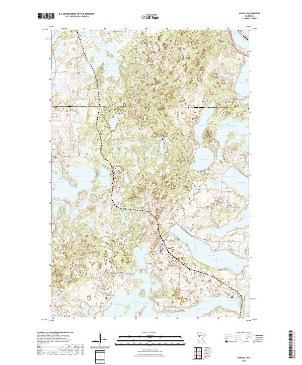
Vergas serves as the primary hub of this 1912 landscape, situated along the Winnipeg Line of the Minneapolis St Paul and Sault Ste Marie railroad. The geography is defined by an immense network of water, with the Pelican River winding through townships like Burlington and Candor. Industrial and community life are grounded in the terrain, evidenced by Bucks Mill near Lake Melissa and a dense concentration of rural schoolhouses, including Jacobs School and School No 254, which served the scattered residents across Maplewood and Lida. The map reveals a transition era where rail infrastructure and water-powered industry like the Mill Pond dictated the placement of early settlements and seasonal residences before the expansion of modern highways.
Find a feature on this map
96 named features on this map. Tap any name to fly to it.
Don’t see what you’re looking for? This feature index may not catch every label — zoom into the map to look around manually.
Map Details
Editions of this 1912 Vergas Map
This is the sole edition of this map. No revisions or reprints were ever made.
Historical Maps of Lake Eunice Through Time
8 maps found
Featured Locations
- Mavis Frazier Trailer Park, MN
- Vergas, MN
- Heisler Manufactured Home Park, MN
- Bucks Mill, MN
- Lake Eunice, MN