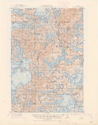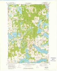
1973 Map of Vergas
USGS Topo · Published 1975About this map
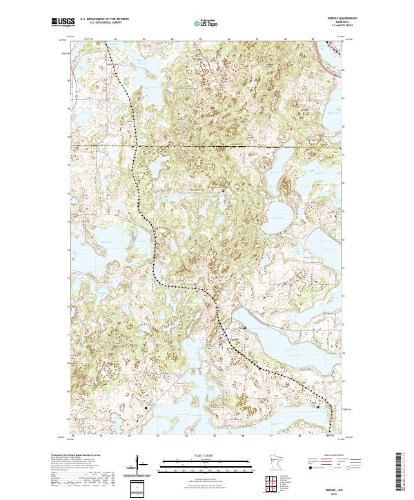
Vergas sits at the narrow passage between Long Lake and the smaller Lawrence Lake, anchoring a landscape defined by an exceptionally high density of glacial kettle lakes and wetlands. In the early 1970s, this area of Otter Tail County was characterized by a mix of wooded terrain and small-scale infrastructure, including numerous gravel pits and several distinct cemeteries that speak to the local genealogy. Notable landmarks for family researchers include St Johns Cem, Vergas Cem, and the uniquely named Free Thought Cem located near the southern boundary. The topography shows the town’s development along the shorelines of the larger water bodies like Rose Lake and Sybil Lake, while smaller features like Scalp Lake and Five Lake are scattered across the northern sections of Candor and Hobart townships.
Find a feature on this map
52 named features on this map. Tap any name to fly to it.
Don’t see what you’re looking for? This feature index may not catch every label — zoom into the map to look around manually.
Map Details
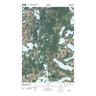
Editions of this 1973 Vergas Map
This is the sole edition of this map. No revisions or reprints were ever made.
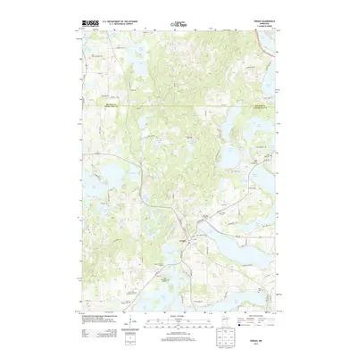
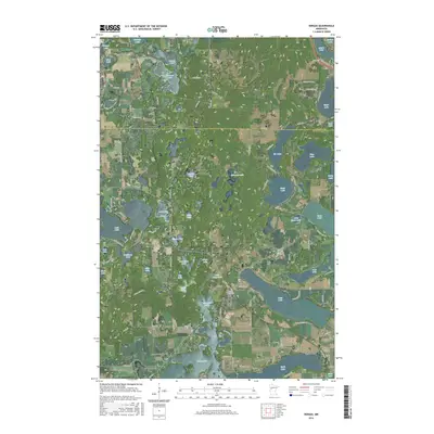
Historical Maps of Vergas Through Time
8 maps found