
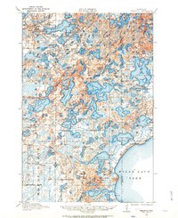
1958 Map of Brainerd
USGS Topo · Published 1958About this map
The Mississippi River winds through the heart of this mid-century central Minnesota landscape, anchoring a region defined by its dense concentration of lakes and significant public lands. The city of Brainerd serves as a primary hub, situated near the confluence of major transit lines and the expansive waters of Gull Lake and Pelican Lake. To the south, the Camp Ripley Military Reservation occupies a massive tract along the river, while the northern and eastern reaches are dominated by the Chippewa National Forest and Land O'Lakes State Forest.
Find a feature on this map
243 named features on this map. Tap any name to fly to it.
Don’t see what you’re looking for? This feature index may not catch every label — zoom into the map to look around manually.
Map Details
Editions of this 1958 Brainerd Map
This is the sole edition of this map. No revisions or reprints were ever made.
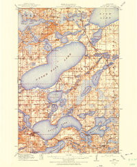
Other maps of this area

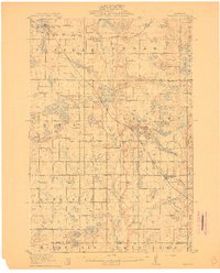
1910 · Wendell
USGS Topo · 1:62,500
1911 · Barrett
USGS Topo · 1:62,500

1911 · Herman
USGS Topo · 1:62,500
1912 · Deerwood
USGS Topo · 1:62,500

1912 · Vergas
USGS Topo · 1:62,500
1912 · Battle Lake
USGS Topo · 1:62,500

1913 · Ashby
USGS Topo · 1:62,500

1913 · Fergus Falls
USGS Topo · 1:62,500

1913 · Wendell
USGS Topo · 1:62,500

1913 · Cuyuna
USGS Topo · 1:62,500