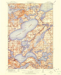
1912 Map of Battle Lake
USGS Topo · Published 1975About this map
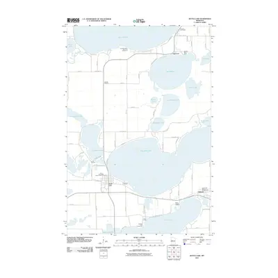
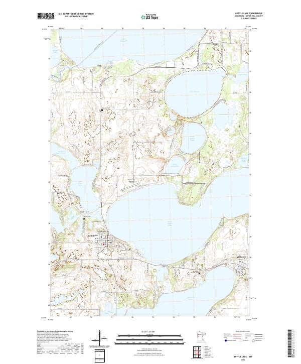
Otter Tail Lake and the surrounding glacial lake basin dominate this 1912 survey of central Minnesota, revealing a landscape defined by water and early 20th-century recreational development. Settlements like Battle Lake and Ottertail serve as anchors for the region, while numerous seasonal camps and lodges such as Island Lodge, Camp Nidaros, and Camp Corliss suggest the area's established role as a summer destination. The transportation network is dual-pronged, featuring the Northern Pacific RR and its Fergus Falls Branch alongside the Minneapolis St Paul and Sault Ste Marie RR. Beyond the larger waters of Dead Lake and Rush Lake, a dense system of rural education is visible through nearly twenty numbered schools, including School No 207 and School No 153, which supported the farmsteads of Everts and Girard townships.
Find a feature on this map
82 named features on this map. Tap any name to fly to it.
Don’t see what you’re looking for? This feature index may not catch every label — zoom into the map to look around manually.
Map Details
Editions of this 1912 Battle Lake Map
This is the sole edition of this map. No revisions or reprints were ever made.
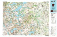
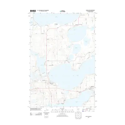
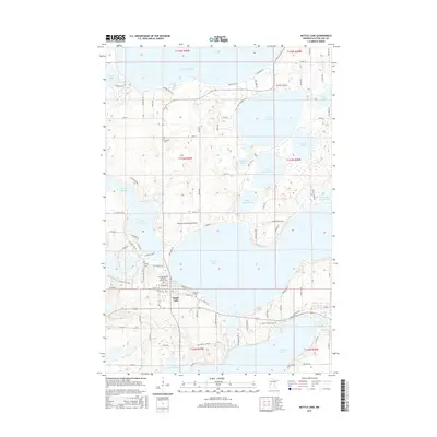
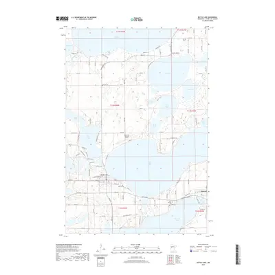
Historical Maps of Battle Lake Through Time
9 maps found
1912 Battle Lake
Otter Tail County, MN
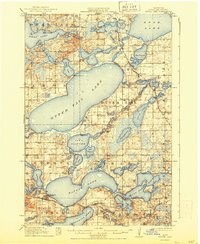
1914 Battle Lake
Otter Tail County, MN
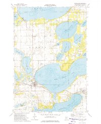
1973 Battle Lake
Otter Tail County, MN
1986 Battle Lake
Otter Tail County, MN
2010 Battle Lake
Otter Tail County, MN
2013 Battle Lake
Otter Tail County, MN
2016 Battle Lake
Otter Tail County, MN
2019 Battle Lake
Otter Tail County, MN
2022 Battle Lake
Otter Tail County, MN