
1959 Map of Rochert
USGS Topo · Published 1960About this map
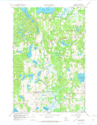
Rochert serves as the central hub of this lake-strewn landscape in the late 1950s, where the Otter Tail River winds through the northern wetlands toward Cotton Lake. The terrain is characterized by a dense network of glacial water bodies, including Pickerel Lake, Rice Lake, and Hungry Lake, many of which supported seasonal and permanent lakeside development. The Hubbel Pond Game Refuge occupies the northeastern corner, highlighting the area's transition into conservation land. Genealogy researchers can find several localized landmarks, such as Chilton Cemetery and Mount Olive Cemetery, along with small rural institutions like Riverside School and School No 51. The presence of the Gaging Station and various gravel pits near Perch Lake and Rochert indicates a working landscape integrated with the natural water systems of the Erie and Burlington townships.
Find a feature on this map
37 named features on this map. Tap any name to fly to it.
Don’t see what you’re looking for? This feature index may not catch every label — zoom into the map to look around manually.
Map Details
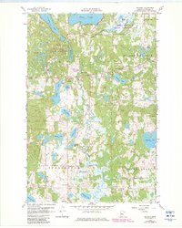
Editions of this 1959 Rochert Map
3 editions found
Other maps of this area

1912 · Vergas
USGS Topo · 1:62,500

1915 · Perham
USGS Topo · 1:62,500

1915 · Vergas
USGS Topo · 1:62,500

1953 · Brainerd
USGS Topo · 1:250,000

1957 · Brainerd
USGS Topo · 1:250,000

1958 · Brainerd
USGS Topo · 1:250,000

1959 · Toad Mountain
USGS Topo · 1:24,000

1959 · Flat Lake
USGS Topo · 1:24,000

1959 · Richwood
USGS Topo · 1:24,000

1959 · Height Of Land Lake
USGS Topo · 1:24,000