
1959 Map of Flat Lake
USGS Topo · Published 1960About this map
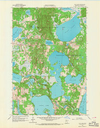
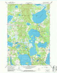
The White Earth Indian Reservation Boundary cuts through this landscape of the late 1950s, defining a region where glacial lakes and wetlands dominate the terrain. A significant portion of the sheet is dedicated to the Tamarac National Wildlife Refuge, featuring the sprawling waters of Tamarac Lake and Flat Lake. This map captures a transition point between watersheds, where the Buffalo River flows toward the Red River of the North while the Otter Tail River drains southward from the Hubbel Pond Game Refuge.
Find a feature on this map
38 named features on this map. Tap any name to fly to it.
Don’t see what you’re looking for? This feature index may not catch every label — zoom into the map to look around manually.
Map Details
Editions of this 1959 Flat Lake Map
3 editions found
Other maps of this area

1953 · Brainerd
USGS Topo · 1:250,000

1954 · Bemidji
USGS Topo · 1:250,000

1957 · Brainerd
USGS Topo · 1:250,000

1957 · Bemidji
USGS Topo · 1:250,000

1958 · Bemidji
USGS Topo · 1:250,000

1958 · Brainerd
USGS Topo · 1:250,000

1959 · Toad Mountain
USGS Topo · 1:24,000

1959 · Rochert
USGS Topo · 1:24,000

1959 · Richwood
USGS Topo · 1:24,000

1959 · Height Of Land Lake
USGS Topo · 1:24,000