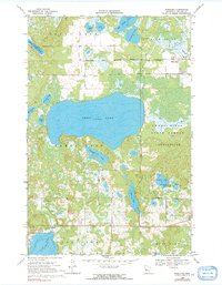
1969 Map of Ponsford
USGS Topo · Published 1991About this map
The White Earth Indian Reservation Boundary defines the northern reaches of this landscape, where the settlement of Pine Point sits near the shores of Mission Lake. This late 1960s survey documents a region defined by its complex glacial hydrology, centered on the expansive Shell Lake and the winding Shell River. The presence of Grand Medicine Cem and St Theodore Cem near the reservation line provides significant points of interest for genealogists and local historians, reflecting the cultural heritage of the area.
Find a feature on this map
39 named features on this map. Tap any name to fly to it.
Don’t see what you’re looking for? This feature index may not catch every label — zoom into the map to look around manually.
Map Details
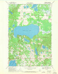
Editions of this 1969 Ponsford Map
2 editions found
Other maps of this area

1953 · Brainerd
USGS Topo · 1:250,000

1954 · Bemidji
USGS Topo · 1:250,000

1957 · Brainerd
USGS Topo · 1:250,000

1957 · Bemidji
USGS Topo · 1:250,000

1958 · Bemidji
USGS Topo · 1:250,000

1958 · Brainerd
USGS Topo · 1:250,000

1959 · Toad Mountain
USGS Topo · 1:24,000

1959 · Height Of Land Lake
USGS Topo · 1:24,000

1965 · Brainerd
USGS Topo · 1:250,000

1969 · Many Point Lake
USGS Topo · 1:24,000