
1954 Map of Bemidji
USGS Topo · Published 1966About this map
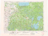
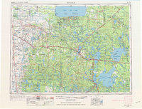
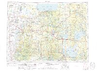
Lower Red Lake and Upper Red Lake dominate the northern landscape of this mid-century survey, anchoring the Red Lake Indian Reservation. The region is defined by a dense network of water and timber, including the Chippewa National Forest and the White Earth Indian Reservation. A robust rail infrastructure is evident during this era, with the Great Northern RR, Northern Pacific RR, and Soo Line RR all traversing the territory, connecting timber-rich hubs like Bemidji and Walker. Numerous small communities such as Gonvick, Mahnomen, and Clearbrook serve as anchors for local trade and social life, often centered around a School or Cemetery. The map details a transition in transportation as major routes like U.S. 2 and U.S. 71 become primary arteries through the forests, even as traditional landmarks like the White Earth Church and various lookout towers remain prominent features of the rural Minnesota horizon.
Find a feature on this map
240 named features on this map. Tap any name to fly to it.
Don’t see what you’re looking for? This feature index may not catch every label — zoom into the map to look around manually.
Map Details
Editions of this 1954 Bemidji Map
4 editions found
Other maps of this area

1918 · Terrebonne
USGS Topo · 1:62,500

1918 · Flom
USGS Topo · 1:62,500

1918 · Jelle
USGS Topo · 1:62,500

1918 · Zora
USGS Topo · 1:62,500

1919 · Fosston
USGS Topo · 1:62,500

1919 · Rosy
USGS Topo · 1:62,500

1919 · Grit
USGS Topo · 1:62,500

1919 · Zora
USGS Topo · 1:62,500

1919 · Lundgren
USGS Topo · 1:62,500

1919 · Fox
USGS Topo · 1:62,500