
1965 Map of Brainerd
USGS Topo · Published 1965About this map
White Earth Indian Reservation and Leech Lake Indian Reservation anchor the northern reaches of this mid-century survey, a landscape defined by an incredibly dense network of glacial lakes and wetlands. The western portion is dominated by the sprawling waters of Otter Tail Lake and Lake Lida, while the regional hub of Detroit Lakes serves as a primary junction for the Northern Pacific RR and the Soo Line RR. This rail corridor facilitated the growth of timber and agricultural settlements like Frazee, Perham, and Henning. Moving eastward, the terrain transitions into the heavily forested tracts of Foothills State Forest and Pillsbury State Forest. Near the southern boundary, Camp Ripley Military Reservation occupies the bend of the Crow Wing River, illustrating the area's strategic use of its diverse topography and water resources.
Find a feature on this map
174 named features on this map. Tap any name to fly to it.
Don’t see what you’re looking for? This feature index may not catch every label — zoom into the map to look around manually.
Map Details
Editions of this 1965 Brainerd Map
This is the sole edition of this map. No revisions or reprints were ever made.
Other maps of this area

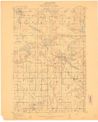
1910 · Wendell
USGS Topo · 1:62,500
1911 · Barrett
USGS Topo · 1:62,500

1911 · Herman
USGS Topo · 1:62,500
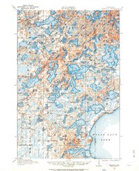
1912 · Deerwood
USGS Topo · 1:62,500

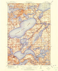
1912 · Vergas
USGS Topo · 1:62,500
1912 · Battle Lake
USGS Topo · 1:62,500

1913 · Ashby
USGS Topo · 1:62,500

1913 · Fergus Falls
USGS Topo · 1:62,500

1913 · Wendell
USGS Topo · 1:62,500

1913 · Cuyuna
USGS Topo · 1:62,500