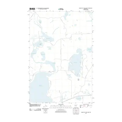
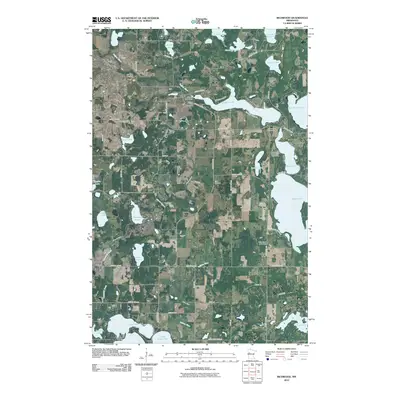
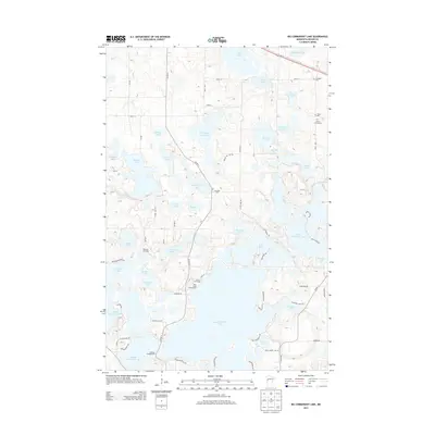
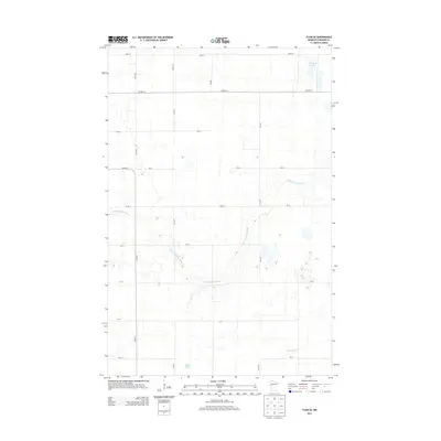
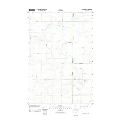
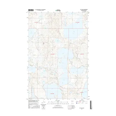
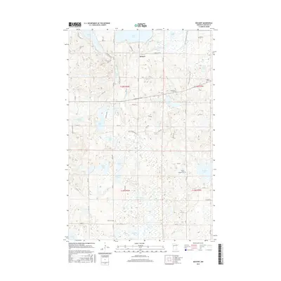
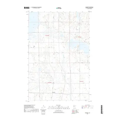
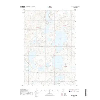
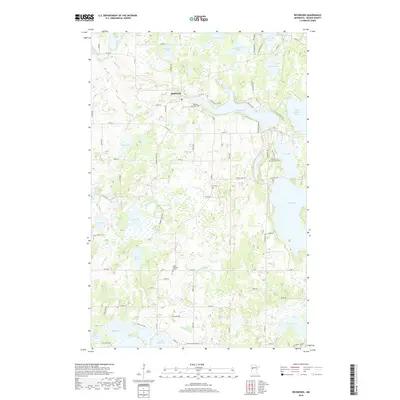
1969 Map of Evergreen
USGS Topo · Published 1991About this map
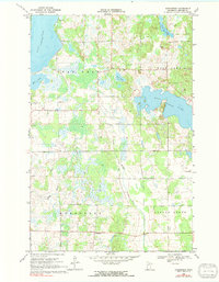
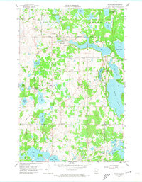
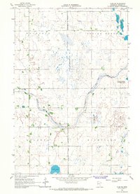
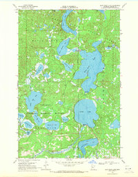
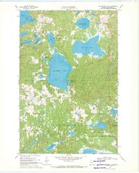
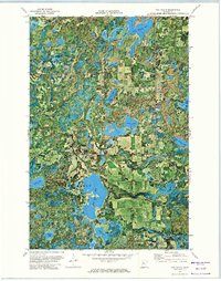
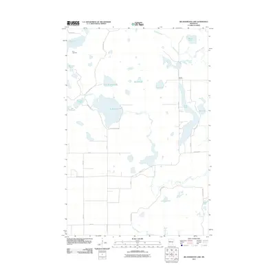
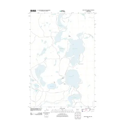
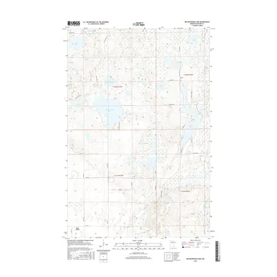
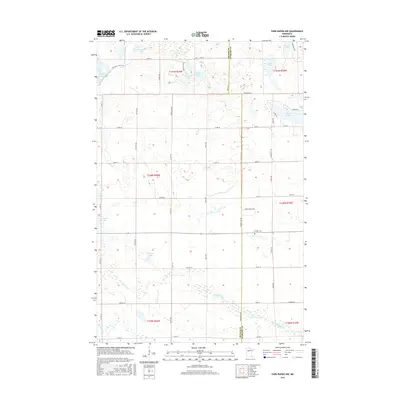
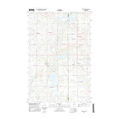
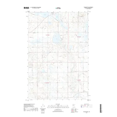
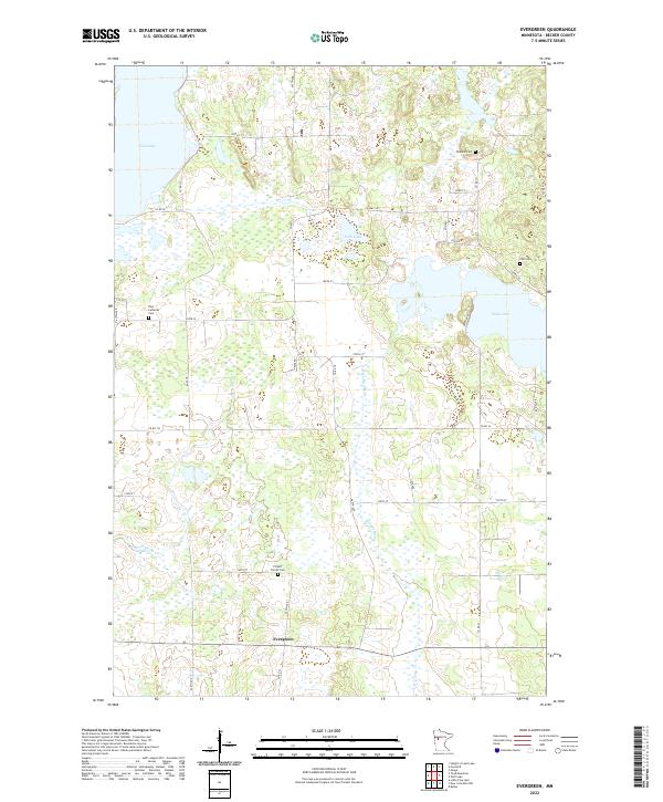
Toad Lake and Wolf Lake dominate this landscape within the townships of Evergreen and Spruce Grove. Based on field work from 1969, the map reveals a rural geography defined by glacial water bodies and meandering streams like Dead Horse Creek and the Redeye River. Small local landmarks provide important context for the community during this era, including Zion Ch and the Pickerel Ch and adjacent Pickerel Cem to the north. Numerous Gravel Pits are scattered across the terrain, indicating the local industry of the period. The settlement of Evergreen sits at a crossroads in the southern portion of the sheet, serving as a focal point for the surrounding agricultural and lakeside properties. This survey provides a clear view of the road network and section lines that structured land ownership and movement in central Becker County at the end of the 1960s.
Find a feature on this map
18 named features on this map. Tap any name to fly to it.
Don’t see what you’re looking for? This feature index may not catch every label — zoom into the map to look around manually.
Map Details
Editions of this 1969 Evergreen Map
2 editions found
Historical Maps of Evergreen Through Time
103 maps found

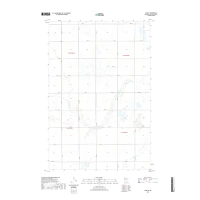
1918 Flom
Becker County, MN
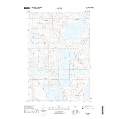
1959 Flat Lake
Becker County, MN
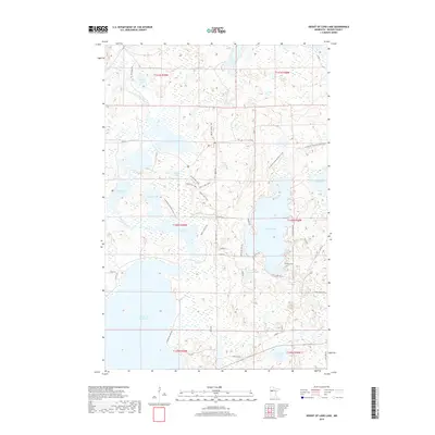
1959 Height Of Land Lake
Becker County, MN
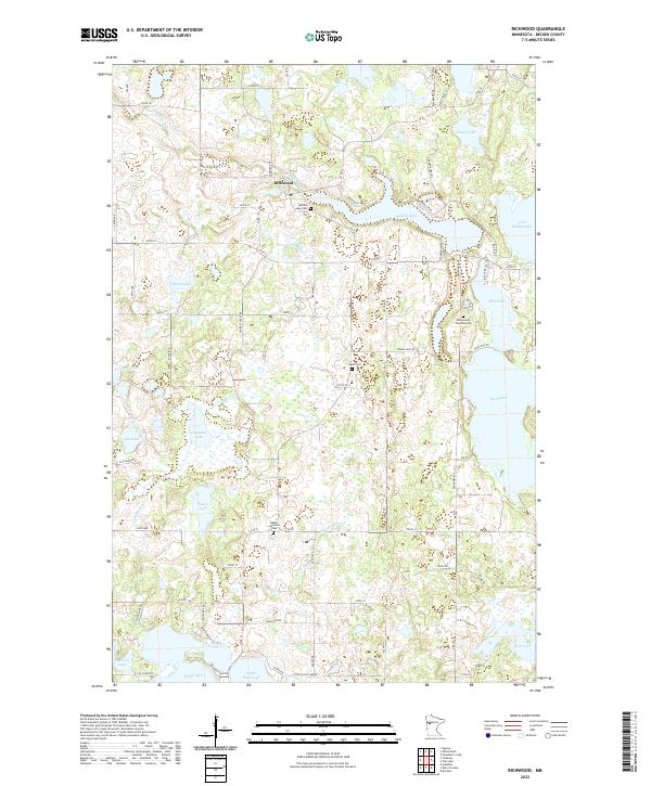
1959 Richwood
Becker County, MN
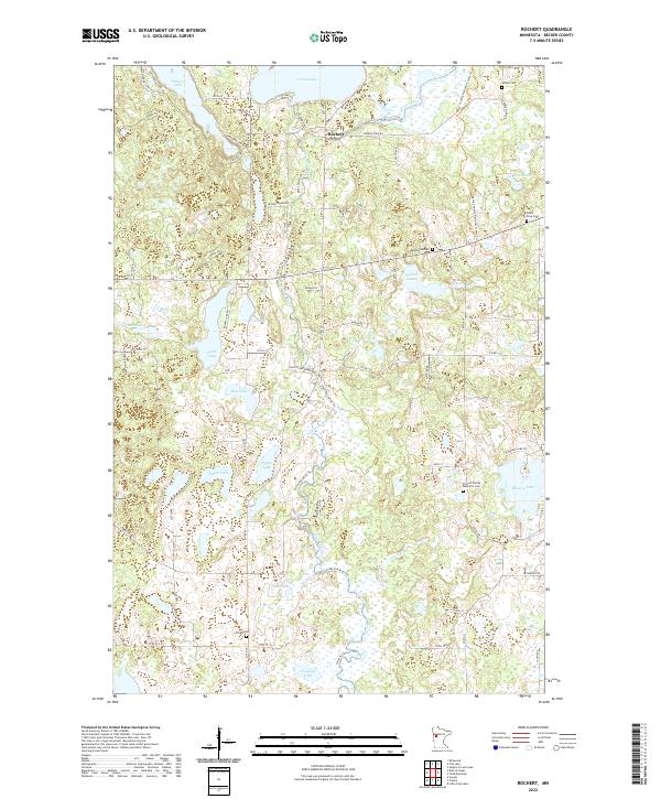
1959 Rochert
Becker County, MN
1959 Toad Mountain
Becker County, MN
1966 Big Cormorant Lake
Becker County, MN
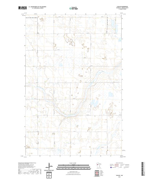
1966 Flom SE
Becker County, MN
1966 Tilde Lake
Becker County, MN
1969 Big Basswood Lake
Becker County, MN
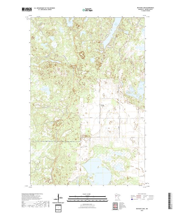
1969 Big Rush Lake
Becker County, MN
1969 Evergreen
Becker County, MN
1969 Many Point Lake
Becker County, MN
1969 Park Rapids NW
Becker County, MN
1969 Park Rapids SW
Becker County, MN
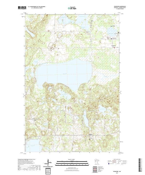
1969 Ponsford
Becker County, MN
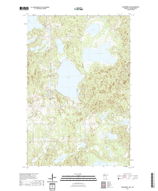
1969 Strawberry Lake
Becker County, MN
1972 Two Inlets
Becker County, MN
2010 Big Cormorant Lake
Becker County, MN
2010 Evergreen
Becker County, MN
2010 Height of Land Lake
Becker County, MN
2010 Park Rapids NW
Becker County, MN
2010 Park Rapids SW
Becker County, MN
2010 Ponsford
Becker County, MN
2010 Richwood
Becker County, MN
2010 Rochert
Becker County, MN
2010 Toad Mountain
Becker County, MN
2010 Two Inlets
Becker County, MN
2011 Big Basswood Lake
Becker County, MN
2011 Big Rush Lake
Becker County, MN
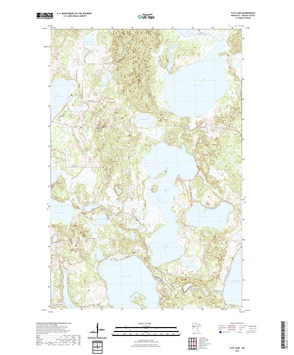
2011 Flat Lake
Becker County, MN
2011 Flom SE
Becker County, MN
2011 Many Point Lake
Becker County, MN
2011 Strawberry Lake
Becker County, MN
2011 Tilde Lake
Becker County, MN
2013 Big Basswood Lake
Becker County, MN
2013 Big Cormorant Lake
Becker County, MN
2013 Big Rush Lake
Becker County, MN
2013 Evergreen
Becker County, MN
2013 Flat Lake
Becker County, MN
2013 Flom SE
Becker County, MN
2013 Height of Land Lake
Becker County, MN
2013 Many Point Lake
Becker County, MN
2013 Park Rapids NW
Becker County, MN
2013 Park Rapids SW
Becker County, MN
2013 Ponsford
Becker County, MN
2013 Richwood
Becker County, MN
2013 Rochert
Becker County, MN
2013 Strawberry Lake
Becker County, MN
2013 Tilde Lake
Becker County, MN
2013 Toad Mountain
Becker County, MN
2013 Two Inlets
Becker County, MN
2016 Big Basswood Lake
Becker County, MN
2016 Big Cormorant Lake
Becker County, MN
2016 Big Rush Lake
Becker County, MN
2016 Evergreen
Becker County, MN
2016 Flat Lake
Becker County, MN
2016 Flom SE
Becker County, MN
2016 Height of Land Lake
Becker County, MN
2016 Many Point Lake
Becker County, MN
2016 Park Rapids NW
Becker County, MN
2016 Park Rapids SW
Becker County, MN
2016 Ponsford
Becker County, MN
2016 Richwood
Becker County, MN
2016 Rochert
Becker County, MN
2016 Strawberry Lake
Becker County, MN
2016 Tilde Lake
Becker County, MN
2016 Toad Mountain
Becker County, MN
2016 Two Inlets
Becker County, MN
2019 Big Basswood Lake
Becker County, MN
2019 Big Cormorant Lake
Becker County, MN
2019 Big Rush Lake
Becker County, MN
2019 Evergreen
Becker County, MN
2019 Flat Lake
Becker County, MN
2019 Flom SE
Becker County, MN
2019 Height of Land Lake
Becker County, MN
2019 Many Point Lake
Becker County, MN
2019 Park Rapids NW
Becker County, MN
2019 Park Rapids SW
Becker County, MN
2019 Ponsford
Becker County, MN
2019 Richwood
Becker County, MN
2019 Rochert
Becker County, MN
2019 Strawberry Lake
Becker County, MN
2019 Tilde Lake
Becker County, MN
2019 Toad Mountain
Becker County, MN
2019 Two Inlets
Becker County, MN
2022 Big Basswood Lake
Becker County, MN
2022 Big Cormorant Lake
Becker County, MN
2022 Big Rush Lake
Becker County, MN
2022 Evergreen
Becker County, MN
2022 Flat Lake
Becker County, MN
2022 Flom SE
Becker County, MN
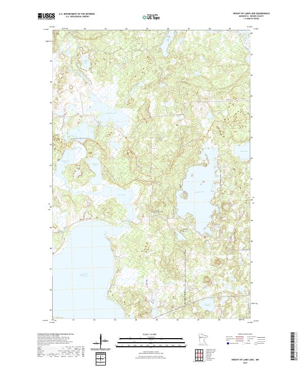
2022 Height of Land Lake
Becker County, MN
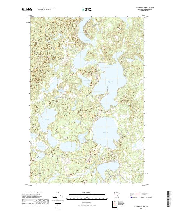
2022 Many Point Lake
Becker County, MN
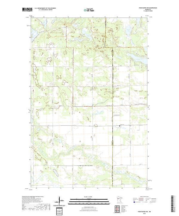
2022 Park Rapids NW
Becker County, MN
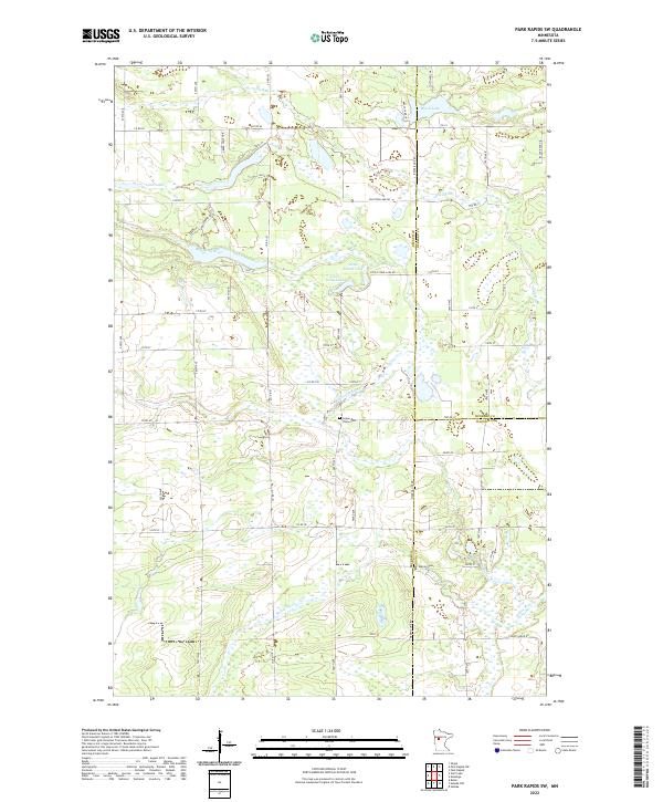
2022 Park Rapids SW
Becker County, MN
2022 Ponsford
Becker County, MN
2022 Richwood
Becker County, MN
2022 Rochert
Becker County, MN
2022 Strawberry Lake
Becker County, MN
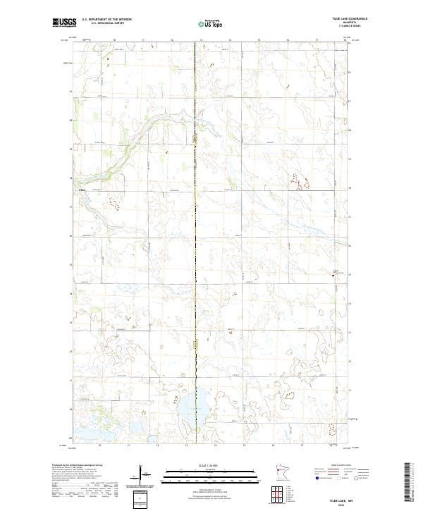
2022 Tilde Lake
Becker County, MN
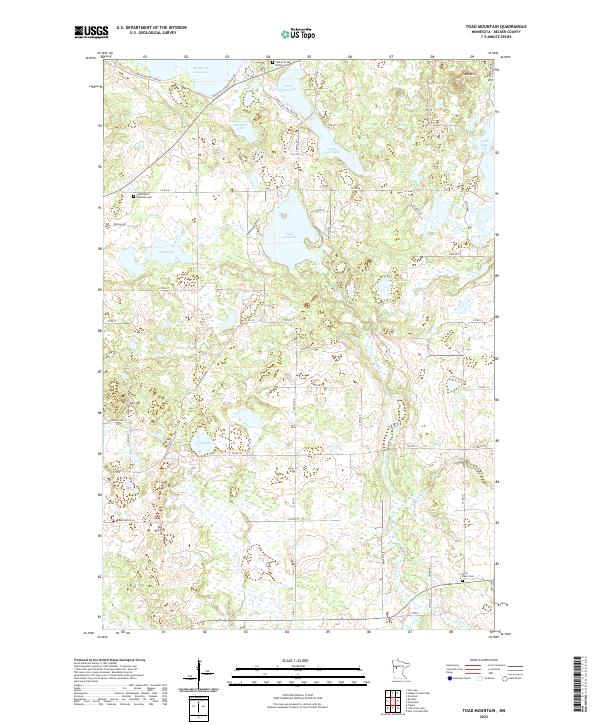
2022 Toad Mountain
Becker County, MN
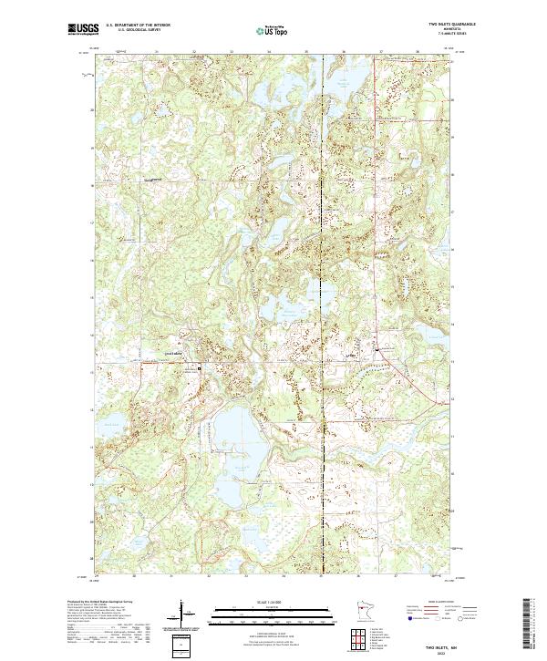
2022 Two Inlets
Becker County, MN