
1969 Map of Wolf Lake
USGS Topo · Published 1971About this map
Smoky Hills State Forest dominates the northern reaches of this Becker County landscape, where the Wolf Lake Lookout Tower once stood watch over a dense network of glacial lakes and steep ridges. The terrain transitions from the wooded Smoky Hills in the north to the agricultural fields of Spruce Grove and Runeberg townships in the south. This transition reveals a settlement pattern centered on small rural congregations and water access, with the Wolf Lake community situated near its namesake water body.
Find a feature on this map
27 named features on this map. Tap any name to fly to it.
Don’t see what you’re looking for? This feature index may not catch every label — zoom into the map to look around manually.
Map Details
Editions of this 1969 Wolf Lake Map
This is the sole edition of this map. No revisions or reprints were ever made.
Other maps of this area

1953 · Brainerd
USGS Topo · 1:250,000

1957 · Brainerd
USGS Topo · 1:250,000

1958 · Brainerd
USGS Topo · 1:250,000

1965 · Brainerd
USGS Topo · 1:250,000

1969 · Evergreen
USGS Topo · 1:24,000

1969 · Park Rapids SW
USGS Topo · 1:24,000

1969 · New York Mills NW
USGS Topo · 1:24,000

1969 · Sebeka NW
USGS Topo · 1:24,000
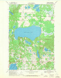
1969 · Ponsford
USGS Topo · 1:24,000
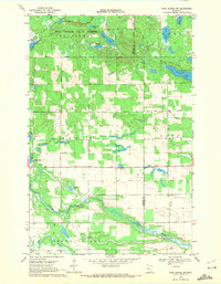
1969 · Park Rapids NW
USGS Topo · 1:24,000